Property Record
647 S Main St, Brigham City, UT 84302

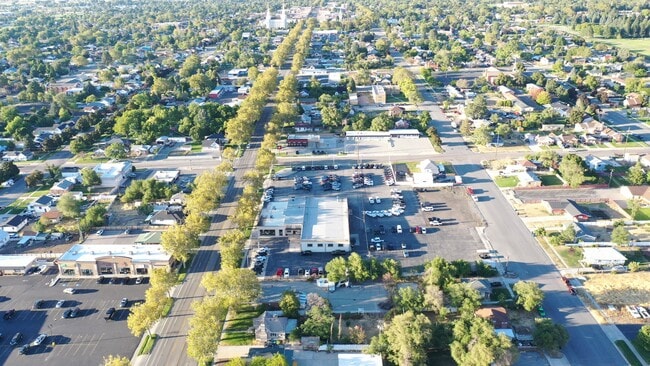
This Property Is For Sale
Current Lease Availabilities
NEARBY LISTINGS FOR SALE OR LEASE
Property Detail
647 S Main St
Ogden-Clearfield, UT
BEGINNING AT THE NW CORNER OF LOT 06, BLK 19, PLAT B, BCS. THENCE SOUTH 73.5 FT; EAST 178 FT; NORTH 73.5 FT; WEST 178 FT TO
03-140-0005
Box Elder
Commercialnec
Utah
X
6
49003C2260D
0.32 AC
2025
Utah North Area
2025
Other Market Areas
960500
DEMOGRAPHICS near 647 S Main St
1 Mile
3 Mile
5 Mile
2024 Total Population
10,548
25,963
29,225
2029 Population
12,199
30,039
33,859
Pop Growth 2024-2029
+ 15.65%
+ 15.70%
+ 15.86%
Average Age
36
36
36
2024 Total Households
3,784
8,801
9,774
HH Growth 2024-2029
+ 15.62%
+ 15.68%
+ 15.81%
Median Household Inc
$55,227
$67,873
$70,507
Avg Household Size
2.70
2.90
2.90
2024 Avg HH Vehicles
2.00
2.00
2.00
Median Home Value
$270,073
$303,230
$315,712
Median Year Built
1976
1977
1978
Nearby Places
Map Layers
Map Styles
 Street
 Aerial
- Restaurants
- Banks
- Shops
- Fitness
- Groceries
Nearby Properties
Address
Land Use
TOTAL SIZE
Lot Size
Zoning
Address
Land Use
TOTAL SIZE
Lot Size
Zoning
88.86 AC
Address
Land Use
TOTAL SIZE
Lot Size
Zoning
Address
Land Use
TOTAL SIZE
Lot Size
Zoning
219,000 SF
53.94 AC
Address
Land Use
TOTAL SIZE
Lot Size
Zoning
17,172 SF
5.64 AC
Address
Land Use
TOTAL SIZE
Lot Size
Zoning
184,435 SF
9.95 AC
Address
Land Use
TOTAL SIZE
Lot Size
Zoning
92,100 SF
6.83 AC
Address
Land Use
TOTAL SIZE
Lot Size
Zoning
41,584 SF
10.78 AC
Address
Land Use
TOTAL SIZE
Lot Size
Zoning
19.04 AC
Address
Land Use
TOTAL SIZE
Lot Size
Zoning
318.85 AC
Address
Land Use
TOTAL SIZE
Lot Size
Zoning
3.31 AC
Address
Land Use
TOTAL SIZE
Lot Size
Zoning
1.43 AC
Address
Land Use
TOTAL SIZE
Lot Size
Zoning
4.45 AC
Address
Land Use
TOTAL SIZE
Lot Size
Zoning
170.94 AC
Address
Land Use
TOTAL SIZE
Lot Size
Zoning
6,570 SF
9.11 AC
Address
Land Use
TOTAL SIZE
Lot Size
Zoning
2.88 AC
Address
Land Use
TOTAL SIZE
Lot Size
Zoning
32,698 SF
2.41 AC
Address
Land Use
TOTAL SIZE
Lot Size
Zoning
31,882 SF
5.10 AC
Address
Land Use
TOTAL SIZE
Lot Size
Zoning
3.60 AC
Address
Land Use
TOTAL SIZE
Lot Size
Zoning
3.92 AC
Address
Land Use
TOTAL SIZE
Lot Size
Zoning
39,674 SF
2.73 AC
Address
Land Use
TOTAL SIZE
Lot Size
Zoning
28,191 SF
2.29 AC
Address
Land Use
TOTAL SIZE
Lot Size
Zoning
30,978 SF
1.49 AC
Address
Land Use
TOTAL SIZE
Lot Size
Zoning
13,014 SF
1.40 AC
Address
Land Use
TOTAL SIZE
Lot Size
Zoning
11,070 SF
5.95 AC
Address
Land Use
TOTAL SIZE
Lot Size
Zoning
Address
Land Use
TOTAL SIZE
Lot Size
Zoning
7,945 SF
4.80 AC
Address
Land Use
TOTAL SIZE
Lot Size
Zoning
23,186 SF
3.56 AC
Address
Land Use
TOTAL SIZE
Lot Size
Zoning
10,264 SF
2.15 AC
Address
Land Use
TOTAL SIZE
Lot Size
Zoning
11,580 SF
1.83 AC
The World's #1 Commercial Real Estate Marketplace
Connect with us
© 2025 CoStar Group
The information above has been obtained from sources believed reliable. While we do not doubt its accuracy we have not verified it and make no guarantee, warranty or representation about it. It is your responsibility to independently confirm its accuracy and completeness. Any projections, opinions, assumptions, or estimates used are for example only and do not represent the current or future performance of the property. The value of this transaction to you depends on tax and other factors which should be evaluated by your tax, financial, and legal advisors. You and your advisors should conduct a careful, independent investigation of the property to determine to your satisfaction the suitability of the property for your needs.