Property Record
650 Beatty Rd, Monroeville, PA 15146


NEARBY LISTINGS FOR SALE OR LEASE
Property Detail
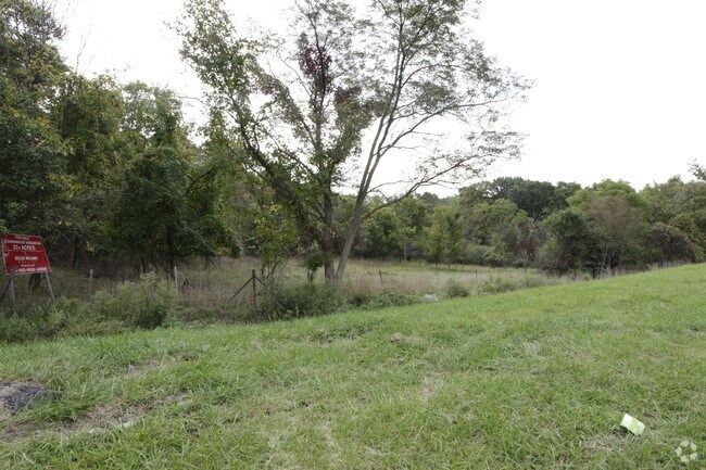
650 Beatty Rd
0855-M-00037-0000-00
11.463 A LD BEATTY RD 2 STY FRA HSE 1 STY FRA COOP
Sfr
Allegheny
X
Pennsylvania
42003C0384H
37
2021
11.46 AC
2025
Monroeville
521500
Pittsburgh
1,967 SF
Pittsburgh, PA
DEMOGRAPHICS near 650 Beatty Rd
1 mile
3 mile
5 mile
2024 Total Population
3,930
42,550
110,359
2029 Population
3,843
41,495
108,082
Pop Growth 2024-2029
(2.21%)
(2.48%)
(2.06%)
Average Age
47
44
44
2024 Total Households
1,809
18,485
48,340
HH Growth 2024-2029
(2.21%)
(2.60%)
(2.14%)
Median Household Inc
$84,852
$82,404
$71,614
Avg Household Size
2.10
2.20
2.20
2024 Avg HH Vehicles
2.00
2.00
2.00
Median Home Value
$175,670
$178,035
$169,576
Median Year Built
1965
1967
1962
Nearby Places
Map Layers
Map Styles
 Street
 Aerial
Transit
 Traffic
 Biking
Places
Listings with unknown addresses are not visible on the map
- Restaurants
- Banks
- Shops
- Fitness
- Groceries
PUBLIC TRANSPORTATION
AIRPORT
Arnold Palmer Regional
Drive
Walk
Distance
Arnold Palmer Regional
50 min
30.7 mi
Pittsburgh International
Drive
Walk
Distance
Pittsburgh International
48 min
32.0 mi
Freight Ports
Port of Baltimore
Drive
Walk
Distance
Port of Baltimore
275 min
235.8 mi
SALE & LEASE HISTORY
LISTING DATE
SALE/LEASE

Sep 24, 2016
For Sale
Feb 02, 2017
For Sale
Nearby Properties
Address
Land Use
TOTAL SIZE
Lot Size
Zoning
Address
Land Use
TOTAL SIZE
Lot Size
Zoning
16.27 AC
Address
Land Use
TOTAL SIZE
Lot Size
Zoning
Address
Land Use
TOTAL SIZE
Lot Size
Zoning
1,274 SF
115.40 AC
Address
Land Use
TOTAL SIZE
Lot Size
Zoning
Address
Land Use
TOTAL SIZE
Lot Size
Zoning
Address
Land Use
TOTAL SIZE
Lot Size
Zoning
46.31 AC
Address
Land Use
TOTAL SIZE
Lot Size
Zoning
23.25 AC
Address
Land Use
TOTAL SIZE
Lot Size
Zoning
6.61 AC
Address
Land Use
TOTAL SIZE
Lot Size
Zoning
42.24 AC
Address
Land Use
TOTAL SIZE
Lot Size
Zoning
148.17 AC
Address
Land Use
TOTAL SIZE
Lot Size
Zoning
Address
Land Use
TOTAL SIZE
Lot Size
Zoning
13.10 AC
Address
Land Use
TOTAL SIZE
Lot Size
Zoning
Address
Land Use
TOTAL SIZE
Lot Size
Zoning
15.99 AC
Address
Land Use
TOTAL SIZE
Lot Size
Zoning
58.87 AC
Address
Land Use
TOTAL SIZE
Lot Size
Zoning
Address
Land Use
TOTAL SIZE
Lot Size
Zoning
Address
Land Use
TOTAL SIZE
Lot Size
Zoning
Address
Land Use
TOTAL SIZE
Lot Size
Zoning
25.80 AC
Address
Land Use
TOTAL SIZE
Lot Size
Zoning
50.13 AC
Address
Land Use
TOTAL SIZE
Lot Size
Zoning
30.94 AC
Address
Land Use
TOTAL SIZE
Lot Size
Zoning
Address
Land Use
TOTAL SIZE
Lot Size
Zoning
Address
Land Use
TOTAL SIZE
Lot Size
Zoning
53.85 AC
Address
Land Use
TOTAL SIZE
Lot Size
Zoning
5.06 AC
Address
Land Use
TOTAL SIZE
Lot Size
Zoning
Address
Land Use
TOTAL SIZE
Lot Size
Zoning
53.05 AC
Address
Land Use
TOTAL SIZE
Lot Size
Zoning
11.65 AC
Address
Land Use
TOTAL SIZE
Lot Size
Zoning
Address
Land Use
TOTAL SIZE
Lot Size
Zoning
The World's #1 Commercial Real Estate Marketplace
Connect with us
© 2026 CoStar Group
The information above has been obtained from sources believed reliable. While we do not doubt its accuracy we have not verified it and make no guarantee, warranty or representation about it. It is your responsibility to independently confirm its accuracy and completeness. Any projections, opinions, assumptions, or estimates used are for example only and do not represent the current or future performance of the property. The value of this transaction to you depends on tax and other factors which should be evaluated by your tax, financial, and legal advisors. You and your advisors should conduct a careful, independent investigation of the property to determine to your satisfaction the suitability of the property for your needs.