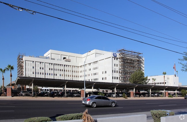
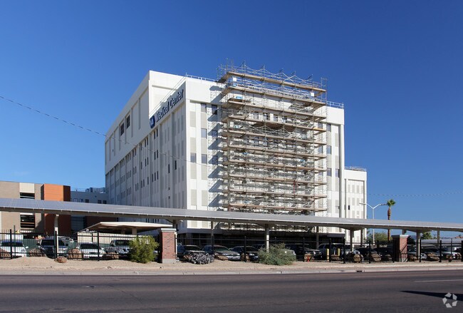
Property Record
650 E Indian School Rd, Phoenix, AZ 85012

Property Detail
650 E Indian School Rd
155-25-001U
SE4 EX N 1284.14F OF W 550.01F & EX N 578.42F OF E 618F & EX N 255F OF S 2033F OF E 331F & EX ANY PT DES P/F 96-0877259 96-0877264 & 96-0877267 & EX W 50F S 47F & E 33F RDS & EX P/D 2348-276 & EX P/D 7025-633
Federalproperty
Maricopa
M-H
Arizona
C and X Area of minimal flood hazard, usually depicted on FIRMs as above the 500-year flood level.
35.53 AC
0
Midtown
2025
Phoenix
117100
Phoenix-Mesa-Chandler, AZ
913,637 SF
NEARBY LISTINGS FOR SALE OR LEASE
DEMOGRAPHICS near 650 E Indian School Rd
1 mile
3 mile
5 mile
2025 Total Population
22,642
185,545
443,070
2030 Population
23,848
194,434
461,893
Pop Growth 2025-2030
+ 5.33%
+ 4.79%
+ 4.25%
Average Age
37
38
37
2025 Total Households
12,024
85,753
176,845
HH Growth 2025-2030
+ 5.26%
+ 5.02%
+ 4.57%
Median Household Inc
$67,783
$71,354
$67,914
Avg Household Size
1.80
2.10
2.40
2025 Avg HH Vehicles
1.00
1.00
2.00
Median Home Value
$459,420
$533,472
$485,031
Median Year Built
1985
1971
1971
Nearby Places
Map Layers
Map Styles
 Street
 Aerial
Layers
 Traffic
 Biking
Places
Listings with unknown addresses are not visible on the map
- Restaurants
- Banks
- Shops
- Fitness
- Groceries
PUBLIC TRANSPORTATION
TRANSIT/SUBWAY
Indian School/Central Ave (METRO Light Rail - Valley Metro (Phoenix Light Rail))
Drive
Walk
Distance
Indian School/Central Ave (METRO Light Rail - Valley Metro (Phoenix Light Rail))
4 min
11 min
0.6 mi
Campbell/Central Ave (METRO Light Rail - Valley Metro (Phoenix Light Rail))
Drive
Walk
Distance
Campbell/Central Ave (METRO Light Rail - Valley Metro (Phoenix Light Rail))
4 min
16 min
0.9 mi
Osborn/Central Ave (METRO Light Rail - Valley Metro (Phoenix Light Rail))
Drive
Walk
Distance
Osborn/Central Ave (METRO Light Rail - Valley Metro (Phoenix Light Rail))
4 min
20 min
1.1 mi
AIRPORT
Phoenix Sky Harbor International
Drive
Walk
Distance
Phoenix Sky Harbor International
15 min
8.1 mi
Phoenix-Mesa Gateway
Drive
Walk
Distance
Phoenix-Mesa Gateway
48 min
34.8 mi
Freight Ports
Port of San Diego
Drive
Walk
Distance
Port of San Diego
400 min
357.7 mi
Nearby Properties
Address
Land Use
TOTAL SIZE
Lot Size
Zoning
Address
Land Use
TOTAL SIZE
Lot Size
Zoning
582,073 SF
1.45 AC
C-C
Address
Land Use
TOTAL SIZE
Lot Size
Zoning
1.85 AC
Address
Land Use
TOTAL SIZE
Lot Size
Zoning
455,443 SF
3.21 AC
C-C
Address
Land Use
TOTAL SIZE
Lot Size
Zoning
339,909 SF
3 AC
C-C
Address
Land Use
TOTAL SIZE
Lot Size
Zoning
2,568,761 SF
48.36 AC
C-C
Address
Land Use
TOTAL SIZE
Lot Size
Zoning
437,102 SF
1.02 AC
C-2
Address
Land Use
TOTAL SIZE
Lot Size
Zoning
2,006,402 SF
18.66 AC
C-C
Address
Land Use
TOTAL SIZE
Lot Size
Zoning
2,334,671 SF
32.63 AC
C-2
Address
Land Use
TOTAL SIZE
Lot Size
Zoning
191,120 SF
1.43 AC
C-C
Address
Land Use
TOTAL SIZE
Lot Size
Zoning
71,306 SF
8.93 AC
M-H
Address
Land Use
TOTAL SIZE
Lot Size
Zoning
96,183 SF
11.04 AC
R-6
Address
Land Use
TOTAL SIZE
Lot Size
Zoning
222,983 SF
1.61 AC
C-DT
Address
Land Use
TOTAL SIZE
Lot Size
Zoning
686,094 SF
5.09 AC
C-C
Address
Land Use
TOTAL SIZE
Lot Size
Zoning
953,192 SF
28.99 AC
Address
Land Use
TOTAL SIZE
Lot Size
Zoning
860,020 SF
5.89 AC
C2
Address
Land Use
TOTAL SIZE
Lot Size
Zoning
21,587 SF
3.66 AC
R-10
Address
Land Use
TOTAL SIZE
Lot Size
Zoning
956,022 SF
14.86 AC
Address
Land Use
TOTAL SIZE
Lot Size
Zoning
410,000 SF
1.86 AC
C-C
Address
Land Use
TOTAL SIZE
Lot Size
Zoning
547,141 SF
18.52 AC
R-6
Address
Land Use
TOTAL SIZE
Lot Size
Zoning
367,982 SF
0.48 AC
DTCWEV
Address
Land Use
TOTAL SIZE
Lot Size
Zoning
386,004 SF
37.82 AC
R-6
Address
Land Use
TOTAL SIZE
Lot Size
Zoning
812,968 SF
7.08 AC
Address
Land Use
TOTAL SIZE
Lot Size
Zoning
517,609 SF
1.67 AC
C-C
Address
Land Use
TOTAL SIZE
Lot Size
Zoning
599,524 SF
5.09 AC
R5
Address
Land Use
TOTAL SIZE
Lot Size
Zoning
656,952 SF
3.58 AC
Address
Land Use
TOTAL SIZE
Lot Size
Zoning
184,363 SF
1.24 AC
WU
Address
Land Use
TOTAL SIZE
Lot Size
Zoning
496,222 SF
29.53 AC
C-R
Address
Land Use
TOTAL SIZE
Lot Size
Zoning
23,462 SF
1.91 AC
C-C
Address
Land Use
TOTAL SIZE
Lot Size
Zoning
567,481 SF
2 AC
The World's #1 Commercial Real Estate Marketplace
Connect with us
© 2026 CoStar Group
The information above has been obtained from sources believed reliable. While we do not doubt its accuracy we have not verified it and make no guarantee, warranty or representation about it. It is your responsibility to independently confirm its accuracy and completeness. Any projections, opinions, assumptions, or estimates used are for example only and do not represent the current or future performance of the property. The value of this transaction to you depends on tax and other factors which should be evaluated by your tax, financial, and legal advisors. You and your advisors should conduct a careful, independent investigation of the property to determine to your satisfaction the suitability of the property for your needs.