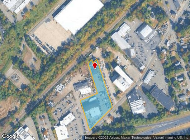
Property Record
650 Myrtle Ave, Boonton, NJ 07005

NEARBY LISTINGS FOR SALE OR LEASE
Property Detail
650 Myrtle Ave
Newark, NJ-PA
ADDITIONAL LOTS: L76 114X550
01-00069-0000-00075-16
Morris
Vehiclerentalsvehiclesales
New Jersey
2024
75.16
2025
2.20 AC
041000
Parsippany
21,490 SF
Northern New Jersey
DEMOGRAPHICS near 650 Myrtle Ave
1 Mile
3 Mile
5 Mile
2024 Total Population
8,696
48,477
103,602
2029 Population
8,718
48,350
103,709
Pop Growth 2024-2029
+ 0.25%
(0.26%)
+ 0.10%
Average Age
43
42
43
2024 Total Households
3,423
17,988
38,204
HH Growth 2024-2029
+ 0.44%
(0.27%)
+ 0.19%
Median Household Inc
$99,310
$114,928
$118,029
Avg Household Size
2.50
2.60
2.60
2024 Avg HH Vehicles
2.00
2.00
2.00
Median Home Value
$498,379
$582,400
$553,593
Median Year Built
1965
1968
1968
Nearby Places
Map Layers
Map Styles
 Street
 Aerial
- Restaurants
- Banks
- Shops
- Fitness
- Groceries
PUBLIC TRANSPORTATION
COMMUTER RAIL
Boonton (Montclair-Boonton Line - NJ Transit Commuter Rail (NJ Transit))
DRIVE
WALK
Distance
Boonton (Montclair-Boonton Line - NJ Transit Commuter Rail (NJ Transit))
2 min
19 min
1.0 mi
Mountain Lakes (Montclair-Boonton Line - NJ Transit Commuter Rail (NJ Transit))
DRIVE
WALK
Distance
Mountain Lakes (Montclair-Boonton Line - NJ Transit Commuter Rail (NJ Transit))
8 min
3.6 mi
AIRPORT
Newark Liberty International
DRIVE
WALK
Distance
Newark Liberty International
36 min
28.6 mi
LaGuardia
DRIVE
WALK
Distance
LaGuardia
55 min
38.4 mi
Freight Ports
Maher Terminal
DRIVE
WALK
Distance
Maher Terminal
39 min
29.1 mi
Nearby Properties
Address
Land Use
TOTAL SIZE
Lot Size
Zoning
Address
Land Use
TOTAL SIZE
Lot Size
Zoning
98,228 SF
16.66 AC
I-1
Address
Land Use
TOTAL SIZE
Lot Size
Zoning
32.61 AC
R-5
Address
Land Use
TOTAL SIZE
Lot Size
Zoning
140,560 SF
49.81 AC
R27A
Address
Land Use
TOTAL SIZE
Lot Size
Zoning
4,172 SF
338 AC
R-1
Address
Land Use
TOTAL SIZE
Lot Size
Zoning
132,411 SF
24.87 AC
B-5
Address
Land Use
TOTAL SIZE
Lot Size
Zoning
10.80 AC
R-5
Address
Land Use
TOTAL SIZE
Lot Size
Zoning
4.99 AC
OB
Address
Land Use
TOTAL SIZE
Lot Size
Zoning
171,032 SF
12.93 AC
POD
Address
Land Use
TOTAL SIZE
Lot Size
Zoning
4.02 AC
R-3
Address
Land Use
TOTAL SIZE
Lot Size
Zoning
11.52 AC
R-5
Address
Land Use
TOTAL SIZE
Lot Size
Zoning
184,993 SF
8.38 AC
POD
Address
Land Use
TOTAL SIZE
Lot Size
Zoning
179,144 SF
40.54 AC
R-3
Address
Land Use
TOTAL SIZE
Lot Size
Zoning
Address
Land Use
TOTAL SIZE
Lot Size
Zoning
211,848 SF
18.57 AC
POD
Address
Land Use
TOTAL SIZE
Lot Size
Zoning
41.21 AC
R-A
Address
Land Use
TOTAL SIZE
Lot Size
Zoning
11.07 AC
R-5
Address
Land Use
TOTAL SIZE
Lot Size
Zoning
10.46 AC
R-3
Address
Land Use
TOTAL SIZE
Lot Size
Zoning
225,092 SF
16.83 AC
POD
Address
Land Use
TOTAL SIZE
Lot Size
Zoning
10 AC
RASH
Address
Land Use
TOTAL SIZE
Lot Size
Zoning
50,948 SF
5.60 AC
C-1
Address
Land Use
TOTAL SIZE
Lot Size
Zoning
9.66 AC
R-5
Address
Land Use
TOTAL SIZE
Lot Size
Zoning
77,992 SF
9.87 AC
OB1
Address
Land Use
TOTAL SIZE
Lot Size
Zoning
18.05 AC
OB
Address
Land Use
TOTAL SIZE
Lot Size
Zoning
44,390 SF
2.06 AC
I-2
Address
Land Use
TOTAL SIZE
Lot Size
Zoning
88,819 SF
80.33 AC
R-1A
Address
Land Use
TOTAL SIZE
Lot Size
Zoning
76,160 SF
12.83 AC
I2
Address
Land Use
TOTAL SIZE
Lot Size
Zoning
1,227 SF
1,116.14 AC
R-3
Address
Land Use
TOTAL SIZE
Lot Size
Zoning
79,950 SF
33.01 AC
I2
Address
Land Use
TOTAL SIZE
Lot Size
Zoning
39,470 SF
4.65 AC
B-3
Address
Land Use
TOTAL SIZE
Lot Size
Zoning
114,540 SF
2.57 AC
OB2B
The World's #1 Commercial Real Estate Marketplace
Connect with us
© 2025 CoStar Group
The information above has been obtained from sources believed reliable. While we do not doubt its accuracy we have not verified it and make no guarantee, warranty or representation about it. It is your responsibility to independently confirm its accuracy and completeness. Any projections, opinions, assumptions, or estimates used are for example only and do not represent the current or future performance of the property. The value of this transaction to you depends on tax and other factors which should be evaluated by your tax, financial, and legal advisors. You and your advisors should conduct a careful, independent investigation of the property to determine to your satisfaction the suitability of the property for your needs.