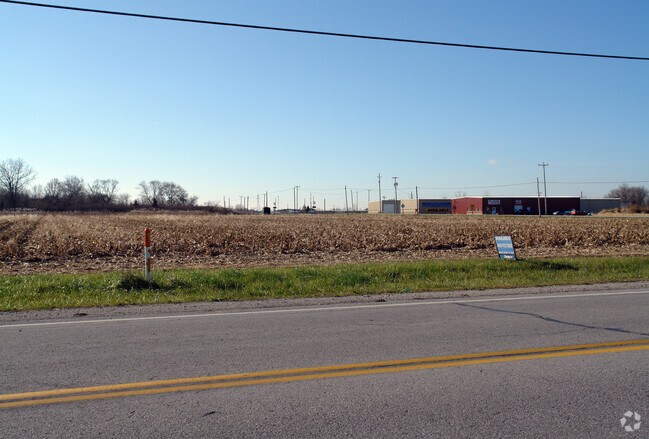
Property Record
650 S Plasterbed Rd, Port Clinton, OH 43452
NEARBY LISTINGS FOR SALE OR LEASE
Property Detail
650 S Plasterbed Rd
020-0719009514027
S03 T06 R17 PT SW 1/4
Autorepair
Ottawa
X
Ohio
39123C0145D
0.74 AC
0
Ottawa County
2024
Toledo
050500
Port Clinton, OH
6,000 SF
DEMOGRAPHICS near 650 S Plasterbed Rd
1 Mile
3 Mile
5 Mile
2024 Total Population
673
6,287
14,789
2029 Population
716
6,237
14,947
Pop Growth 2024-2029
+ 6.39%
(0.80%)
+ 1.07%
Average Age
47
45
47
2024 Total Households
285
2,828
6,846
HH Growth 2024-2029
+ 5.61%
(1.52%)
+ 0.70%
Median Household Inc
$129,815
$56,731
$57,633
Avg Household Size
2.00
2.10
2.10
2024 Avg HH Vehicles
2.00
2.00
2.00
Median Home Value
$233,035
$155,667
$187,928
Median Year Built
1970
1962
1974
Nearby Places
- Restaurants
- Banks
- Shops
- Fitness
- Groceries
SALE & LEASE HISTORY
LISTING DATE
SALE/LEASE

Sep 25, 2016
For Lease
Nearby Properties
Address
Land Use
TOTAL SIZE
Lot Size
Zoning
Address
Land Use
TOTAL SIZE
Lot Size
Zoning
169,534 SF
34.20 AC
Address
Land Use
TOTAL SIZE
Lot Size
Zoning
2,128 SF
11.30 AC
Address
Land Use
TOTAL SIZE
Lot Size
Zoning
37,972 SF
4.82 AC
Address
Land Use
TOTAL SIZE
Lot Size
Zoning
196,122 SF
24.71 AC
Address
Land Use
TOTAL SIZE
Lot Size
Zoning
44,359 SF
4.10 AC
Address
Land Use
TOTAL SIZE
Lot Size
Zoning
5,472 SF
303.61 AC
Address
Land Use
TOTAL SIZE
Lot Size
Zoning
22,947 SF
4.94 AC
Address
Land Use
TOTAL SIZE
Lot Size
Zoning
62,149 SF
14.85 AC
Address
Land Use
TOTAL SIZE
Lot Size
Zoning
39,130 SF
6.70 AC
Address
Land Use
TOTAL SIZE
Lot Size
Zoning
58,090 SF
9.32 AC
Address
Land Use
TOTAL SIZE
Lot Size
Zoning
7,412 SF
5.21 AC
Address
Land Use
TOTAL SIZE
Lot Size
Zoning
31,228 SF
3.12 AC
Address
Land Use
TOTAL SIZE
Lot Size
Zoning
26,996 SF
2.85 AC
Address
Land Use
TOTAL SIZE
Lot Size
Zoning
55,190 SF
2.72 AC
Address
Land Use
TOTAL SIZE
Lot Size
Zoning
20,550 SF
7.56 AC
Address
Land Use
TOTAL SIZE
Lot Size
Zoning
1,537 SF
28.60 AC
Address
Land Use
TOTAL SIZE
Lot Size
Zoning
52,493 SF
8.26 AC
Address
Land Use
TOTAL SIZE
Lot Size
Zoning
4,900 SF
15.52 AC
Address
Land Use
TOTAL SIZE
Lot Size
Zoning
15,722 SF
5 AC
Address
Land Use
TOTAL SIZE
Lot Size
Zoning
28,615 SF
4.29 AC
Address
Land Use
TOTAL SIZE
Lot Size
Zoning
Address
Land Use
TOTAL SIZE
Lot Size
Zoning
3,156 SF
0.95 AC
Address
Land Use
TOTAL SIZE
Lot Size
Zoning
2,760 SF
42.24 AC
Address
Land Use
TOTAL SIZE
Lot Size
Zoning
9,928 SF
4.19 AC
Address
Land Use
TOTAL SIZE
Lot Size
Zoning
53,330 SF
4.90 AC
Address
Land Use
TOTAL SIZE
Lot Size
Zoning
30,942 SF
2.41 AC
Address
Land Use
TOTAL SIZE
Lot Size
Zoning
27,380 SF
2.01 AC
Address
Land Use
TOTAL SIZE
Lot Size
Zoning
7,284 SF
3.98 AC
Address
Land Use
TOTAL SIZE
Lot Size
Zoning
25,476 SF
1.03 AC
Address
Land Use
TOTAL SIZE
Lot Size
Zoning
24,345 SF
1.97 AC
The World's #1 Commercial Real Estate Marketplace
Connect with us
© 2025 CoStar Group
The information above has been obtained from sources believed reliable. While we do not doubt its accuracy we have not verified it and make no guarantee, warranty or representation about it. It is your responsibility to independently confirm its accuracy and completeness. Any projections, opinions, assumptions, or estimates used are for example only and do not represent the current or future performance of the property. The value of this transaction to you depends on tax and other factors which should be evaluated by your tax, financial, and legal advisors. You and your advisors should conduct a careful, independent investigation of the property to determine to your satisfaction the suitability of the property for your needs.