Property Record
6500 Barnes Ferry Rd, Macon, GA 31216

NEARBY LISTINGS FOR SALE OR LEASE
Property Detail
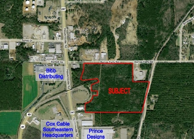
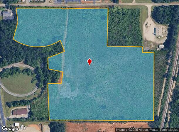
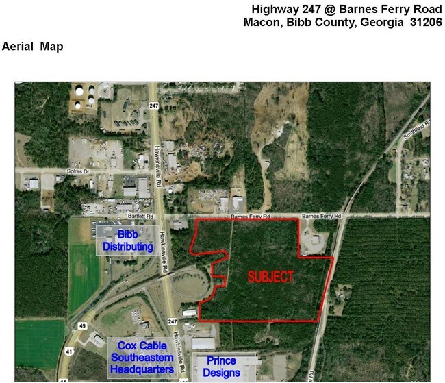
6500 Barnes Ferry Rd
Macon-Bibb County, GA
Eunice Holt Thomas And Thomas Property
P130-0020
Bibb
Governmentalpublicusegeneral
Georgia
X
210
13021C0235G
29.76 AC
0
Outlying Bibb County
2025
Atlanta
013505
DEMOGRAPHICS near 6500 Barnes Ferry Rd
1 Mile
3 Mile
5 Mile
2024 Total Population
897
9,790
26,570
2029 Population
907
9,754
26,653
Pop Growth 2024-2029
+ 1.11%
(0.37%)
+ 0.31%
Average Age
40
41
39
2024 Total Households
353
3,810
9,896
HH Growth 2024-2029
+ 1.13%
(0.39%)
+ 0.34%
Median Household Inc
$72,352
$67,846
$46,976
Avg Household Size
2.50
2.50
2.60
2024 Avg HH Vehicles
2.00
2.00
2.00
Median Home Value
$159,328
$182,009
$151,486
Median Year Built
1991
1992
1978
Nearby Places
Map Layers
Map Styles
 Street
 Aerial
- Restaurants
- Banks
- Shops
- Fitness
- Groceries
SALE & LEASE HISTORY
LISTING DATE
SALE/LEASE

Sep 24, 2016
For Sale
Sep 14, 2017
For Sale
Nearby Properties
Address
Land Use
TOTAL SIZE
Lot Size
Zoning
Address
Land Use
TOTAL SIZE
Lot Size
Zoning
616,986 SF
130.58 AC
M-2
Address
Land Use
TOTAL SIZE
Lot Size
Zoning
17,952 SF
1,075.78 AC
M-1
Address
Land Use
TOTAL SIZE
Lot Size
Zoning
983,943 SF
136.41 AC
M-2
Address
Land Use
TOTAL SIZE
Lot Size
Zoning
560,025 SF
79.35 AC
M-1
Address
Land Use
TOTAL SIZE
Lot Size
Zoning
235,345 SF
22.90 AC
M-1
Address
Land Use
TOTAL SIZE
Lot Size
Zoning
5,096 SF
17.65 AC
A
Address
Land Use
TOTAL SIZE
Lot Size
Zoning
13,596 SF
9.04 AC
R-3
Address
Land Use
TOTAL SIZE
Lot Size
Zoning
1,590 SF
10.52 AC
R-3
Address
Land Use
TOTAL SIZE
Lot Size
Zoning
100,000 SF
32.51 AC
M-2
Address
Land Use
TOTAL SIZE
Lot Size
Zoning
52,615 SF
16.38 AC
A
Address
Land Use
TOTAL SIZE
Lot Size
Zoning
6,776 SF
7.89 AC
C-2
Address
Land Use
TOTAL SIZE
Lot Size
Zoning
113,895 SF
10 AC
M-1
Address
Land Use
TOTAL SIZE
Lot Size
Zoning
30,568 SF
7.44 AC
A
Address
Land Use
TOTAL SIZE
Lot Size
Zoning
102,163 SF
10.02 AC
M-1
Address
Land Use
TOTAL SIZE
Lot Size
Zoning
213,621 SF
21.66 AC
M-1
Address
Land Use
TOTAL SIZE
Lot Size
Zoning
66,158 SF
22.57 AC
M-1
Address
Land Use
TOTAL SIZE
Lot Size
Zoning
152,300 SF
24.47 AC
M-1
Address
Land Use
TOTAL SIZE
Lot Size
Zoning
19,440 SF
28.87 AC
M-1
Address
Land Use
TOTAL SIZE
Lot Size
Zoning
324,570 SF
43.89 AC
M-1
Address
Land Use
TOTAL SIZE
Lot Size
Zoning
87,597 SF
10 AC
M-1
Address
Land Use
TOTAL SIZE
Lot Size
Zoning
200,100 SF
18.73 AC
M-2
Address
Land Use
TOTAL SIZE
Lot Size
Zoning
48,108 SF
6.58 AC
C-2
Address
Land Use
TOTAL SIZE
Lot Size
Zoning
99.99 AC
M-2
Address
Land Use
TOTAL SIZE
Lot Size
Zoning
104,627 SF
12.74 AC
M-1
Address
Land Use
TOTAL SIZE
Lot Size
Zoning
52,850 SF
22.73 AC
M-2
Address
Land Use
TOTAL SIZE
Lot Size
Zoning
50,682 SF
11.78 AC
M-1
Address
Land Use
TOTAL SIZE
Lot Size
Zoning
199,348 SF
10.52 AC
M-1
Address
Land Use
TOTAL SIZE
Lot Size
Zoning
11,322 SF
8.82 AC
R-1AAA
Address
Land Use
TOTAL SIZE
Lot Size
Zoning
224,044 SF
15.11 AC
M-1
Address
Land Use
TOTAL SIZE
Lot Size
Zoning
58,750 SF
7.14 AC
M-1
The World's #1 Commercial Real Estate Marketplace
Connect with us
© 2025 CoStar Group
The information above has been obtained from sources believed reliable. While we do not doubt its accuracy we have not verified it and make no guarantee, warranty or representation about it. It is your responsibility to independently confirm its accuracy and completeness. Any projections, opinions, assumptions, or estimates used are for example only and do not represent the current or future performance of the property. The value of this transaction to you depends on tax and other factors which should be evaluated by your tax, financial, and legal advisors. You and your advisors should conduct a careful, independent investigation of the property to determine to your satisfaction the suitability of the property for your needs.