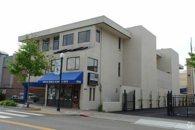
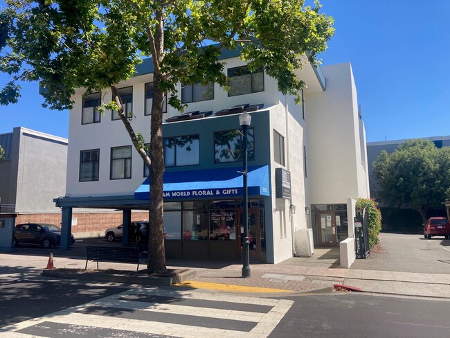
Property Record
6500 Fairmount Ave, El Cerrito, CA 94530

Current Lease Availabilities
Property Detail
6500 Fairmount Ave
504-160-025-4
RO SAN PABLO POR LOT 10
Medicalbuilding
CONTRA COSTA
C2
California
B and X Area of moderate flood hazard, usually the area between the limits of the 100-year and 500-year floods.
10
2025
0.27 AC
2025
Richmond/San Pablo
389100
East Bay/Oakland
12,004 SF
Oakland-Fremont-Berkeley, CA
NEARBY LISTINGS FOR SALE OR LEASE
DEMOGRAPHICS near 6500 Fairmount Ave
1 mile
3 mile
5 mile
2025 Total Population
28,386
148,993
343,054
2030 Population
28,462
149,534
344,312
Pop Growth 2025-2030
+ 0.27%
+ 0.36%
+ 0.37%
Average Age
43
42
40
2025 Total Households
11,345
59,234
128,495
HH Growth 2025-2030
+ 0.23%
+ 0.37%
+ 0.41%
Median Household Inc
$129,159
$116,995
$106,448
Avg Household Size
2.50
2.40
2.50
2025 Avg HH Vehicles
2.00
2.00
2.00
Median Home Value
$1,037,876
$1,059,687
$997,013
Median Year Built
1950
1954
1955
Nearby Places
Map Layers
Map Styles
 Street
 Aerial
Transit
 Traffic
 Biking
Places
Listings with unknown addresses are not visible on the map
- Restaurants
- Banks
- Shops
- Fitness
- Groceries
PUBLIC TRANSPORTATION
TRANSIT/SUBWAY
El Cerrito Plaza Station (Fremont - Richmond - Bay Area Rapid Transit (BART), Richmond - Millbrae - Bay Area Rapid Transit (BART))
Drive
Walk
Distance
El Cerrito Plaza Station (Fremont - Richmond - Bay Area Rapid Transit (BART), Richmond - Millbrae - Bay Area Rapid Transit (BART))
1 min
4 min
0.2 mi
COMMUTER RAIL
Drive
Walk
Distance
6 min
3.5 mi
Drive
Walk
Distance
9 min
4.7 mi
AIRPORT
Metro Oakland International
Drive
Walk
Distance
Metro Oakland International
27 min
18.4 mi
San Francisco International
Drive
Walk
Distance
San Francisco International
39 min
26.0 mi
Nearby Properties
Address
Land Use
TOTAL SIZE
Lot Size
Zoning
Address
Land Use
TOTAL SIZE
Lot Size
Zoning
820,000 SF
6.36 AC
Address
Land Use
TOTAL SIZE
Lot Size
Zoning
167,071 SF
0.70 AC
Address
Land Use
TOTAL SIZE
Lot Size
Zoning
395,549 SF
17.05 AC
Address
Land Use
TOTAL SIZE
Lot Size
Zoning
4.77 AC
Address
Land Use
TOTAL SIZE
Lot Size
Zoning
309,451 SF
0.87 AC
Address
Land Use
TOTAL SIZE
Lot Size
Zoning
123,750 SF
0.81 AC
Address
Land Use
TOTAL SIZE
Lot Size
Zoning
254,000 SF
1.71 AC
Address
Land Use
TOTAL SIZE
Lot Size
Zoning
166,731 SF
0.54 AC
Address
Land Use
TOTAL SIZE
Lot Size
Zoning
159,705 SF
1.64 AC
COMM
Address
Land Use
TOTAL SIZE
Lot Size
Zoning
12.31 AC
Address
Land Use
TOTAL SIZE
Lot Size
Zoning
0.61 AC
Address
Land Use
TOTAL SIZE
Lot Size
Zoning
3.61 AC
Address
Land Use
TOTAL SIZE
Lot Size
Zoning
67,558 SF
0.32 AC
Address
Land Use
TOTAL SIZE
Lot Size
Zoning
202,811 SF
10.98 AC
Address
Land Use
TOTAL SIZE
Lot Size
Zoning
63,982 SF
0.44 AC
Address
Land Use
TOTAL SIZE
Lot Size
Zoning
75,558 SF
0.52 AC
Address
Land Use
TOTAL SIZE
Lot Size
Zoning
66,235 SF
0.46 AC
Address
Land Use
TOTAL SIZE
Lot Size
Zoning
108,048 SF
1 AC
Address
Land Use
TOTAL SIZE
Lot Size
Zoning
191,800 SF
1.09 AC
Address
Land Use
TOTAL SIZE
Lot Size
Zoning
81,149 SF
1.87 AC
Address
Land Use
TOTAL SIZE
Lot Size
Zoning
83,538 SF
0.60 AC
Address
Land Use
TOTAL SIZE
Lot Size
Zoning
139,929 SF
0.51 AC
Address
Land Use
TOTAL SIZE
Lot Size
Zoning
124,257 SF
2.72 AC
Address
Land Use
TOTAL SIZE
Lot Size
Zoning
47,575 SF
1.79 AC
Address
Land Use
TOTAL SIZE
Lot Size
Zoning
3,600 SF
0.28 AC
Address
Land Use
TOTAL SIZE
Lot Size
Zoning
81,352 SF
5.06 AC
C2
Address
Land Use
TOTAL SIZE
Lot Size
Zoning
71,774 SF
12.66 AC
Address
Land Use
TOTAL SIZE
Lot Size
Zoning
162,660 SF
9.09 AC
Address
Land Use
TOTAL SIZE
Lot Size
Zoning
404,098 SF
24.03 AC
MSL1RD
Address
Land Use
TOTAL SIZE
Lot Size
Zoning
54,728 SF
0.96 AC
The World's #1 Commercial Real Estate Marketplace
Connect with us
© 2026 CoStar Group
The information above has been obtained from sources believed reliable. While we do not doubt its accuracy we have not verified it and make no guarantee, warranty or representation about it. It is your responsibility to independently confirm its accuracy and completeness. Any projections, opinions, assumptions, or estimates used are for example only and do not represent the current or future performance of the property. The value of this transaction to you depends on tax and other factors which should be evaluated by your tax, financial, and legal advisors. You and your advisors should conduct a careful, independent investigation of the property to determine to your satisfaction the suitability of the property for your needs.