Property Record
6501 Brittany St, Fort Collins, CO 80525

Property Detail
6501 Brittany St
96124-37-901
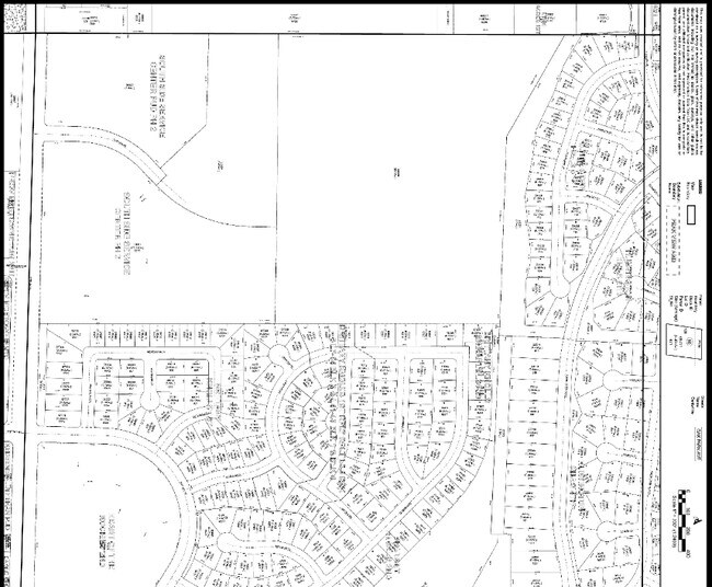
LOT 1, BLOCK 2, HEART OF THE ROCKIES 4TH SUB, FTC (20240020694)
Religious
Larimer
LMN
Colorado
B and X Area of moderate flood hazard, usually the area between the limits of the 100-year and 500-year floods.
1
0
2.69 AC
2025
Fort Collins/Loveland
001009
Denver
9,080 SF
Fort Collins-Loveland, CO
NEARBY LISTINGS FOR SALE OR LEASE
-
-
View all Fort Collins listings for sale on LoopNet.com
DEMOGRAPHICS near 6501 Brittany St
1 mile
3 mile
5 mile
2025 Total Population
8,068
48,845
137,529
2030 Population
8,310
50,247
141,528
Pop Growth 2025-2030
+ 3.00%
+ 2.87%
+ 2.91%
Average Age
41
40
40
2025 Total Households
3,091
19,387
55,827
HH Growth 2025-2030
+ 3.14%
+ 3.10%
+ 3.07%
Median Household Inc
$125,075
$109,583
$96,187
Avg Household Size
2.60
2.50
2.40
2025 Avg HH Vehicles
2.00
2.00
2.00
Median Home Value
$648,454
$660,439
$619,313
Median Year Built
1998
1998
1995
Nearby Places
Map Layers
Map Styles
 Street
 Aerial
Transit
 Traffic
 Biking
Places
Listings with unknown addresses are not visible on the map
- Restaurants
- Banks
- Shops
- Fitness
- Groceries
Nearby Properties
Address
Land Use
TOTAL SIZE
Lot Size
Zoning
Address
Land Use
TOTAL SIZE
Lot Size
Zoning
235,094 SF
20.06 AC
HC
Address
Land Use
TOTAL SIZE
Lot Size
Zoning
211,711 SF
19.22 AC
HC
Address
Land Use
TOTAL SIZE
Lot Size
Zoning
215,240 SF
29.22 AC
RL
Address
Land Use
TOTAL SIZE
Lot Size
Zoning
222,592 SF
21.69 AC
HC
Address
Land Use
TOTAL SIZE
Lot Size
Zoning
137,014 SF
13.64 AC
HC
Address
Land Use
TOTAL SIZE
Lot Size
Zoning
190,617 SF
10.30 AC
HC
Address
Land Use
TOTAL SIZE
Lot Size
Zoning
199,464 SF
29.36 AC
HC
Address
Land Use
TOTAL SIZE
Lot Size
Zoning
115,260 SF
9.08 AC
HC
Address
Land Use
TOTAL SIZE
Lot Size
Zoning
222,636 SF
26.89 AC
P65
Address
Land Use
TOTAL SIZE
Lot Size
Zoning
42,205 SF
11.50 AC
Address
Land Use
TOTAL SIZE
Lot Size
Zoning
109,911 SF
6.74 AC
Address
Land Use
TOTAL SIZE
Lot Size
Zoning
177,171 SF
13.28 AC
HC
Address
Land Use
TOTAL SIZE
Lot Size
Zoning
363,533 SF
13.39 AC
Address
Land Use
TOTAL SIZE
Lot Size
Zoning
117,157 SF
117.61 AC
Address
Land Use
TOTAL SIZE
Lot Size
Zoning
262,972 SF
15.57 AC
LMN
Address
Land Use
TOTAL SIZE
Lot Size
Zoning
106,845 SF
4.65 AC
Address
Land Use
TOTAL SIZE
Lot Size
Zoning
38,592 SF
20.06 AC
HC
Address
Land Use
TOTAL SIZE
Lot Size
Zoning
105,514 SF
9.55 AC
HC
Address
Land Use
TOTAL SIZE
Lot Size
Zoning
34,094 SF
Address
Land Use
TOTAL SIZE
Lot Size
Zoning
75,197 SF
6.51 AC
C
Address
Land Use
TOTAL SIZE
Lot Size
Zoning
322,880 SF
12.40 AC
HC
Address
Land Use
TOTAL SIZE
Lot Size
Zoning
61,604 SF
9.39 AC
Address
Land Use
TOTAL SIZE
Lot Size
Zoning
55,831 SF
6.69 AC
Address
Land Use
TOTAL SIZE
Lot Size
Zoning
129,570 SF
11.95 AC
HC
Address
Land Use
TOTAL SIZE
Lot Size
Zoning
193,385 SF
12.97 AC
MMN
Address
Land Use
TOTAL SIZE
Lot Size
Zoning
92,130 SF
5 AC
Address
Land Use
TOTAL SIZE
Lot Size
Zoning
58,903 SF
6.24 AC
HC
Address
Land Use
TOTAL SIZE
Lot Size
Zoning
84,655 SF
6.39 AC
C
Address
Land Use
TOTAL SIZE
Lot Size
Zoning
100,339 SF
8.24 AC
HC
The World's #1 Commercial Real Estate Marketplace
Connect with us
© 2026 CoStar Group
The information above has been obtained from sources believed reliable. While we do not doubt its accuracy we have not verified it and make no guarantee, warranty or representation about it. It is your responsibility to independently confirm its accuracy and completeness. Any projections, opinions, assumptions, or estimates used are for example only and do not represent the current or future performance of the property. The value of this transaction to you depends on tax and other factors which should be evaluated by your tax, financial, and legal advisors. You and your advisors should conduct a careful, independent investigation of the property to determine to your satisfaction the suitability of the property for your needs.