Property Record
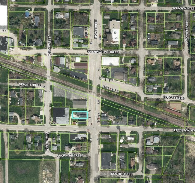
6521 Main St, Union, IL 60180
Property Detail
6521 Main St
Chicago-Naperville-Elgin, IL-IN
NORTH 18 FT OF W 20 FT OF LOT 2 & W 20 FT OF LOT 3
17-04-192-011
McHenry
Commercialnec
Illinois
B and X Area of moderate flood hazard, usually the area between the limits of the 100-year and 500-year floods.
2,3
2024
0.13 AC
2024
Far Northwest
871502
Chicago
NEARBY LISTINGS FOR SALE OR LEASE
-
-
View all Union listings for lease on LoopNet.com
DEMOGRAPHICS near 6521 Main St
1 mile
3 mile
5 mile
2025 Total Population
751
3,524
14,285
2030 Population
773
3,644
14,668
Pop Growth 2025-2030
+ 2.93%
+ 3.41%
+ 2.68%
Average Age
42
42
42
2025 Total Households
290
1,348
5,398
HH Growth 2025-2030
+ 3.10%
+ 3.56%
+ 2.70%
Median Household Inc
$93,452
$105,407
$97,116
Avg Household Size
2.60
2.60
2.60
2025 Avg HH Vehicles
2.00
2.00
2.00
Median Home Value
$245,925
$272,898
$293,655
Median Year Built
1974
1978
1985
Nearby Places
Map Layers
Map Styles
 Street
 Aerial
Transit
 Traffic
 Biking
Places
Listings with unknown addresses are not visible on the map
- Restaurants
- Banks
- Shops
- Fitness
- Groceries
PUBLIC TRANSPORTATION
AIRPORT
Chicago/Rockford International
Drive
Walk
Distance
Chicago/Rockford International
55 min
34.0 mi
Chicago O'Hare International
Drive
Walk
Distance
Chicago O'Hare International
75 min
47.2 mi
SALE & LEASE HISTORY
LISTING DATE
SALE/LEASE

May 03, 2018
For Lease
Nearby Properties
Address
Land Use
TOTAL SIZE
Lot Size
Zoning
Address
Land Use
TOTAL SIZE
Lot Size
Zoning
Address
Land Use
TOTAL SIZE
Lot Size
Zoning
207,191 SF
10.40 AC
Address
Land Use
TOTAL SIZE
Lot Size
Zoning
3.98 AC
Address
Land Use
TOTAL SIZE
Lot Size
Zoning
38.88 AC
Address
Land Use
TOTAL SIZE
Lot Size
Zoning
Address
Land Use
TOTAL SIZE
Lot Size
Zoning
14.46 AC
Address
Land Use
TOTAL SIZE
Lot Size
Zoning
3.32 AC
Address
Land Use
TOTAL SIZE
Lot Size
Zoning
3.18 AC
Address
Land Use
TOTAL SIZE
Lot Size
Zoning
1.58 AC
Address
Land Use
TOTAL SIZE
Lot Size
Zoning
23,544 SF
14.29 AC
Address
Land Use
TOTAL SIZE
Lot Size
Zoning
9.45 AC
Address
Land Use
TOTAL SIZE
Lot Size
Zoning
3.52 AC
Address
Land Use
TOTAL SIZE
Lot Size
Zoning
1.36 AC
Address
Land Use
TOTAL SIZE
Lot Size
Zoning
0.96 AC
Address
Land Use
TOTAL SIZE
Lot Size
Zoning
1.31 AC
Address
Land Use
TOTAL SIZE
Lot Size
Zoning
5.58 AC
Address
Land Use
TOTAL SIZE
Lot Size
Zoning
Address
Land Use
TOTAL SIZE
Lot Size
Zoning
1.81 AC
Address
Land Use
TOTAL SIZE
Lot Size
Zoning
0.81 AC
Address
Land Use
TOTAL SIZE
Lot Size
Zoning
19,470 SF
1.52 AC
Address
Land Use
TOTAL SIZE
Lot Size
Zoning
11.99 AC
Address
Land Use
TOTAL SIZE
Lot Size
Zoning
Address
Land Use
TOTAL SIZE
Lot Size
Zoning
5.40 AC
Address
Land Use
TOTAL SIZE
Lot Size
Zoning
1.02 AC
Address
Land Use
TOTAL SIZE
Lot Size
Zoning
0.75 AC
Address
Land Use
TOTAL SIZE
Lot Size
Zoning
4.91 AC
Address
Land Use
TOTAL SIZE
Lot Size
Zoning
24,602 SF
1.36 AC
Address
Land Use
TOTAL SIZE
Lot Size
Zoning
1.21 AC
Address
Land Use
TOTAL SIZE
Lot Size
Zoning
6,590 SF
0.47 AC
Address
Land Use
TOTAL SIZE
Lot Size
Zoning
4,841 SF
5.30 AC
The World's #1 Commercial Real Estate Marketplace
Connect with us
© 2026 CoStar Group
The information above has been obtained from sources believed reliable. While we do not doubt its accuracy we have not verified it and make no guarantee, warranty or representation about it. It is your responsibility to independently confirm its accuracy and completeness. Any projections, opinions, assumptions, or estimates used are for example only and do not represent the current or future performance of the property. The value of this transaction to you depends on tax and other factors which should be evaluated by your tax, financial, and legal advisors. You and your advisors should conduct a careful, independent investigation of the property to determine to your satisfaction the suitability of the property for your needs.