Property Record
6532 Judge Adams Rd, Whitsett, NC 27377

NEARBY LISTINGS FOR SALE OR LEASE
Property Detail
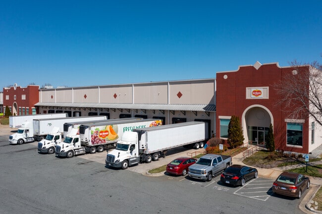
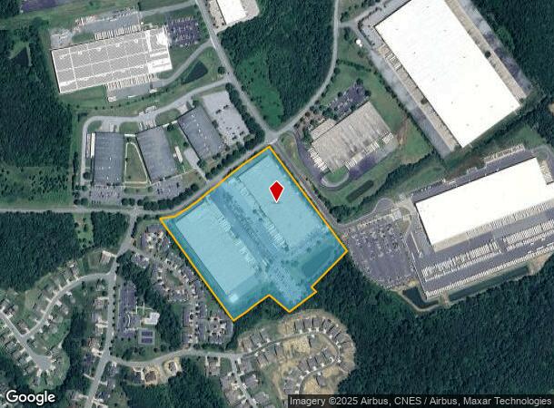
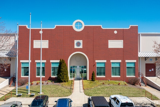
6532 Judge Adams Rd
Greensboro-High Point, NC
Boulders Distribution Center R
0106985
19.67AC 1A PB 126-14 BOULDERS PL:126-14
Industrialgeneral
Guilford
X
North Carolina
3710882300J
6
2024
19.67 AC
2025
SE Guilford County
017200
Greensboro/Winston-Salem
300,464 SF
DEMOGRAPHICS near 6532 Judge Adams Rd
1 Mile
3 Mile
5 Mile
2024 Total Population
1,603
13,812
34,882
2029 Population
1,602
13,956
36,199
Pop Growth 2024-2029
(0.06%)
+ 1.04%
+ 3.78%
Average Age
41
39
41
2024 Total Households
649
5,443
14,148
HH Growth 2024-2029
(0.15%)
+ 0.92%
+ 3.94%
Median Household Inc
$78,977
$80,101
$77,545
Avg Household Size
2.50
2.50
2.40
2024 Avg HH Vehicles
3.00
2.00
2.00
Median Home Value
$222,011
$233,333
$239,906
Median Year Built
1998
2003
2002
Nearby Places
Map Layers
Map Styles
 Street
 Aerial
- Restaurants
- Banks
- Shops
- Fitness
- Groceries
PUBLIC TRANSPORTATION
AIRPORT
Piedmont Triad International
DRIVE
WALK
Distance
Piedmont Triad International
39 min
23.5 mi
SALE & LEASE HISTORY
LISTING DATE
SALE/LEASE

Nov 02, 2023
For Lease
Dec 10, 2020
For Lease
Aug 17, 2021
For Lease
Nearby Properties
Address
Land Use
TOTAL SIZE
Lot Size
Zoning
Address
Land Use
TOTAL SIZE
Lot Size
Zoning
495,280 SF
105.18 AC
LI
Address
Land Use
TOTAL SIZE
Lot Size
Zoning
531,300 SF
29.40 AC
LI
Address
Land Use
TOTAL SIZE
Lot Size
Zoning
297,670 SF
37.41 AC
LI
Address
Land Use
TOTAL SIZE
Lot Size
Zoning
475,200 SF
46.54 AC
LI
Address
Land Use
TOTAL SIZE
Lot Size
Zoning
93,763 SF
33.51 AC
LI
Address
Land Use
TOTAL SIZE
Lot Size
Zoning
399,195 SF
24.84 AC
RM-12
Address
Land Use
TOTAL SIZE
Lot Size
Zoning
298,682 SF
21.54 AC
CR
Address
Land Use
TOTAL SIZE
Lot Size
Zoning
257,796 SF
17.91 AC
CU-HI
Address
Land Use
TOTAL SIZE
Lot Size
Zoning
235,503 SF
38.75 AC
LI
Address
Land Use
TOTAL SIZE
Lot Size
Zoning
246,317 SF
18.72 AC
PD-R
Address
Land Use
TOTAL SIZE
Lot Size
Zoning
260,000 SF
20.35 AC
LI
Address
Land Use
TOTAL SIZE
Lot Size
Zoning
240,155 SF
21.72 AC
LI
Address
Land Use
TOTAL SIZE
Lot Size
Zoning
162,161 SF
19.18 AC
RM-8
Address
Land Use
TOTAL SIZE
Lot Size
Zoning
271,850 SF
25.24 AC
LI
Address
Land Use
TOTAL SIZE
Lot Size
Zoning
215,233 SF
18.98 AC
LI
Address
Land Use
TOTAL SIZE
Lot Size
Zoning
92,497 SF
22.35 AC
LI
Address
Land Use
TOTAL SIZE
Lot Size
Zoning
57,829 SF
2.65 AC
LI
Address
Land Use
TOTAL SIZE
Lot Size
Zoning
158,080 SF
16.35 AC
LI
Address
Land Use
TOTAL SIZE
Lot Size
Zoning
90,000 SF
8.95 AC
LI
Address
Land Use
TOTAL SIZE
Lot Size
Zoning
37,100 SF
3.53 AC
HB
Address
Land Use
TOTAL SIZE
Lot Size
Zoning
218,126 SF
22.41 AC
LI
Address
Land Use
TOTAL SIZE
Lot Size
Zoning
136,934 SF
14.80 AC
LI
Address
Land Use
TOTAL SIZE
Lot Size
Zoning
59,235 SF
37.46 AC
LI
Address
Land Use
TOTAL SIZE
Lot Size
Zoning
112,837 SF
15.22 AC
LI
Address
Land Use
TOTAL SIZE
Lot Size
Zoning
109,962 SF
15 AC
LI
Address
Land Use
TOTAL SIZE
Lot Size
Zoning
58,144 SF
10.84 AC
CD-SC
Address
Land Use
TOTAL SIZE
Lot Size
Zoning
45,878 SF
1.68 AC
LI
Address
Land Use
TOTAL SIZE
Lot Size
Zoning
74.82 AC
LI
Address
Land Use
TOTAL SIZE
Lot Size
Zoning
69,910 SF
40.06 AC
PI
The World's #1 Commercial Real Estate Marketplace
Connect with us
© 2026 CoStar Group
The information above has been obtained from sources believed reliable. While we do not doubt its accuracy we have not verified it and make no guarantee, warranty or representation about it. It is your responsibility to independently confirm its accuracy and completeness. Any projections, opinions, assumptions, or estimates used are for example only and do not represent the current or future performance of the property. The value of this transaction to you depends on tax and other factors which should be evaluated by your tax, financial, and legal advisors. You and your advisors should conduct a careful, independent investigation of the property to determine to your satisfaction the suitability of the property for your needs.