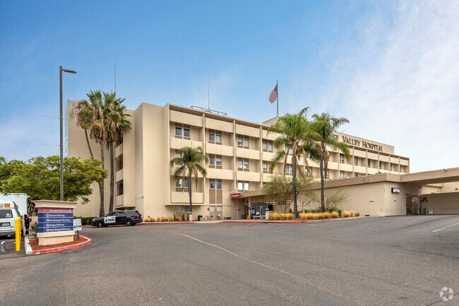
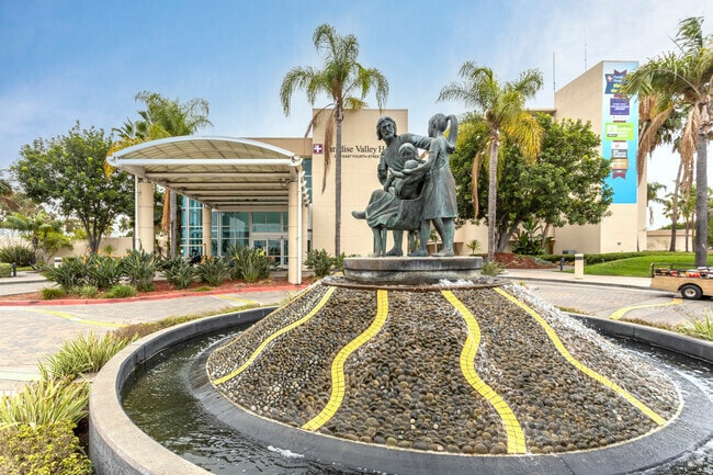
Property Record
2400 E 4Th St, National City, CA 91950
NEARBY LISTINGS FOR SALE OR LEASE
-
-
View all National City listings for sale on LoopNet.com
Property Detail
2400 E 4Th St
554-120-27
Rancho De La Nacion
Hospitalpublic
QSEC 105 8.79 AC M/L IN TR 000166
X
San Diego
06073C1912G
California
2024
8.79 AC
2025
National City
011902
San Diego
70,000 SF
San Diego-Carlsbad, CA
DEMOGRAPHICS near 2400 E 4Th St
1 Mile
3 Mile
5 Mile
2024 Total Population
35,895
218,800
525,750
2029 Population
35,574
216,665
521,100
Pop Growth 2024-2029
(0.89%)
(0.98%)
(0.88%)
Average Age
39
37
38
2024 Total Households
10,136
61,584
169,557
HH Growth 2024-2029
(1.10%)
(1.18%)
(0.92%)
Median Household Inc
$62,556
$65,616
$67,912
Avg Household Size
3.40
3.30
2.90
2024 Avg HH Vehicles
2.00
2.00
2.00
Median Home Value
$525,428
$538,544
$615,380
Median Year Built
1968
1969
1970
Nearby Places
- Restaurants
- Banks
- Shops
- Fitness
- Groceries
PUBLIC TRANSPORTATION
COMMUTER RAIL
San Diego (Santa Fe Depot) (Coaster - San Diego North County Transit District (Coaster/Sprinter/Breeze))
DRIVE
WALK
Distance
San Diego (Santa Fe Depot) (Coaster - San Diego North County Transit District (Coaster/Sprinter/Breeze))
13 min
7.1 mi
AIRPORT
San Diego International
DRIVE
WALK
Distance
San Diego International
16 min
9.6 mi
Nearby Properties
Address
Land Use
TOTAL SIZE
Lot Size
Zoning
Address
Land Use
TOTAL SIZE
Lot Size
Zoning
6.55 AC
MXD-2
Address
Land Use
TOTAL SIZE
Lot Size
Zoning
15.72 AC
RM-2-5
Address
Land Use
TOTAL SIZE
Lot Size
Zoning
115.70 AC
Marine Ter
Address
Land Use
TOTAL SIZE
Lot Size
Zoning
12.19 AC
RM-2
Address
Land Use
TOTAL SIZE
Lot Size
Zoning
8.99 AC
IL-2-1
Address
Land Use
TOTAL SIZE
Lot Size
Zoning
10.92 AC
RM-2-5
Address
Land Use
TOTAL SIZE
Lot Size
Zoning
9.62 AC
MXD-2
Address
Land Use
TOTAL SIZE
Lot Size
Zoning
10.43 AC
RM-2
Address
Land Use
TOTAL SIZE
Lot Size
Zoning
9.84 AC
C
Address
Land Use
TOTAL SIZE
Lot Size
Zoning
24.06 AC
R3
Address
Land Use
TOTAL SIZE
Lot Size
Zoning
7.52 AC
MCR-2
Address
Land Use
TOTAL SIZE
Lot Size
Zoning
6.85 AC
IL
Address
Land Use
TOTAL SIZE
Lot Size
Zoning
6.07 AC
MXD-1
Address
Land Use
TOTAL SIZE
Lot Size
Zoning
4.80 AC
MXD-2
Address
Land Use
TOTAL SIZE
Lot Size
Zoning
Address
Land Use
TOTAL SIZE
Lot Size
Zoning
4.12 AC
RM-2-5
Address
Land Use
TOTAL SIZE
Lot Size
Zoning
Address
Land Use
TOTAL SIZE
Lot Size
Zoning
0.68 AC
MXU
Address
Land Use
TOTAL SIZE
Lot Size
Zoning
3,274 SF
8.58 AC
RM-2-5
Address
Land Use
TOTAL SIZE
Lot Size
Zoning
86,920 SF
2.38 AC
RM-2
Address
Land Use
TOTAL SIZE
Lot Size
Zoning
2.24 AC
MXD-2
Address
Land Use
TOTAL SIZE
Lot Size
Zoning
0.89 AC
MXU
Address
Land Use
TOTAL SIZE
Lot Size
Zoning
4.42 AC
MM
Address
Land Use
TOTAL SIZE
Lot Size
Zoning
13.87 AC
MXD-2
Address
Land Use
TOTAL SIZE
Lot Size
Zoning
91,326 SF
2.42 AC
CCP
Address
Land Use
TOTAL SIZE
Lot Size
Zoning
76,798 SF
7.21 AC
I
Address
Land Use
TOTAL SIZE
Lot Size
Zoning
32,670 SF
0.75 AC
V-1
Address
Land Use
TOTAL SIZE
Lot Size
Zoning
9,764 SF
20.67 AC
Marine Ter
Address
Land Use
TOTAL SIZE
Lot Size
Zoning
Address
Land Use
TOTAL SIZE
Lot Size
Zoning
69,408 SF
2.26 AC
R3D
The World's #1 Commercial Real Estate Marketplace
Connect with us
© 2025 CoStar Group
The information above has been obtained from sources believed reliable. While we do not doubt its accuracy we have not verified it and make no guarantee, warranty or representation about it. It is your responsibility to independently confirm its accuracy and completeness. Any projections, opinions, assumptions, or estimates used are for example only and do not represent the current or future performance of the property. The value of this transaction to you depends on tax and other factors which should be evaluated by your tax, financial, and legal advisors. You and your advisors should conduct a careful, independent investigation of the property to determine to your satisfaction the suitability of the property for your needs.