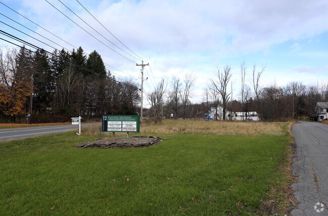
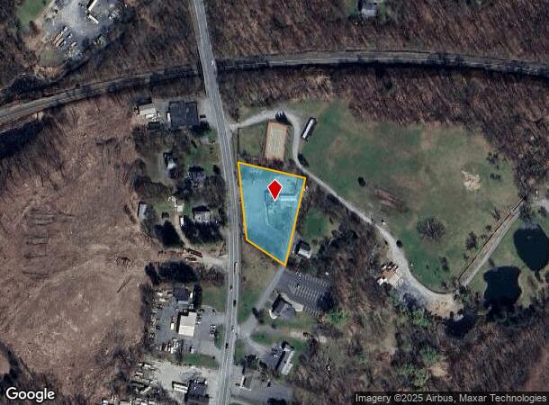
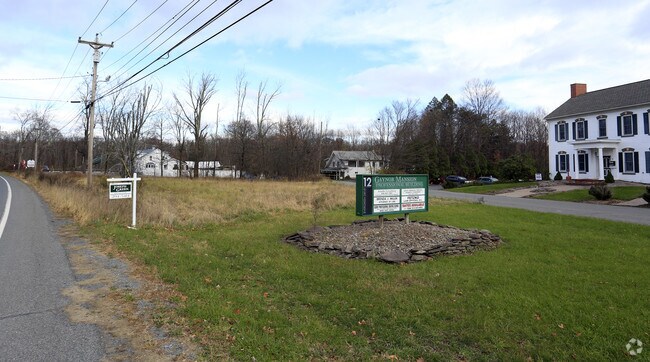
Property Record
655 Route 17M, Middletown, NY 10940
NEARBY LISTINGS FOR SALE OR LEASE
Property Detail
655 Route 17M
335200-036-000-0002-054.000-0000
U/D/T 11/02/90 F/B/O RICHARD A ZOGHBY FAMILY
Commercialnec
Orange
X
New York
36071C0256E
54.00
2024
1.10 AC
2024
Middletown
011301
Northern New Jersey
2,138 SF
New York-Jersey City-White Plains, NY-NJ
DEMOGRAPHICS near 655 Route 17M
1 Mile
3 Mile
5 Mile
2024 Total Population
3,366
44,244
65,381
2029 Population
3,413
44,962
66,606
Pop Growth 2024-2029
+ 1.40%
+ 1.62%
+ 1.87%
Average Age
41
39
39
2024 Total Households
1,201
16,026
24,135
HH Growth 2024-2029
+ 1.42%
+ 1.73%
+ 2.03%
Median Household Inc
$84,968
$75,156
$79,540
Avg Household Size
2.60
2.60
2.60
2024 Avg HH Vehicles
2.00
2.00
2.00
Median Home Value
$318,391
$256,138
$267,386
Median Year Built
1975
1970
1975
Nearby Places
Map Layers
Map Styles
 Street
 Aerial
- Restaurants
- Banks
- Shops
- Fitness
- Groceries
PUBLIC TRANSPORTATION
COMMUTER RAIL
Middletown New York (Bergen County/Port Jervis Line - NJ Transit Commuter Rail (NJ Transit), Main/Port Jervis Line - NJ Transit Commuter Rail (NJ Transit))
DRIVE
WALK
Distance
Middletown New York (Bergen County/Port Jervis Line - NJ Transit Commuter Rail (NJ Transit), Main/Port Jervis Line - NJ Transit Commuter Rail (NJ Transit))
9 min
4.2 mi
Otisville (Bergen County/Port Jervis Line - NJ Transit Commuter Rail (NJ Transit), Main/Port Jervis Line - NJ Transit Commuter Rail (NJ Transit))
DRIVE
WALK
Distance
Otisville (Bergen County/Port Jervis Line - NJ Transit Commuter Rail (NJ Transit), Main/Port Jervis Line - NJ Transit Commuter Rail (NJ Transit))
14 min
9.3 mi
AIRPORT
New York Stewart International
DRIVE
WALK
Distance
New York Stewart International
32 min
23.2 mi
Freight Ports
Port Newark Container Terminal
DRIVE
WALK
Distance
Port Newark Container Terminal
96 min
74.5 mi
Nearby Properties
Address
Land Use
TOTAL SIZE
Lot Size
Zoning
Address
Land Use
TOTAL SIZE
Lot Size
Zoning
Address
Land Use
TOTAL SIZE
Lot Size
Zoning
180,840 SF
37.50 AC
TC
Address
Land Use
TOTAL SIZE
Lot Size
Zoning
24.40 AC
R-1
Address
Land Use
TOTAL SIZE
Lot Size
Zoning
17.60 AC
R-1
Address
Land Use
TOTAL SIZE
Lot Size
Zoning
Address
Land Use
TOTAL SIZE
Lot Size
Zoning
142,416 SF
13.90 AC
R1
Address
Land Use
TOTAL SIZE
Lot Size
Zoning
289,910 SF
19.90 AC
TC
Address
Land Use
TOTAL SIZE
Lot Size
Zoning
5,753 SF
18 AC
TC
Address
Land Use
TOTAL SIZE
Lot Size
Zoning
208,464 SF
24.90 AC
HC
Address
Land Use
TOTAL SIZE
Lot Size
Zoning
141,454 SF
12 AC
TC
Address
Land Use
TOTAL SIZE
Lot Size
Zoning
83,832 SF
4.20 AC
TC
Address
Land Use
TOTAL SIZE
Lot Size
Zoning
96,231 SF
14.80 AC
HC
Address
Land Use
TOTAL SIZE
Lot Size
Zoning
71,031 SF
7.30 AC
TC
Address
Land Use
TOTAL SIZE
Lot Size
Zoning
87,090 SF
4.50 AC
TC
Address
Land Use
TOTAL SIZE
Lot Size
Zoning
123,336 SF
6.30 AC
TC
Address
Land Use
TOTAL SIZE
Lot Size
Zoning
312,196 SF
18.60 AC
ENT-L
Address
Land Use
TOTAL SIZE
Lot Size
Zoning
59,736 SF
6.10 AC
TC
Address
Land Use
TOTAL SIZE
Lot Size
Zoning
128,218 SF
3.03 AC
TC
Address
Land Use
TOTAL SIZE
Lot Size
Zoning
91,794 SF
7.70 AC
R1
Address
Land Use
TOTAL SIZE
Lot Size
Zoning
17,536 SF
5.40 AC
HC
Address
Land Use
TOTAL SIZE
Lot Size
Zoning
12.60 AC
R-1
Address
Land Use
TOTAL SIZE
Lot Size
Zoning
47,152 SF
6 AC
TC
Address
Land Use
TOTAL SIZE
Lot Size
Zoning
55,972 SF
0.85 AC
DN
Address
Land Use
TOTAL SIZE
Lot Size
Zoning
14.10 AC
PID
Address
Land Use
TOTAL SIZE
Lot Size
Zoning
161,328 SF
20 AC
R1
Address
Land Use
TOTAL SIZE
Lot Size
Zoning
4,896 SF
11.90 AC
R2
Address
Land Use
TOTAL SIZE
Lot Size
Zoning
102,676 SF
6.10 AC
TC
Address
Land Use
TOTAL SIZE
Lot Size
Zoning
161,652 SF
16 AC
TC
Address
Land Use
TOTAL SIZE
Lot Size
Zoning
85,895 SF
31.80 AC
R1
Address
Land Use
TOTAL SIZE
Lot Size
Zoning
161,896 SF
10.40 AC
ENT-L
The World's #1 Commercial Real Estate Marketplace
Connect with us
© 2025 CoStar Group
The information above has been obtained from sources believed reliable. While we do not doubt its accuracy we have not verified it and make no guarantee, warranty or representation about it. It is your responsibility to independently confirm its accuracy and completeness. Any projections, opinions, assumptions, or estimates used are for example only and do not represent the current or future performance of the property. The value of this transaction to you depends on tax and other factors which should be evaluated by your tax, financial, and legal advisors. You and your advisors should conduct a careful, independent investigation of the property to determine to your satisfaction the suitability of the property for your needs.