Property Record
6568 Us Highway 70 E, La Grange, NC 28551
NEARBY LISTINGS FOR SALE OR LEASE
-
-
View all La Grange listings for sale on LoopNet.com
Property Detail
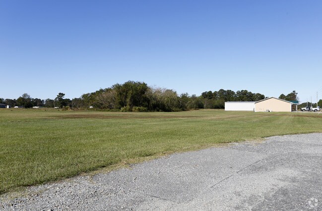
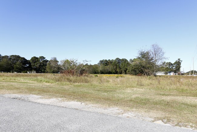
6568 Us Highway 70 E
Goldsboro, NC
James Howard Wilson And Wife Gertude M W
3546894381
Wayne
Warehouse
North Carolina
X
9.11 AC
3720354600K
North Carolina Southeast Area
40,078 SF
Other Market Areas
DEMOGRAPHICS near 6568 Us Highway 70 E
1 Mile
3 Mile
5 Mile
2024 Total Population
737
7,160
11,705
2029 Population
725
7,075
11,576
Pop Growth 2024-2029
(1.63%)
(1.19%)
(1.10%)
Average Age
40
41
41
2024 Total Households
284
2,834
4,683
HH Growth 2024-2029
(1.76%)
(1.20%)
(1.13%)
Median Household Inc
$55,925
$53,204
$52,586
Avg Household Size
2.50
2.50
2.40
2024 Avg HH Vehicles
2.00
2.00
2.00
Median Home Value
$219,149
$160,017
$146,978
Median Year Built
1987
1985
1986
Nearby Places
Map Layers
Map Styles
 Street
 Aerial
- Restaurants
- Banks
- Shops
- Fitness
- Groceries
SALE & LEASE HISTORY
LISTING DATE
SALE/LEASE

Oct 31, 2018
For Sale
Nov 28, 2017
For Sale
Nearby Properties
Address
Land Use
TOTAL SIZE
Lot Size
Zoning
Address
Land Use
TOTAL SIZE
Lot Size
Zoning
117,948 SF
8.66 AC
R10
Address
Land Use
TOTAL SIZE
Lot Size
Zoning
44,000 SF
117 AC
Address
Land Use
TOTAL SIZE
Lot Size
Zoning
44,870 SF
190.83 AC
Address
Land Use
TOTAL SIZE
Lot Size
Zoning
45,007 SF
4.39 AC
HC
Address
Land Use
TOTAL SIZE
Lot Size
Zoning
10,772 SF
10.41 AC
Address
Land Use
TOTAL SIZE
Lot Size
Zoning
9,668 SF
7.68 AC
R18
Address
Land Use
TOTAL SIZE
Lot Size
Zoning
12,672 SF
2.26 AC
Address
Land Use
TOTAL SIZE
Lot Size
Zoning
12,000 SF
21.67 AC
OH
Address
Land Use
TOTAL SIZE
Lot Size
Zoning
10,136 SF
47.01 AC
Address
Land Use
TOTAL SIZE
Lot Size
Zoning
3,999 SF
17.76 AC
R12
Address
Land Use
TOTAL SIZE
Lot Size
Zoning
600 SF
6.34 AC
Address
Land Use
TOTAL SIZE
Lot Size
Zoning
7,448 SF
9.60 AC
R18
Address
Land Use
TOTAL SIZE
Lot Size
Zoning
550.35 AC
Address
Land Use
TOTAL SIZE
Lot Size
Zoning
1,024 SF
523.54 AC
Address
Land Use
TOTAL SIZE
Lot Size
Zoning
13,860 SF
34.92 AC
Address
Land Use
TOTAL SIZE
Lot Size
Zoning
16,575 SF
2.71 AC
R10
Address
Land Use
TOTAL SIZE
Lot Size
Zoning
15,880 SF
3.32 AC
Address
Land Use
TOTAL SIZE
Lot Size
Zoning
16,090 SF
7.73 AC
Address
Land Use
TOTAL SIZE
Lot Size
Zoning
5,358 SF
7.20 AC
R12
Address
Land Use
TOTAL SIZE
Lot Size
Zoning
15,125 SF
2.28 AC
OH
Address
Land Use
TOTAL SIZE
Lot Size
Zoning
73.80 AC
Address
Land Use
TOTAL SIZE
Lot Size
Zoning
8,000 SF
1.26 AC
Address
Land Use
TOTAL SIZE
Lot Size
Zoning
15,000 SF
2.26 AC
Address
Land Use
TOTAL SIZE
Lot Size
Zoning
12,012 SF
4.23 AC
Address
Land Use
TOTAL SIZE
Lot Size
Zoning
4,704 SF
4.83 AC
R12
Address
Land Use
TOTAL SIZE
Lot Size
Zoning
10,000 SF
0.93 AC
DC
Address
Land Use
TOTAL SIZE
Lot Size
Zoning
160.82 AC
Address
Land Use
TOTAL SIZE
Lot Size
Zoning
13,744 SF
4.27 AC
Address
Land Use
TOTAL SIZE
Lot Size
Zoning
7,674 SF
13.73 AC
The World's #1 Commercial Real Estate Marketplace
Connect with us
© 2026 CoStar Group
The information above has been obtained from sources believed reliable. While we do not doubt its accuracy we have not verified it and make no guarantee, warranty or representation about it. It is your responsibility to independently confirm its accuracy and completeness. Any projections, opinions, assumptions, or estimates used are for example only and do not represent the current or future performance of the property. The value of this transaction to you depends on tax and other factors which should be evaluated by your tax, financial, and legal advisors. You and your advisors should conduct a careful, independent investigation of the property to determine to your satisfaction the suitability of the property for your needs.