Property Record
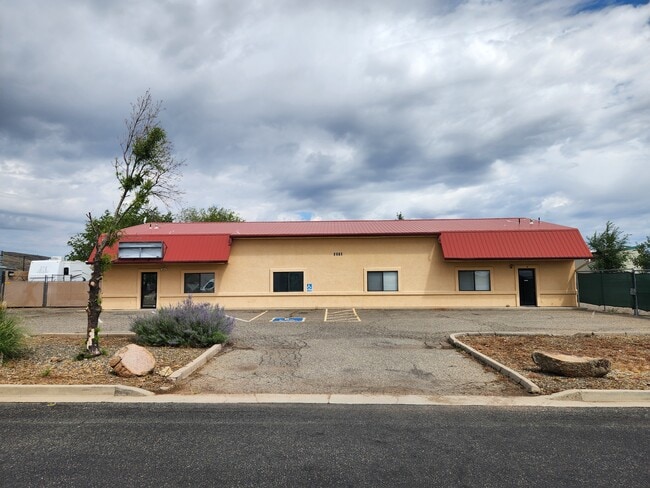
6570 E 6Th St, Prescott Valley, AZ 86314

Property Detail
6570 E 6Th St
103-08-047T
AN IRREG PCL LYNG IN THE NW4SE4 WITH THE NW COR LYNG APPROX 100S & 100E FROM THE NW COR SE4 OF SEC 22-14-1W CONT .45AC
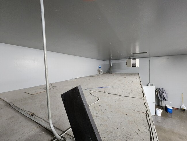
Warehouse
Yavapai
B and X Area of moderate flood hazard, usually the area between the limits of the 100-year and 500-year floods.
Arizona
2025
0.45 AC
2027
Prescott & Sedona
000502
Other Market Areas
3,960 SF
Prescott, AZ
NEARBY LISTINGS FOR SALE OR LEASE
DEMOGRAPHICS near 6570 E 6Th St
1 mile
3 mile
5 mile
2025 Total Population
3,819
31,083
56,454
2030 Population
3,943
32,355
58,987
Pop Growth 2025-2030
+ 3.25%
+ 4.09%
+ 4.49%
Average Age
41
45
46
2025 Total Households
1,433
12,954
24,042
HH Growth 2025-2030
+ 3.35%
+ 4.26%
+ 4.69%
Median Household Inc
$71,976
$68,598
$71,462
Avg Household Size
2.60
2.40
2.30
2025 Avg HH Vehicles
2.00
2.00
2.00
Median Home Value
$353,073
$431,845
$430,652
Median Year Built
1992
1998
1997
Nearby Places
Map Layers
Map Styles
 Street
 Aerial
Layers
 Traffic
 Biking
Places
Listings with unknown addresses are not visible on the map
- Restaurants
- Banks
- Shops
- Fitness
- Groceries
SALE & LEASE HISTORY
LISTING DATE
SALE/LEASE

Sep 08, 2025
For Lease
Jul 03, 2024
For Sale
Nearby Properties
Address
Land Use
TOTAL SIZE
Lot Size
Zoning
Address
Land Use
TOTAL SIZE
Lot Size
Zoning
208,851 SF
27.27 AC
Address
Land Use
TOTAL SIZE
Lot Size
Zoning
271,471 SF
60.72 AC
Address
Land Use
TOTAL SIZE
Lot Size
Zoning
135,064 SF
5.09 AC
Address
Land Use
TOTAL SIZE
Lot Size
Zoning
160,494 SF
11.45 AC
Address
Land Use
TOTAL SIZE
Lot Size
Zoning
124,220 SF
2.85 AC
Address
Land Use
TOTAL SIZE
Lot Size
Zoning
162,490 SF
18.78 AC
Address
Land Use
TOTAL SIZE
Lot Size
Zoning
80,137 SF
20 AC
Address
Land Use
TOTAL SIZE
Lot Size
Zoning
18,241 SF
66.38 AC
Address
Land Use
TOTAL SIZE
Lot Size
Zoning
107,574 SF
10.20 AC
Address
Land Use
TOTAL SIZE
Lot Size
Zoning
265,055 SF
20.24 AC
Address
Land Use
TOTAL SIZE
Lot Size
Zoning
59,348 SF
10.25 AC
Address
Land Use
TOTAL SIZE
Lot Size
Zoning
60,263 SF
18.14 AC
Address
Land Use
TOTAL SIZE
Lot Size
Zoning
134,888 SF
12.32 AC
Address
Land Use
TOTAL SIZE
Lot Size
Zoning
59,859 SF
2.05 AC
Address
Land Use
TOTAL SIZE
Lot Size
Zoning
106,184 SF
11.64 AC
Address
Land Use
TOTAL SIZE
Lot Size
Zoning
81,274 SF
5.44 AC
Address
Land Use
TOTAL SIZE
Lot Size
Zoning
72,690 SF
2.44 AC
Address
Land Use
TOTAL SIZE
Lot Size
Zoning
41,251 SF
4.79 AC
Address
Land Use
TOTAL SIZE
Lot Size
Zoning
51,437 SF
5.90 AC
Address
Land Use
TOTAL SIZE
Lot Size
Zoning
82,099 SF
7.58 AC
Address
Land Use
TOTAL SIZE
Lot Size
Zoning
53,736 SF
12.56 AC
Address
Land Use
TOTAL SIZE
Lot Size
Zoning
52,282 SF
9.44 AC
Address
Land Use
TOTAL SIZE
Lot Size
Zoning
86,175 SF
6.46 AC
Address
Land Use
TOTAL SIZE
Lot Size
Zoning
102,281 SF
11.81 AC
Address
Land Use
TOTAL SIZE
Lot Size
Zoning
68,093 SF
4.78 AC
Address
Land Use
TOTAL SIZE
Lot Size
Zoning
41,370 SF
4.94 AC
Address
Land Use
TOTAL SIZE
Lot Size
Zoning
60,659 SF
2.22 AC
Address
Land Use
TOTAL SIZE
Lot Size
Zoning
109,140 SF
7.47 AC
Address
Land Use
TOTAL SIZE
Lot Size
Zoning
67,322 SF
5 AC
Address
Land Use
TOTAL SIZE
Lot Size
Zoning
61,755 SF
10.86 AC
The World's #1 Commercial Real Estate Marketplace
Connect with us
© 2026 CoStar Group
The information above has been obtained from sources believed reliable. While we do not doubt its accuracy we have not verified it and make no guarantee, warranty or representation about it. It is your responsibility to independently confirm its accuracy and completeness. Any projections, opinions, assumptions, or estimates used are for example only and do not represent the current or future performance of the property. The value of this transaction to you depends on tax and other factors which should be evaluated by your tax, financial, and legal advisors. You and your advisors should conduct a careful, independent investigation of the property to determine to your satisfaction the suitability of the property for your needs.