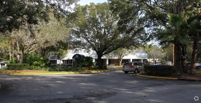
Property Record
6575 Charing St, Jacksonville, FL 32216


Property Detail
6575 Charing St
152863-0010
14-99 09-3S-27E 9.54 R/P PT SOUTHSIDE FARMS PT TRACT 6,PT F RICHARD GRANT RECD O/R 14407-1633
Retirementnursinghomecombined
DUVAL
PUD
Florida
B and X Area of moderate flood hazard, usually the area between the limits of the 100-year and 500-year floods.
9.74 AC
2025
Southside
2026
Jacksonville (Florida)
015924
Jacksonville, FL
73,024 SF
NEARBY LISTINGS FOR SALE OR LEASE
-
-
View all Jacksonville listings for sale on LoopNet.com
DEMOGRAPHICS near 6575 Charing St
1 mile
3 mile
5 mile
2025 Total Population
7,093
87,432
206,101
2030 Population
7,565
92,873
218,847
Pop Growth 2025-2030
+ 6.65%
+ 6.22%
+ 6.18%
Average Age
39
39
39
2025 Total Households
2,956
37,524
89,049
HH Growth 2025-2030
+ 7.04%
+ 6.52%
+ 6.47%
Median Household Inc
$77,895
$69,030
$68,253
Avg Household Size
2.30
2.20
2.20
2025 Avg HH Vehicles
2.00
2.00
2.00
Median Home Value
$289,316
$295,897
$315,303
Median Year Built
1994
1984
1985
Nearby Places
Map Layers
Map Styles
 Street
 Aerial
Transit
 Traffic
 Biking
Places
Listings with unknown addresses are not visible on the map
- Restaurants
- Banks
- Shops
- Fitness
- Groceries
PUBLIC TRANSPORTATION
AIRPORT
Jacksonville International
Drive
Walk
Distance
Jacksonville International
34 min
22.0 mi
Freight Ports
Jacksonville Port
Drive
Walk
Distance
Jacksonville Port
19 min
10.4 mi
Nearby Properties
Address
Land Use
TOTAL SIZE
Lot Size
Zoning
Address
Land Use
TOTAL SIZE
Lot Size
Zoning
1,037,304 SF
103.91 AC
PUD
Address
Land Use
TOTAL SIZE
Lot Size
Zoning
875,866 SF
22.33 AC
PBF-3
Address
Land Use
TOTAL SIZE
Lot Size
Zoning
251,691 SF
17.51 AC
PUD
Address
Land Use
TOTAL SIZE
Lot Size
Zoning
478,012 SF
29.87 AC
PUD
Address
Land Use
TOTAL SIZE
Lot Size
Zoning
419,299 SF
40.24 AC
PUD
Address
Land Use
TOTAL SIZE
Lot Size
Zoning
371,466 SF
49.16 AC
PBF-2
Address
Land Use
TOTAL SIZE
Lot Size
Zoning
293,072 SF
16.52 AC
PUD
Address
Land Use
TOTAL SIZE
Lot Size
Zoning
223,939 SF
13.28 AC
PUD
Address
Land Use
TOTAL SIZE
Lot Size
Zoning
209,436 SF
14.38 AC
PUD
Address
Land Use
TOTAL SIZE
Lot Size
Zoning
273,196 SF
16.57 AC
PUD
Address
Land Use
TOTAL SIZE
Lot Size
Zoning
306,416 SF
12.27 AC
PUD
Address
Land Use
TOTAL SIZE
Lot Size
Zoning
341,849 SF
15 AC
PUD
Address
Land Use
TOTAL SIZE
Lot Size
Zoning
217,557 SF
14.72 AC
PUD
Address
Land Use
TOTAL SIZE
Lot Size
Zoning
329,810 SF
33.39 AC
PUD
Address
Land Use
TOTAL SIZE
Lot Size
Zoning
446,326 SF
23.68 AC
RMD-D
Address
Land Use
TOTAL SIZE
Lot Size
Zoning
383,228 SF
40.69 AC
PUD
Address
Land Use
TOTAL SIZE
Lot Size
Zoning
426,575 SF
32.98 AC
PUD
Address
Land Use
TOTAL SIZE
Lot Size
Zoning
464,189 SF
44.85 AC
RMD-D
Address
Land Use
TOTAL SIZE
Lot Size
Zoning
316,705 SF
15.44 AC
PUD
Address
Land Use
TOTAL SIZE
Lot Size
Zoning
250,989 SF
19.48 AC
PUD
Address
Land Use
TOTAL SIZE
Lot Size
Zoning
380,690 SF
6.68 AC
PUD
Address
Land Use
TOTAL SIZE
Lot Size
Zoning
281,793 SF
17.43 AC
PUD
Address
Land Use
TOTAL SIZE
Lot Size
Zoning
193,941 SF
7.35 AC
PUD
Address
Land Use
TOTAL SIZE
Lot Size
Zoning
256,875 SF
32.76 AC
PUD
Address
Land Use
TOTAL SIZE
Lot Size
Zoning
325,848 SF
25.78 AC
RMD-C
Address
Land Use
TOTAL SIZE
Lot Size
Zoning
313,009 SF
22.50 AC
RMD-D
Address
Land Use
TOTAL SIZE
Lot Size
Zoning
285,292 SF
16.68 AC
PUD
Address
Land Use
TOTAL SIZE
Lot Size
Zoning
415,146 SF
19.27 AC
RMD-D
Address
Land Use
TOTAL SIZE
Lot Size
Zoning
286,223 SF
28.01 AC
PBF-2
Address
Land Use
TOTAL SIZE
Lot Size
Zoning
244,149 SF
13.84 AC
PUD
The World's #1 Commercial Real Estate Marketplace
Connect with us
© 2026 CoStar Group
The information above has been obtained from sources believed reliable. While we do not doubt its accuracy we have not verified it and make no guarantee, warranty or representation about it. It is your responsibility to independently confirm its accuracy and completeness. Any projections, opinions, assumptions, or estimates used are for example only and do not represent the current or future performance of the property. The value of this transaction to you depends on tax and other factors which should be evaluated by your tax, financial, and legal advisors. You and your advisors should conduct a careful, independent investigation of the property to determine to your satisfaction the suitability of the property for your needs.