Property Record
16314 Franklin Ave, Port Charlotte, FL 33953


NEARBY LISTINGS FOR SALE OR LEASE
Property Detail
16314 Franklin Ave
Punta Gorda, FL
Port Charlotte
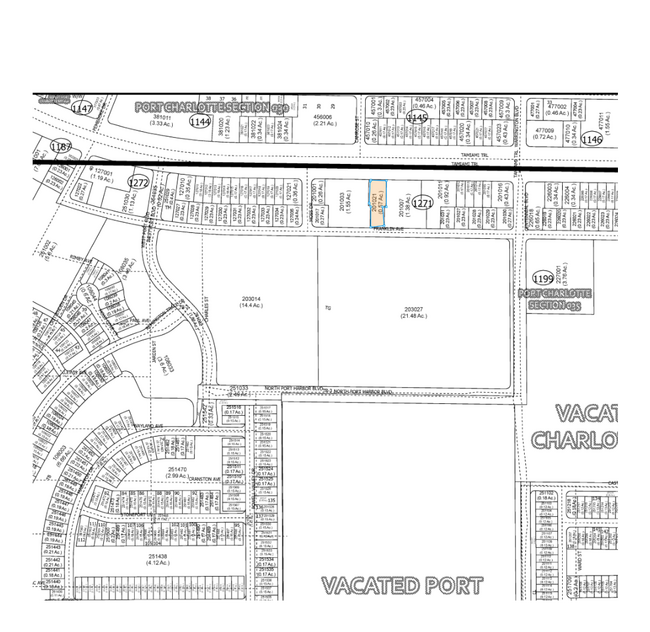
402111201021
PORT CHARLOTTE SEC35 BLK 1271 LT 5 205/694 949/2000 1711/91 3926/139 4254/962 4895/1756 4895/1760 PCH 035 1271 0030 PORT CHARLOTTE SEC35 BLK1271 LT30 162/506 DC832/1650 832/1653 948/1553 1711/91 3926/139 4254/960 4895/1
Commercialacreage
Charlotte
X
Florida
12015C0043G
5
2024
0.57 AC
2025
Charlotte County
020402
Southwest Florida
DEMOGRAPHICS near 16314 Franklin Ave
1 Mile
3 Mile
5 Mile
2024 Total Population
1,622
28,382
97,086
2029 Population
2,206
36,457
124,784
Pop Growth 2024-2029
+ 36.00%
+ 28.45%
+ 28.53%
Average Age
45
45
47
2024 Total Households
646
11,155
40,046
HH Growth 2024-2029
+ 35.45%
+ 28.44%
+ 28.59%
Median Household Inc
$56,727
$57,508
$63,693
Avg Household Size
2.40
2.50
2.40
2024 Avg HH Vehicles
2.00
2.00
2.00
Median Home Value
$358,088
$253,931
$248,745
Median Year Built
2005
2002
1999
Nearby Places
Map Layers
Map Styles
 Street
 Aerial
- Restaurants
- Banks
- Shops
- Fitness
- Groceries
PUBLIC TRANSPORTATION
AIRPORT
Punta Gorda
DRIVE
WALK
Distance
Punta Gorda
28 min
14.5 mi
Sarasota/Bradenton International
DRIVE
WALK
Distance
Sarasota/Bradenton International
64 min
44.7 mi
Freight Ports
Port Manatee
DRIVE
WALK
Distance
Port Manatee
75 min
57.2 mi
SALE & LEASE HISTORY
LISTING DATE
SALE/LEASE

Apr 22, 2025
For Lease
Nearby Properties
Address
Land Use
TOTAL SIZE
Lot Size
Zoning
Address
Land Use
TOTAL SIZE
Lot Size
Zoning
316,994 SF
40.88 AC
V
Address
Land Use
TOTAL SIZE
Lot Size
Zoning
103,886 SF
21.48 AC
PD
Address
Land Use
TOTAL SIZE
Lot Size
Zoning
267,412 SF
23.26 AC
AC1
Address
Land Use
TOTAL SIZE
Lot Size
Zoning
198,132 SF
17.61 AC
RMF15
Address
Land Use
TOTAL SIZE
Lot Size
Zoning
132,969 SF
80.28 AC
PKR
Address
Land Use
TOTAL SIZE
Lot Size
Zoning
53,564 SF
22 AC
PD
Address
Land Use
TOTAL SIZE
Lot Size
Zoning
261,557 SF
46.25 AC
OMI
Address
Land Use
TOTAL SIZE
Lot Size
Zoning
196,676 SF
30 AC
OMI
Address
Land Use
TOTAL SIZE
Lot Size
Zoning
174,965 SF
13.52 AC
CG
Address
Land Use
TOTAL SIZE
Lot Size
Zoning
131,053 SF
14.40 AC
PD
Address
Land Use
TOTAL SIZE
Lot Size
Zoning
583,831 SF
54.32 AC
CG
Address
Land Use
TOTAL SIZE
Lot Size
Zoning
205,624 SF
21.37 AC
AC1
Address
Land Use
TOTAL SIZE
Lot Size
Zoning
9,511 SF
40.53 AC
PD
Address
Land Use
TOTAL SIZE
Lot Size
Zoning
141,619 SF
12.39 AC
II
Address
Land Use
TOTAL SIZE
Lot Size
Zoning
208,372 SF
21.98 AC
II
Address
Land Use
TOTAL SIZE
Lot Size
Zoning
122,030 SF
7.43 AC
CG
Address
Land Use
TOTAL SIZE
Lot Size
Zoning
114,985 SF
29.77 AC
GU
Address
Land Use
TOTAL SIZE
Lot Size
Zoning
79,944 SF
15.64 AC
AC1
Address
Land Use
TOTAL SIZE
Lot Size
Zoning
94,423 SF
12.87 AC
V
Address
Land Use
TOTAL SIZE
Lot Size
Zoning
52,706 SF
4.81 AC
V
Address
Land Use
TOTAL SIZE
Lot Size
Zoning
107,237 SF
20.14 AC
CG
Address
Land Use
TOTAL SIZE
Lot Size
Zoning
95.20 AC
PD
Address
Land Use
TOTAL SIZE
Lot Size
Zoning
96,253 SF
7.89 AC
CG
Address
Land Use
TOTAL SIZE
Lot Size
Zoning
37,567 SF
36.76 AC
PKR
Address
Land Use
TOTAL SIZE
Lot Size
Zoning
4,562 SF
8.08 AC
CG
Address
Land Use
TOTAL SIZE
Lot Size
Zoning
105,046 SF
12.69 AC
AC1
Address
Land Use
TOTAL SIZE
Lot Size
Zoning
82,800 SF
9.45 AC
CG
Address
Land Use
TOTAL SIZE
Lot Size
Zoning
74,447 SF
4.50 AC
CG
Address
Land Use
TOTAL SIZE
Lot Size
Zoning
22,919 SF
4.70 AC
CG
Address
Land Use
TOTAL SIZE
Lot Size
Zoning
116,980 SF
16.23 AC
II
The World's #1 Commercial Real Estate Marketplace
Connect with us
© 2026 CoStar Group
The information above has been obtained from sources believed reliable. While we do not doubt its accuracy we have not verified it and make no guarantee, warranty or representation about it. It is your responsibility to independently confirm its accuracy and completeness. Any projections, opinions, assumptions, or estimates used are for example only and do not represent the current or future performance of the property. The value of this transaction to you depends on tax and other factors which should be evaluated by your tax, financial, and legal advisors. You and your advisors should conduct a careful, independent investigation of the property to determine to your satisfaction the suitability of the property for your needs.