Property Record
660 Main St, Fiskdale, MA 01518

Property Detail
660 Main St
STUR-000415-000000-002335-000660
WORCESTER
Multipleuses
Massachusetts
B and X Area of moderate flood hazard, usually the area between the limits of the 100-year and 500-year floods.
2335
2025
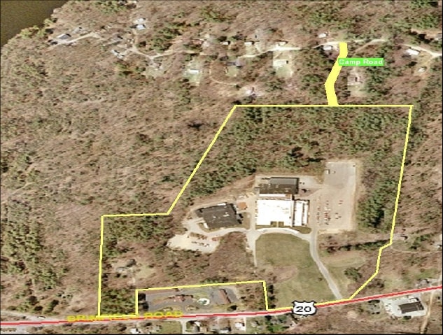
49.02 AC
2025
Outlying Worcester
758103
Boston
68,898 SF
Worcester, MA
NEARBY LISTINGS FOR SALE OR LEASE
-
-
View all Fiskdale listings for sale on LoopNet.com
DEMOGRAPHICS near 660 Main St
1 mile
3 mile
5 mile
2025 Total Population
1,378
7,123
20,864
2030 Population
1,416
7,353
21,440
Pop Growth 2025-2030
+ 2.76%
+ 3.23%
+ 2.76%
Average Age
39
42
43
2025 Total Households
542
2,823
8,324
HH Growth 2025-2030
+ 2.77%
+ 3.33%
+ 2.86%
Median Household Inc
$110,106
$122,593
$101,143
Avg Household Size
2.50
2.50
2.50
2025 Avg HH Vehicles
2.00
2.00
2.00
Median Home Value
$426,754
$431,318
$403,469
Median Year Built
1984
1982
1977
Nearby Places
Map Layers
Map Styles
 Street
 Aerial
Layers
 Traffic
 Biking
Places
Listings with unknown addresses are not visible on the map
- Restaurants
- Banks
- Shops
- Fitness
- Groceries
PUBLIC TRANSPORTATION
AIRPORT
Worcester Regional
Drive
Walk
Distance
Worcester Regional
41 min
24.0 mi
Freight Ports
Port of Davisville, RI
Drive
Walk
Distance
Port of Davisville, RI
100 min
75.3 mi
Nearby Properties
Address
Land Use
TOTAL SIZE
Lot Size
Zoning
Address
Land Use
TOTAL SIZE
Lot Size
Zoning
127,762 SF
19.28 AC
Address
Land Use
TOTAL SIZE
Lot Size
Zoning
Address
Land Use
TOTAL SIZE
Lot Size
Zoning
208,444 SF
14.09 AC
Address
Land Use
TOTAL SIZE
Lot Size
Zoning
40,910 SF
25.36 AC
Address
Land Use
TOTAL SIZE
Lot Size
Zoning
Address
Land Use
TOTAL SIZE
Lot Size
Zoning
4,704 SF
76 AC
Address
Land Use
TOTAL SIZE
Lot Size
Zoning
189.22 AC
B
Address
Land Use
TOTAL SIZE
Lot Size
Zoning
105,660 SF
Address
Land Use
TOTAL SIZE
Lot Size
Zoning
15,000 SF
2 AC
Address
Land Use
TOTAL SIZE
Lot Size
Zoning
55,530 SF
4.74 AC
Address
Land Use
TOTAL SIZE
Lot Size
Zoning
52,255 SF
Address
Land Use
TOTAL SIZE
Lot Size
Zoning
36,220 SF
1.42 AC
Address
Land Use
TOTAL SIZE
Lot Size
Zoning
4,888 SF
12.33 AC
Address
Land Use
TOTAL SIZE
Lot Size
Zoning
51,006 SF
10.54 AC
Address
Land Use
TOTAL SIZE
Lot Size
Zoning
73,136 SF
7.70 AC
Address
Land Use
TOTAL SIZE
Lot Size
Zoning
35,281 SF
2.68 AC
Address
Land Use
TOTAL SIZE
Lot Size
Zoning
28,371 SF
1.85 AC
Address
Land Use
TOTAL SIZE
Lot Size
Zoning
180,013 SF
6.84 AC
Address
Land Use
TOTAL SIZE
Lot Size
Zoning
39,576 SF
3.48 AC
Address
Land Use
TOTAL SIZE
Lot Size
Zoning
2,752 SF
0.22 AC
Address
Land Use
TOTAL SIZE
Lot Size
Zoning
14,671 SF
1 AC
Address
Land Use
TOTAL SIZE
Lot Size
Zoning
10,148 SF
4.37 AC
Address
Land Use
TOTAL SIZE
Lot Size
Zoning
54,599 SF
5.37 AC
Address
Land Use
TOTAL SIZE
Lot Size
Zoning
45,886 SF
2.08 AC
Address
Land Use
TOTAL SIZE
Lot Size
Zoning
25,783 SF
42.49 AC
Address
Land Use
TOTAL SIZE
Lot Size
Zoning
65.96 AC
AR
Address
Land Use
TOTAL SIZE
Lot Size
Zoning
3,812 SF
3.26 AC
Address
Land Use
TOTAL SIZE
Lot Size
Zoning
20,965 SF
1.40 AC
Address
Land Use
TOTAL SIZE
Lot Size
Zoning
7,592 SF
1 AC
The World's #1 Commercial Real Estate Marketplace
Connect with us
© 2026 CoStar Group
The information above has been obtained from sources believed reliable. While we do not doubt its accuracy we have not verified it and make no guarantee, warranty or representation about it. It is your responsibility to independently confirm its accuracy and completeness. Any projections, opinions, assumptions, or estimates used are for example only and do not represent the current or future performance of the property. The value of this transaction to you depends on tax and other factors which should be evaluated by your tax, financial, and legal advisors. You and your advisors should conduct a careful, independent investigation of the property to determine to your satisfaction the suitability of the property for your needs.