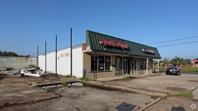
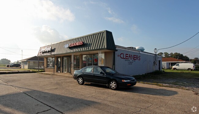
Property Record
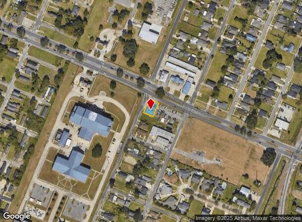
6600 W Judge Perez Dr, Arabi, LA 70032
NEARBY LISTINGS FOR SALE OR LEASE
Property Detail
6600 W Judge Perez Dr
New Orleans-Metairie, LA
Arabi Subdivision
1501693000A1
LOT A-1 SQ. 693 ARABI SUB. MEAS. 70' JUDGE PEREZ X 100' ANGELA
Storebuilding
St Bernard
AE
Louisiana
22051C0225F
a,1
2024
0.16 AC
2025
Chalmette
030300
New Orleans/Metairie/Kenner
DEMOGRAPHICS near 6600 W Judge Perez Dr
1 Mile
3 Mile
5 Mile
2024 Total Population
10,703
67,064
237,999
2029 Population
10,815
65,996
231,812
Pop Growth 2024-2029
+ 1.05%
(1.59%)
(2.60%)
Average Age
39
39
40
2024 Total Households
4,231
27,522
102,714
HH Growth 2024-2029
+ 0.78%
(1.87%)
(2.62%)
Median Household Inc
$39,170
$41,657
$41,523
Avg Household Size
2.40
2.40
2.20
2024 Avg HH Vehicles
1.00
1.00
1.00
Median Home Value
$185,087
$192,850
$209,459
Median Year Built
1959
1961
1964
Nearby Places
Map Layers
Map Styles
 Street
 Aerial
- Restaurants
- Banks
- Shops
- Fitness
- Groceries
PUBLIC TRANSPORTATION
COMMUTER RAIL
New Orleans Union Passenger Terminal (City of New Orleans - Amtrak, Crescent - Amtrak, Sunset Limited - Amtrak)
DRIVE
WALK
Distance
New Orleans Union Passenger Terminal (City of New Orleans - Amtrak, Crescent - Amtrak, Sunset Limited - Amtrak)
14 min
5.8 mi
AIRPORT
Louis Armstrong New Orleans International
DRIVE
WALK
Distance
Louis Armstrong New Orleans International
30 min
18.6 mi
Freight Ports
Port of New Orleans
DRIVE
WALK
Distance
Port of New Orleans
20 min
9.0 mi
Nearby Properties
Address
Land Use
TOTAL SIZE
Lot Size
Zoning
Address
Land Use
TOTAL SIZE
Lot Size
Zoning
Address
Land Use
TOTAL SIZE
Lot Size
Zoning
6.64 AC
Address
Land Use
TOTAL SIZE
Lot Size
Zoning
30.63 AC
Address
Land Use
TOTAL SIZE
Lot Size
Zoning
22.17 AC
Address
Land Use
TOTAL SIZE
Lot Size
Zoning
Address
Land Use
TOTAL SIZE
Lot Size
Zoning
1.33 AC
HI
Address
Land Use
TOTAL SIZE
Lot Size
Zoning
202,291 SF
4.04 AC
HU-RD2
Address
Land Use
TOTAL SIZE
Lot Size
Zoning
85,568 SF
23.74 AC
MU-1
Address
Land Use
TOTAL SIZE
Lot Size
Zoning
0.20 AC
Address
Land Use
TOTAL SIZE
Lot Size
Zoning
Address
Land Use
TOTAL SIZE
Lot Size
Zoning
Address
Land Use
TOTAL SIZE
Lot Size
Zoning
1.91 AC
HU-MU
Address
Land Use
TOTAL SIZE
Lot Size
Zoning
Address
Land Use
TOTAL SIZE
Lot Size
Zoning
1.88 AC
HU-RD2
Address
Land Use
TOTAL SIZE
Lot Size
Zoning
Address
Land Use
TOTAL SIZE
Lot Size
Zoning
Address
Land Use
TOTAL SIZE
Lot Size
Zoning
10,704 SF
3.67 AC
LI
Address
Land Use
TOTAL SIZE
Lot Size
Zoning
Address
Land Use
TOTAL SIZE
Lot Size
Zoning
159,090 SF
23.56 AC
Address
Land Use
TOTAL SIZE
Lot Size
Zoning
57,121 SF
2.57 AC
HU-MU
Address
Land Use
TOTAL SIZE
Lot Size
Zoning
82,611 SF
1.94 AC
HU-RM1
Address
Land Use
TOTAL SIZE
Lot Size
Zoning
1.38 AC
HMC-2
Address
Land Use
TOTAL SIZE
Lot Size
Zoning
Address
Land Use
TOTAL SIZE
Lot Size
Zoning
Address
Land Use
TOTAL SIZE
Lot Size
Zoning
Address
Land Use
TOTAL SIZE
Lot Size
Zoning
20.49 AC
MU-2
Address
Land Use
TOTAL SIZE
Lot Size
Zoning
2.11 AC
HMR-3
Address
Land Use
TOTAL SIZE
Lot Size
Zoning
Address
Land Use
TOTAL SIZE
Lot Size
Zoning
13,608 SF
67.27 AC
OS-N
Address
Land Use
TOTAL SIZE
Lot Size
Zoning
0.92 AC
The World's #1 Commercial Real Estate Marketplace
Connect with us
© 2025 CoStar Group
The information above has been obtained from sources believed reliable. While we do not doubt its accuracy we have not verified it and make no guarantee, warranty or representation about it. It is your responsibility to independently confirm its accuracy and completeness. Any projections, opinions, assumptions, or estimates used are for example only and do not represent the current or future performance of the property. The value of this transaction to you depends on tax and other factors which should be evaluated by your tax, financial, and legal advisors. You and your advisors should conduct a careful, independent investigation of the property to determine to your satisfaction the suitability of the property for your needs.