Property Record
6609 Highway 93, Golden, CO 80403

Save to a Folder
{{folder.Name}}
{{folder.ListingIds.length}} Properties
{{folder.ListingIds.length}} Property
Create a New Folder
Property Detail
6609 Highway 93
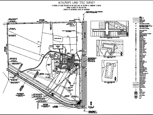
30-044-00-002
SECTION 04 TOWNSHIP 03 RANGE 70 QTR SE SIZE: 398356 VALUE: 9.145 KEY=006
Pasture
Jefferson
A2
Colorado
B and X Area of moderate flood hazard, usually the area between the limits of the 100-year and 500-year floods.
9.15 AC
2025
West Denver
2025
Denver
009858
Denver-Aurora-Centennial, CO
5,998 SF
NEARBY LISTINGS FOR SALE OR LEASE
-
-
View all Golden listings for sale on LoopNet.com
DEMOGRAPHICS near 6609 Highway 93
1 mile
3 mile
5 mile
2025 Total Population
1,321
20,364
64,752
2030 Population
1,296
20,141
64,613
Pop Growth 2025-2030
(1.89%)
(1.10%)
(0.21%)
Average Age
40
43
42
2025 Total Households
475
7,499
23,942
HH Growth 2025-2030
(2.11%)
(1.13%)
(0.28%)
Median Household Inc
$158,823
$167,332
$146,167
Avg Household Size
2.80
2.70
2.60
2025 Avg HH Vehicles
2.00
2.00
2.00
Median Home Value
$755,271
$858,392
$806,771
Median Year Built
1987
2001
1995
Nearby Places
Map Layers
Map Styles
 Street
 Aerial
Layers
 Traffic
 Biking
Places
Listings with unknown addresses are not visible on the map
- Restaurants
- Banks
- Shops
- Fitness
- Groceries
PUBLIC TRANSPORTATION
COMMUTER RAIL
Wheat Ridge - Ward Station Track 1 (Union Station to Wheat Ridge Ward Station - Regional Transportation District)
Drive
Walk
Distance
Wheat Ridge - Ward Station Track 1 (Union Station to Wheat Ridge Ward Station - Regional Transportation District)
12 min
6.7 mi
Arvada Ridge Station Track 1 (Union Station to Wheat Ridge Ward Station - Regional Transportation District)
Drive
Walk
Distance
Arvada Ridge Station Track 1 (Union Station to Wheat Ridge Ward Station - Regional Transportation District)
12 min
7.5 mi
AIRPORT
Denver International
Drive
Walk
Distance
Denver International
49 min
36.9 mi
Freight Ports
Tulsa Port Of Catoosa
Drive
Walk
Distance
Tulsa Port Of Catoosa
746 min
722.4 mi
Nearby Properties
Address
Land Use
TOTAL SIZE
Lot Size
Zoning
Address
Land Use
TOTAL SIZE
Lot Size
Zoning
69,819 SF
1,402.21 AC
R1
Address
Land Use
TOTAL SIZE
Lot Size
Zoning
1,044.03 AC
A2
Address
Land Use
TOTAL SIZE
Lot Size
Zoning
1,019.25 AC
A2
Address
Land Use
TOTAL SIZE
Lot Size
Zoning
118,634 SF
6 AC
Address
Land Use
TOTAL SIZE
Lot Size
Zoning
67,520 SF
6.46 AC
Address
Land Use
TOTAL SIZE
Lot Size
Zoning
175,599 SF
17.23 AC
Address
Land Use
TOTAL SIZE
Lot Size
Zoning
112,255 SF
7.98 AC
Address
Land Use
TOTAL SIZE
Lot Size
Zoning
1,653 SF
575.87 AC
Address
Land Use
TOTAL SIZE
Lot Size
Zoning
164,963 SF
4.56 AC
Address
Land Use
TOTAL SIZE
Lot Size
Zoning
97,803 SF
10.02 AC
Address
Land Use
TOTAL SIZE
Lot Size
Zoning
40,563 SF
4.66 AC
Address
Land Use
TOTAL SIZE
Lot Size
Zoning
63,307 SF
3.94 AC
Address
Land Use
TOTAL SIZE
Lot Size
Zoning
26,180 SF
2.67 AC
R1
Address
Land Use
TOTAL SIZE
Lot Size
Zoning
88,476 SF
5.55 AC
A2
Address
Land Use
TOTAL SIZE
Lot Size
Zoning
27,692 SF
3 AC
Address
Land Use
TOTAL SIZE
Lot Size
Zoning
60,754 SF
9.60 AC
A2
Address
Land Use
TOTAL SIZE
Lot Size
Zoning
156,775 SF
4.25 AC
Address
Land Use
TOTAL SIZE
Lot Size
Zoning
10,698 SF
379.49 AC
PD
Address
Land Use
TOTAL SIZE
Lot Size
Zoning
21,759 SF
1.55 AC
Address
Land Use
TOTAL SIZE
Lot Size
Zoning
53,381 SF
5 AC
Address
Land Use
TOTAL SIZE
Lot Size
Zoning
87,427 SF
3.96 AC
Address
Land Use
TOTAL SIZE
Lot Size
Zoning
20,173 SF
142.57 AC
A2
Address
Land Use
TOTAL SIZE
Lot Size
Zoning
75.88 AC
Address
Land Use
TOTAL SIZE
Lot Size
Zoning
67,528 SF
6.90 AC
Address
Land Use
TOTAL SIZE
Lot Size
Zoning
392.69 AC
Address
Land Use
TOTAL SIZE
Lot Size
Zoning
20,597 SF
3.37 AC
Address
Land Use
TOTAL SIZE
Lot Size
Zoning
23,365 SF
1.98 AC
Address
Land Use
TOTAL SIZE
Lot Size
Zoning
37,296 SF
8.45 AC
PD
Address
Land Use
TOTAL SIZE
Lot Size
Zoning
19,830 SF
3.03 AC
Address
Land Use
TOTAL SIZE
Lot Size
Zoning
53,400 SF
6.40 AC
The World's #1 Commercial Real Estate Marketplace
Connect with us
© 2026 CoStar Group
The information above has been obtained from sources believed reliable. While we do not doubt its accuracy we have not verified it and make no guarantee, warranty or representation about it. It is your responsibility to independently confirm its accuracy and completeness. Any projections, opinions, assumptions, or estimates used are for example only and do not represent the current or future performance of the property. The value of this transaction to you depends on tax and other factors which should be evaluated by your tax, financial, and legal advisors. You and your advisors should conduct a careful, independent investigation of the property to determine to your satisfaction the suitability of the property for your needs.