Property Record
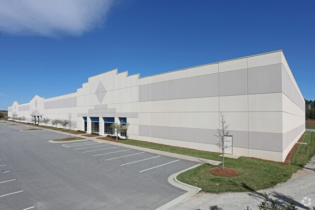
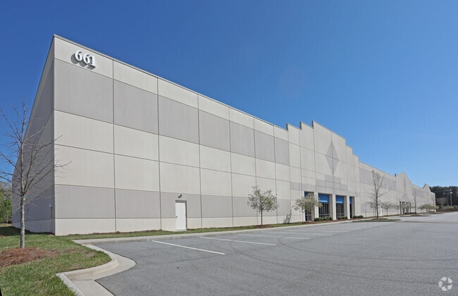
661 Brigham Rd, Greensboro, NC 27409

Property Detail
661 Brigham Rd
0097760
BRIGHAM ENTERPRISE CENTER LO:6 PL:202-67
Commercialnec
Guilford
LI
North Carolina
B and X Area of moderate flood hazard, usually the area between the limits of the 100-year and 500-year floods.
6
2024
8.64 AC
2025
Airport/W Guilford County
016201
Greensboro/Winston-Salem
130,030 SF
Greensboro-High Point, NC
NEARBY LISTINGS FOR SALE OR LEASE
DEMOGRAPHICS near 661 Brigham Rd
1 mile
3 mile
5 mile
2025 Total Population
2,008
11,131
65,195
2030 Population
2,107
11,542
67,603
Pop Growth 2025-2030
+ 4.93%
+ 3.69%
+ 3.69%
Average Age
39
39
40
2025 Total Households
795
4,303
27,984
HH Growth 2025-2030
+ 5.16%
+ 3.93%
+ 3.87%
Median Household Inc
$84,325
$95,419
$80,674
Avg Household Size
2.50
2.60
2.30
2025 Avg HH Vehicles
2.00
2.00
2.00
Median Home Value
$318,548
$349,690
$315,712
Median Year Built
2003
1996
1995
Nearby Places
Map Layers
Map Styles
 Street
 Aerial
Layers
 Traffic
 Biking
Places
Listings with unknown addresses are not visible on the map
- Restaurants
- Banks
- Shops
- Fitness
- Groceries
PUBLIC TRANSPORTATION
AIRPORT
Piedmont Triad International
Drive
Walk
Distance
Piedmont Triad International
15 min
5.3 mi
Freight Ports
Virginia Port Authority - Richmond
Drive
Walk
Distance
Virginia Port Authority - Richmond
244 min
210.4 mi
SALE & LEASE HISTORY
LISTING DATE
SALE/LEASE

Sep 25, 2016
For Lease
Nearby Properties
Address
Land Use
TOTAL SIZE
Lot Size
Zoning
Address
Land Use
TOTAL SIZE
Lot Size
Zoning
1,001,670 SF
94.34 AC
BI
Address
Land Use
TOTAL SIZE
Lot Size
Zoning
404,766 SF
153.35 AC
AR
Address
Land Use
TOTAL SIZE
Lot Size
Zoning
543,043 SF
62.40 AC
BP
Address
Land Use
TOTAL SIZE
Lot Size
Zoning
1,057,283 SF
104.31 AC
PDP
Address
Land Use
TOTAL SIZE
Lot Size
Zoning
905,735 SF
39.66 AC
AR
Address
Land Use
TOTAL SIZE
Lot Size
Zoning
691,408 SF
58.69 AC
LI
Address
Land Use
TOTAL SIZE
Lot Size
Zoning
186,200 SF
10.58 AC
LI
Address
Land Use
TOTAL SIZE
Lot Size
Zoning
324,931 SF
16.32 AC
PUD
Address
Land Use
TOTAL SIZE
Lot Size
Zoning
340,508 SF
15.45 AC
RM-26
Address
Land Use
TOTAL SIZE
Lot Size
Zoning
342,765 SF
20.98 AC
PUD
Address
Land Use
TOTAL SIZE
Lot Size
Zoning
509,216 SF
40.85 AC
LI
Address
Land Use
TOTAL SIZE
Lot Size
Zoning
229,103 SF
18.76 AC
CZ-I
Address
Land Use
TOTAL SIZE
Lot Size
Zoning
285,123 SF
22.44 AC
PUD
Address
Land Use
TOTAL SIZE
Lot Size
Zoning
428,867 SF
76.65 AC
LI
Address
Land Use
TOTAL SIZE
Lot Size
Zoning
362,708 SF
56.81 AC
LI
Address
Land Use
TOTAL SIZE
Lot Size
Zoning
325.42 AC
HI
Address
Land Use
TOTAL SIZE
Lot Size
Zoning
180,568 SF
0.01 AC
AR
Address
Land Use
TOTAL SIZE
Lot Size
Zoning
341,000 SF
29.55 AC
LI
Address
Land Use
TOTAL SIZE
Lot Size
Zoning
543,123 SF
24.66 AC
LI
Address
Land Use
TOTAL SIZE
Lot Size
Zoning
217,000 SF
16.58 AC
LI
Address
Land Use
TOTAL SIZE
Lot Size
Zoning
267,381 SF
18.98 AC
RM-12
Address
Land Use
TOTAL SIZE
Lot Size
Zoning
161,975 SF
20.66 AC
BP
Address
Land Use
TOTAL SIZE
Lot Size
Zoning
176,000 SF
12.95 AC
CZ-I
Address
Land Use
TOTAL SIZE
Lot Size
Zoning
208,936 SF
22.88 AC
LI
Address
Land Use
TOTAL SIZE
Lot Size
Zoning
134,781 SF
140.63 AC
AR
Address
Land Use
TOTAL SIZE
Lot Size
Zoning
209,128 SF
17.45 AC
RM-18
Address
Land Use
TOTAL SIZE
Lot Size
Zoning
112,728 SF
9.18 AC
BP
Address
Land Use
TOTAL SIZE
Lot Size
Zoning
121,932 SF
38.04 AC
BP
Address
Land Use
TOTAL SIZE
Lot Size
Zoning
66,780 SF
16.64 AC
LI
Address
Land Use
TOTAL SIZE
Lot Size
Zoning
192,200 SF
21.68 AC
LI
The World's #1 Commercial Real Estate Marketplace
Connect with us
© 2026 CoStar Group
The information above has been obtained from sources believed reliable. While we do not doubt its accuracy we have not verified it and make no guarantee, warranty or representation about it. It is your responsibility to independently confirm its accuracy and completeness. Any projections, opinions, assumptions, or estimates used are for example only and do not represent the current or future performance of the property. The value of this transaction to you depends on tax and other factors which should be evaluated by your tax, financial, and legal advisors. You and your advisors should conduct a careful, independent investigation of the property to determine to your satisfaction the suitability of the property for your needs.