Property Record
6611 W Highway 22, Crestwood, KY 40014


NEARBY LISTINGS FOR SALE OR LEASE
-
-
View all Crestwood listings for sale on LoopNet.com
Property Detail
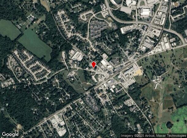
6611 W Highway 22
Louisville
2 COMM BLD & .424AC
Louisville-Jefferson County, KY-IN
Oldham
24-C.1-01-11&12
Kentucky
Commercialnec
11&12
2024
0.42 AC
2024
Oldham County
030601
DEMOGRAPHICS near 6611 W Highway 22
1 Mile
3 Mile
5 Mile
2024 Total Population
3,866
27,270
71,349
2029 Population
4,106
28,248
73,106
Pop Growth 2024-2029
+ 6.21%
+ 3.59%
+ 2.46%
Average Age
39
39
40
2024 Total Households
1,363
9,582
26,164
HH Growth 2024-2029
+ 6.24%
+ 3.56%
+ 2.24%
Median Household Inc
$99,772
$111,406
$106,838
Avg Household Size
2.70
2.80
2.70
2024 Avg HH Vehicles
2.00
2.00
2.00
Median Home Value
$340,452
$346,032
$348,801
Median Year Built
1988
1995
1997
Nearby Places
Map Layers
Map Styles
 Street
 Aerial
- Restaurants
- Banks
- Shops
- Fitness
- Groceries
PUBLIC TRANSPORTATION
AIRPORT
Louisville Muhammad Ali International
DRIVE
WALK
Distance
Louisville Muhammad Ali International
38 min
25.2 mi
Nearby Properties
Address
Land Use
TOTAL SIZE
Lot Size
Zoning
Address
Land Use
TOTAL SIZE
Lot Size
Zoning
4,560 SF
24.41 AC
R6-RESIDEN
Address
Land Use
TOTAL SIZE
Lot Size
Zoning
62,500 SF
59.16 AC
PEC-PLANNE
Address
Land Use
TOTAL SIZE
Lot Size
Zoning
0.67 AC
Address
Land Use
TOTAL SIZE
Lot Size
Zoning
19.95 AC
Address
Land Use
TOTAL SIZE
Lot Size
Zoning
18,720 SF
7.81 AC
R6-RESIDEN
Address
Land Use
TOTAL SIZE
Lot Size
Zoning
Address
Land Use
TOTAL SIZE
Lot Size
Zoning
2,226 SF
11.43 AC
R4-RESIDEN
Address
Land Use
TOTAL SIZE
Lot Size
Zoning
272.55 AC
Address
Land Use
TOTAL SIZE
Lot Size
Zoning
210,458 SF
41.37 AC
PEC-PLANNE
Address
Land Use
TOTAL SIZE
Lot Size
Zoning
Address
Land Use
TOTAL SIZE
Lot Size
Zoning
7.36 AC
Address
Land Use
TOTAL SIZE
Lot Size
Zoning
75,279 SF
7.31 AC
PEC-PLANNE
Address
Land Use
TOTAL SIZE
Lot Size
Zoning
Address
Land Use
TOTAL SIZE
Lot Size
Zoning
5.25 AC
Address
Land Use
TOTAL SIZE
Lot Size
Zoning
1.41 AC
Address
Land Use
TOTAL SIZE
Lot Size
Zoning
0.89 AC
Address
Land Use
TOTAL SIZE
Lot Size
Zoning
106,110 SF
6.69 AC
PEC-PLANNE
Address
Land Use
TOTAL SIZE
Lot Size
Zoning
Address
Land Use
TOTAL SIZE
Lot Size
Zoning
3.39 AC
Address
Land Use
TOTAL SIZE
Lot Size
Zoning
Address
Land Use
TOTAL SIZE
Lot Size
Zoning
Address
Land Use
TOTAL SIZE
Lot Size
Zoning
3.45 AC
Address
Land Use
TOTAL SIZE
Lot Size
Zoning
Address
Land Use
TOTAL SIZE
Lot Size
Zoning
Address
Land Use
TOTAL SIZE
Lot Size
Zoning
2.12 AC
Address
Land Use
TOTAL SIZE
Lot Size
Zoning
Address
Land Use
TOTAL SIZE
Lot Size
Zoning
Address
Land Use
TOTAL SIZE
Lot Size
Zoning
1.46 AC
Address
Land Use
TOTAL SIZE
Lot Size
Zoning
2.63 AC
Address
Land Use
TOTAL SIZE
Lot Size
Zoning
The World's #1 Commercial Real Estate Marketplace
Connect with us
© 2025 CoStar Group
The information above has been obtained from sources believed reliable. While we do not doubt its accuracy we have not verified it and make no guarantee, warranty or representation about it. It is your responsibility to independently confirm its accuracy and completeness. Any projections, opinions, assumptions, or estimates used are for example only and do not represent the current or future performance of the property. The value of this transaction to you depends on tax and other factors which should be evaluated by your tax, financial, and legal advisors. You and your advisors should conduct a careful, independent investigation of the property to determine to your satisfaction the suitability of the property for your needs.