Property Record
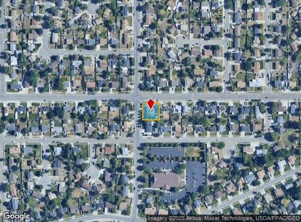
6613 S Clernates Dr, West Jordan, UT 84081
NEARBY LISTINGS FOR SALE OR LEASE
-
-
-
-
-
-
No Photo
-
-
View all West Jordan listings for sale on LoopNet.com
Property Detail
6613 S Clernates Dr
Salt Lake City, UT
Oquirrh Shadows
20-24-327-001-0000
Salt Lake
Sfr
Utah
X
0.23 AC
49035C0275G
Central Valley West
2,030 SF
Salt Lake City
DEMOGRAPHICS near 6613 S Clernates Dr
1 Mile
3 Mile
5 Mile
2024 Total Population
21,599
134,432
295,469
2029 Population
21,893
136,735
299,637
Pop Growth 2024-2029
+ 1.36%
+ 1.71%
+ 1.41%
Average Age
33
34
36
2024 Total Households
5,929
37,857
85,877
HH Growth 2024-2029
+ 1.32%
+ 1.62%
+ 1.35%
Median Household Inc
$93,110
$87,071
$87,749
Avg Household Size
3.60
3.50
3.30
2024 Avg HH Vehicles
3.00
2.00
2.00
Median Home Value
$345,329
$371,031
$382,907
Median Year Built
1993
1992
1988
Nearby Places
Map Layers
Map Styles
 Street
 Aerial
- Restaurants
- Banks
- Shops
- Fitness
- Groceries
PUBLIC TRANSPORTATION
AIRPORT
Salt Lake City International
DRIVE
WALK
Distance
Salt Lake City International
22 min
12.6 mi
Provo Municipal
DRIVE
WALK
Distance
Provo Municipal
56 min
42.8 mi
SALE & LEASE HISTORY
LISTING DATE
SALE/LEASE

Sep 26, 2018
For Sale
Apr 17, 2019
For Sale
Nearby Properties
Address
Land Use
TOTAL SIZE
Lot Size
Zoning
Address
Land Use
TOTAL SIZE
Lot Size
Zoning
338,177 SF
21.91 AC
M-1
Address
Land Use
TOTAL SIZE
Lot Size
Zoning
895,175 SF
28.95 AC
SSD-X
Address
Land Use
TOTAL SIZE
Lot Size
Zoning
233,853 SF
6.05 AC
HFR
Address
Land Use
TOTAL SIZE
Lot Size
Zoning
308,722 SF
21.29 AC
M-1
Address
Land Use
TOTAL SIZE
Lot Size
Zoning
1,113,459 SF
80.09 AC
M
Address
Land Use
TOTAL SIZE
Lot Size
Zoning
187.81 AC
P-F
Address
Land Use
TOTAL SIZE
Lot Size
Zoning
362,000 SF
51.81 AC
P-F
Address
Land Use
TOTAL SIZE
Lot Size
Zoning
308,722 SF
20.45 AC
M-1
Address
Land Use
TOTAL SIZE
Lot Size
Zoning
256,167 SF
13.56 AC
P-C
Address
Land Use
TOTAL SIZE
Lot Size
Zoning
188,632 SF
12.11 AC
PC
Address
Land Use
TOTAL SIZE
Lot Size
Zoning
114.79 AC
PF
Address
Land Use
TOTAL SIZE
Lot Size
Zoning
28,515 SF
6.77 AC
PC
Address
Land Use
TOTAL SIZE
Lot Size
Zoning
187,717 SF
15.02 AC
R-M
Address
Land Use
TOTAL SIZE
Lot Size
Zoning
536,706 SF
12.80 AC
SC-2
Address
Land Use
TOTAL SIZE
Lot Size
Zoning
40,042 SF
15.43 AC
R-3-16
Address
Land Use
TOTAL SIZE
Lot Size
Zoning
200,665 SF
20.95 AC
4192
Address
Land Use
TOTAL SIZE
Lot Size
Zoning
836,998 SF
14.25 AC
SC-2
Address
Land Use
TOTAL SIZE
Lot Size
Zoning
250,027 SF
8.46 AC
PF
Address
Land Use
TOTAL SIZE
Lot Size
Zoning
186,337 SF
20 AC
1107
Address
Land Use
TOTAL SIZE
Lot Size
Zoning
411,226 SF
7.22 AC
SC-2
Address
Land Use
TOTAL SIZE
Lot Size
Zoning
314,994 SF
10 AC
R-3
Address
Land Use
TOTAL SIZE
Lot Size
Zoning
80 AC
PF
Address
Land Use
TOTAL SIZE
Lot Size
Zoning
297,972 SF
45.67 AC
M
Address
Land Use
TOTAL SIZE
Lot Size
Zoning
72 AC
2000
Address
Land Use
TOTAL SIZE
Lot Size
Zoning
68.49 AC
PF
Address
Land Use
TOTAL SIZE
Lot Size
Zoning
71,093 SF
29.58 AC
PF
Address
Land Use
TOTAL SIZE
Lot Size
Zoning
205,091 SF
15.71 AC
R-3-16
Address
Land Use
TOTAL SIZE
Lot Size
Zoning
281,172 SF
12.91 AC
MI
Address
Land Use
TOTAL SIZE
Lot Size
Zoning
244,871 SF
14.53 AC
4144
Address
Land Use
TOTAL SIZE
Lot Size
Zoning
350,675 SF
36.41 AC
M
The World's #1 Commercial Real Estate Marketplace
Connect with us
© 2025 CoStar Group
The information above has been obtained from sources believed reliable. While we do not doubt its accuracy we have not verified it and make no guarantee, warranty or representation about it. It is your responsibility to independently confirm its accuracy and completeness. Any projections, opinions, assumptions, or estimates used are for example only and do not represent the current or future performance of the property. The value of this transaction to you depends on tax and other factors which should be evaluated by your tax, financial, and legal advisors. You and your advisors should conduct a careful, independent investigation of the property to determine to your satisfaction the suitability of the property for your needs.