Property Record
6620 50Th Ave, Kenosha, WI 53142
NEARBY LISTINGS FOR SALE OR LEASE
-
-
-
-
-
-
No Photo
-
View all Kenosha listings for sale on LoopNet.com
Property Detail
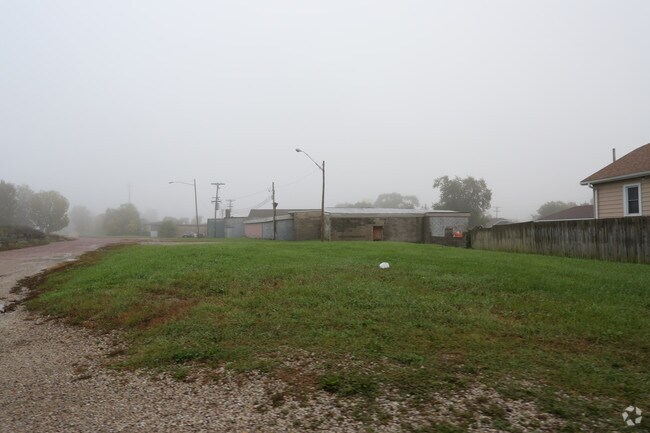
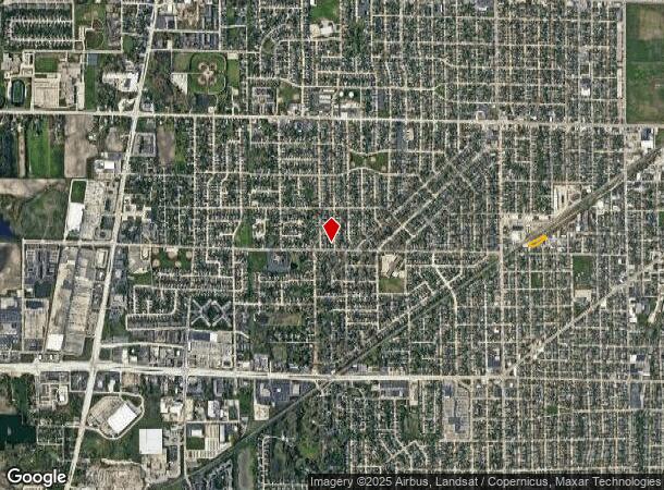
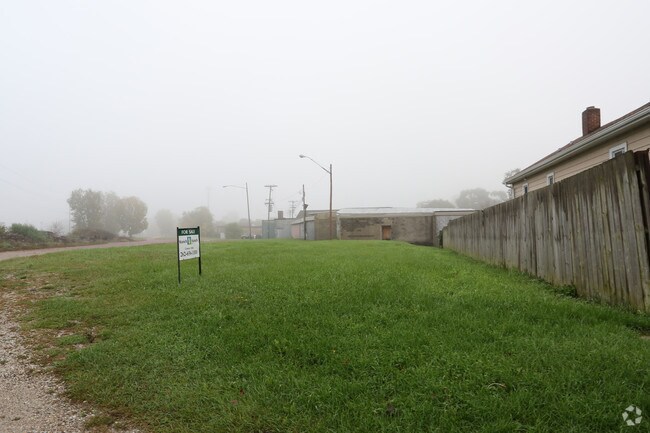
6620 50Th Ave
Chicago-Naperville-Elgin, IL-IN-WI
Highland View Sub
01-122-01-256-001
NW 1/4 SEC 1 T 1 R 22 COM ON CNTR LINE 37TH AVE & 165 FT N OF S 1/4 SE C LINE E'LY 105 FT NE'LY 425 FT N'LY 25 FT NW'LY 480 F
Commercialacreage
Kenosha
X
Wisconsin
55059C0203D
221
2024
0.58 AC
2024
Kenosha East
001402
Chicago
DEMOGRAPHICS near 6620 50Th Ave
1 Mile
3 Mile
5 Mile
2024 Total Population
18,551
83,551
119,437
2029 Population
18,138
82,472
118,359
Pop Growth 2024-2029
(2.23%)
(1.29%)
(0.90%)
Average Age
38
39
39
2024 Total Households
7,239
32,908
47,431
HH Growth 2024-2029
(2.29%)
(1.31%)
(0.89%)
Median Household Inc
$64,840
$63,188
$67,621
Avg Household Size
2.50
2.40
2.40
2024 Avg HH Vehicles
2.00
2.00
2.00
Median Home Value
$162,935
$186,133
$218,178
Median Year Built
1952
1964
1973
Nearby Places
Map Layers
Map Styles
 Street
 Aerial
- Restaurants
- Banks
- Shops
- Fitness
- Groceries
PUBLIC TRANSPORTATION
COMMUTER RAIL
Kenosha Station (Union Pacific North Line - Northeast Illinois Regional Commuter Railroad (Metra))
DRIVE
WALK
Distance
Kenosha Station (Union Pacific North Line - Northeast Illinois Regional Commuter Railroad (Metra))
8 min
3.9 mi
Winthrop Harbor Station (Union Pacific North Line - Northeast Illinois Regional Commuter Railroad (Metra))
DRIVE
WALK
Distance
Winthrop Harbor Station (Union Pacific North Line - Northeast Illinois Regional Commuter Railroad (Metra))
17 min
8.9 mi
AIRPORT
General Mitchell International
DRIVE
WALK
Distance
General Mitchell International
42 min
32.0 mi
Freight Ports
Port Milwaukee
DRIVE
WALK
Distance
Port Milwaukee
46 min
35.9 mi
Nearby Properties
Address
Land Use
TOTAL SIZE
Lot Size
Zoning
Address
Land Use
TOTAL SIZE
Lot Size
Zoning
731,186 SF
81.94 AC
M2
Address
Land Use
TOTAL SIZE
Lot Size
Zoning
3,886 SF
20.04 AC
Address
Land Use
TOTAL SIZE
Lot Size
Zoning
57.67 AC
Address
Land Use
TOTAL SIZE
Lot Size
Zoning
424,072 SF
29.14 AC
Address
Land Use
TOTAL SIZE
Lot Size
Zoning
30.04 AC
Address
Land Use
TOTAL SIZE
Lot Size
Zoning
47.82 AC
Address
Land Use
TOTAL SIZE
Lot Size
Zoning
850,230 SF
39.46 AC
M2
Address
Land Use
TOTAL SIZE
Lot Size
Zoning
35,092 SF
26.34 AC
B2
Address
Land Use
TOTAL SIZE
Lot Size
Zoning
4,643 SF
60 AC
Address
Land Use
TOTAL SIZE
Lot Size
Zoning
48,284 SF
4.99 AC
Address
Land Use
TOTAL SIZE
Lot Size
Zoning
32,245 SF
22 AC
RM2
Address
Land Use
TOTAL SIZE
Lot Size
Zoning
26,016 SF
14.02 AC
FW
Address
Land Use
TOTAL SIZE
Lot Size
Zoning
2,963 SF
13.16 AC
Address
Land Use
TOTAL SIZE
Lot Size
Zoning
14.40 AC
Address
Land Use
TOTAL SIZE
Lot Size
Zoning
148,330 SF
17.55 AC
Address
Land Use
TOTAL SIZE
Lot Size
Zoning
194,281 SF
19.13 AC
B2
Address
Land Use
TOTAL SIZE
Lot Size
Zoning
25.40 AC
FW
Address
Land Use
TOTAL SIZE
Lot Size
Zoning
14.60 AC
Address
Land Use
TOTAL SIZE
Lot Size
Zoning
85,469 SF
11.30 AC
Address
Land Use
TOTAL SIZE
Lot Size
Zoning
176,978 SF
24.81 AC
Address
Land Use
TOTAL SIZE
Lot Size
Zoning
10.37 AC
IP
Address
Land Use
TOTAL SIZE
Lot Size
Zoning
5.03 AC
RM2
Address
Land Use
TOTAL SIZE
Lot Size
Zoning
17,578 SF
3.98 AC
Address
Land Use
TOTAL SIZE
Lot Size
Zoning
43,724 SF
7.18 AC
Address
Land Use
TOTAL SIZE
Lot Size
Zoning
357,885 SF
26.58 AC
M1
Address
Land Use
TOTAL SIZE
Lot Size
Zoning
17.03 AC
M2
Address
Land Use
TOTAL SIZE
Lot Size
Zoning
15,302 SF
5.77 AC
Address
Land Use
TOTAL SIZE
Lot Size
Zoning
76,848 SF
8.09 AC
BASE
Address
Land Use
TOTAL SIZE
Lot Size
Zoning
161,640 SF
14.88 AC
B2
Address
Land Use
TOTAL SIZE
Lot Size
Zoning
25,775 SF
3.43 AC
The World's #1 Commercial Real Estate Marketplace
Connect with us
© 2025 CoStar Group
The information above has been obtained from sources believed reliable. While we do not doubt its accuracy we have not verified it and make no guarantee, warranty or representation about it. It is your responsibility to independently confirm its accuracy and completeness. Any projections, opinions, assumptions, or estimates used are for example only and do not represent the current or future performance of the property. The value of this transaction to you depends on tax and other factors which should be evaluated by your tax, financial, and legal advisors. You and your advisors should conduct a careful, independent investigation of the property to determine to your satisfaction the suitability of the property for your needs.