Property Record
6624 Gordon Rd, Wilmington, NC 28411

Property Detail
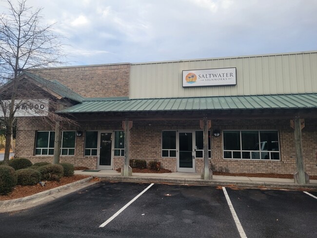
6624 Gordon Rd
R04300-007-084-000
UNIT 6624H BLD C GORDON ROAD STATION
Commercialnec
NEW HANOVER
I-1,INDUST
North Carolina
B and X Area of moderate flood hazard, usually the area between the limits of the 100-year and 500-year floods.
84
2025
0.03 AC
2025
Market Street Corridor
011606
Wilmington
1,500 SF
Wilmington, NC
NEARBY LISTINGS FOR SALE OR LEASE
-
-
View all Wilmington listings for sale on LoopNet.com
DEMOGRAPHICS near 6624 Gordon Rd
1 mile
3 mile
5 mile
2025 Total Population
6,974
57,534
114,065
2030 Population
7,402
60,500
120,882
Pop Growth 2025-2030
+ 6.14%
+ 5.16%
+ 5.98%
Average Age
39
40
39
2025 Total Households
3,029
23,301
48,185
HH Growth 2025-2030
+ 6.34%
+ 5.51%
+ 6.27%
Median Household Inc
$86,333
$84,950
$79,900
Avg Household Size
2.30
2.30
2.20
2025 Avg HH Vehicles
2.00
2.00
2.00
Median Home Value
$336,213
$375,147
$395,935
Median Year Built
1996
1997
1995
Nearby Places
Map Layers
Map Styles
 Street
 Aerial
Transit
 Traffic
 Biking
Places
Listings with unknown addresses are not visible on the map
- Restaurants
- Banks
- Shops
- Fitness
- Groceries
PUBLIC TRANSPORTATION
AIRPORT
Wilmington International
Drive
Walk
Distance
Wilmington International
15 min
6.7 mi
Freight Ports
Port of Wilmington
Drive
Walk
Distance
Port of Wilmington
22 min
11.1 mi
SALE & LEASE HISTORY
LISTING DATE
SALE/LEASE

Sep 19, 2022
For Lease
Oct 20, 2025
For Sale
Nov 13, 2023
For Sale
Jun 14, 2023
For Lease
Jan 27, 2025
For Lease
Aug 30, 2017
For Lease
Apr 16, 2018
For Lease
Apr 09, 2018
For Sale
Nearby Properties
Address
Land Use
TOTAL SIZE
Lot Size
Zoning
Address
Land Use
TOTAL SIZE
Lot Size
Zoning
12,336 SF
67.48 AC
IND
Address
Land Use
TOTAL SIZE
Lot Size
Zoning
194,040 SF
7.74 AC
MX
Address
Land Use
TOTAL SIZE
Lot Size
Zoning
241,296 SF
15.67 AC
B-2,BUSINE
Address
Land Use
TOTAL SIZE
Lot Size
Zoning
Address
Land Use
TOTAL SIZE
Lot Size
Zoning
3,540 SF
25.10 AC
MX
Address
Land Use
TOTAL SIZE
Lot Size
Zoning
186,960 SF
8.80 AC
O&I,OFFICE
Address
Land Use
TOTAL SIZE
Lot Size
Zoning
128,015 SF
6.91 AC
RB,REGIONA
Address
Land Use
TOTAL SIZE
Lot Size
Zoning
153,764 SF
22.87 AC
RB,REGIONA
Address
Land Use
TOTAL SIZE
Lot Size
Zoning
116,691 SF
14.43 AC
RB,REGIONA
Address
Land Use
TOTAL SIZE
Lot Size
Zoning
41,145 SF
13.58 AC
CB,COMMUNI
Address
Land Use
TOTAL SIZE
Lot Size
Zoning
101,003 SF
7.89 AC
MX
Address
Land Use
TOTAL SIZE
Lot Size
Zoning
115,283 SF
4.45 AC
RB,REGIONA
Address
Land Use
TOTAL SIZE
Lot Size
Zoning
94,518 SF
13.73 AC
O&I,OFFICE
Address
Land Use
TOTAL SIZE
Lot Size
Zoning
73,457 SF
6.77 AC
MX
Address
Land Use
TOTAL SIZE
Lot Size
Zoning
30,595 SF
4.12 AC
O&I,OFFICE
Address
Land Use
TOTAL SIZE
Lot Size
Zoning
66,622 SF
3.28 AC
MX
Address
Land Use
TOTAL SIZE
Lot Size
Zoning
93,059 SF
2.76 AC
MX
Address
Land Use
TOTAL SIZE
Lot Size
Zoning
4,674 SF
55.08 AC
MX
Address
Land Use
TOTAL SIZE
Lot Size
Zoning
95,303 SF
19.20 AC
O&I,OFFICE
Address
Land Use
TOTAL SIZE
Lot Size
Zoning
85,973 SF
10 AC
RB,REGIONA
Address
Land Use
TOTAL SIZE
Lot Size
Zoning
53,134 SF
14.19 AC
RB,REGIONA
Address
Land Use
TOTAL SIZE
Lot Size
Zoning
123,166 SF
12.45 AC
RB,REGIONA
Address
Land Use
TOTAL SIZE
Lot Size
Zoning
15,370 SF
11.38 AC
MX
Address
Land Use
TOTAL SIZE
Lot Size
Zoning
54,660 SF
3.32 AC
O&I,OFFICE
Address
Land Use
TOTAL SIZE
Lot Size
Zoning
67,668 SF
2.61 AC
RB,REGIONA
Address
Land Use
TOTAL SIZE
Lot Size
Zoning
64,637 SF
8.74 AC
RB,REGIONA
Address
Land Use
TOTAL SIZE
Lot Size
Zoning
223,059 SF
19.88 AC
RB,REGIONA
Address
Land Use
TOTAL SIZE
Lot Size
Zoning
65,958 SF
4.84 AC
B-2,BUSINE
Address
Land Use
TOTAL SIZE
Lot Size
Zoning
39,040 SF
1.80 AC
MX
Address
Land Use
TOTAL SIZE
Lot Size
Zoning
13,235 SF
12.28 AC
R-15,RESID
The World's #1 Commercial Real Estate Marketplace
Connect with us
© 2026 CoStar Group
The information above has been obtained from sources believed reliable. While we do not doubt its accuracy we have not verified it and make no guarantee, warranty or representation about it. It is your responsibility to independently confirm its accuracy and completeness. Any projections, opinions, assumptions, or estimates used are for example only and do not represent the current or future performance of the property. The value of this transaction to you depends on tax and other factors which should be evaluated by your tax, financial, and legal advisors. You and your advisors should conduct a careful, independent investigation of the property to determine to your satisfaction the suitability of the property for your needs.