Property Record
6635 S Elm Pl W, Broken Arrow, OK 74011
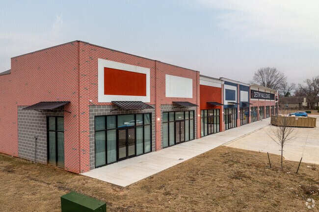
NEARBY LISTINGS FOR SALE OR LEASE
Property Detail
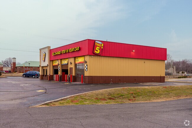
6635 S Elm Pl W
Tulsa
Spring Creek Plaza
Tulsa, OK
LOT 3 BLOCK 1
81196-74-02-30320
Tulsa
Publicstorage
Oklahoma
2025
3
2025
2.77 AC
007522
Southeast Tulsa
60,575 SF
DEMOGRAPHICS near 6635 S Elm Pl W
1 Mile
3 Mile
5 Mile
2024 Total Population
7,560
38,748
92,351
2029 Population
7,816
40,247
96,393
Pop Growth 2024-2029
+ 3.39%
+ 3.87%
+ 4.38%
Average Age
40
39
39
2024 Total Households
2,898
14,577
34,271
HH Growth 2024-2029
+ 3.38%
+ 3.86%
+ 4.36%
Median Household Inc
$88,141
$80,601
$84,007
Avg Household Size
2.60
2.60
2.70
2024 Avg HH Vehicles
2.00
2.00
2.00
Median Home Value
$195,665
$210,357
$221,042
Median Year Built
1984
1987
1988
Nearby Places
Map Layers
Map Styles
 Street
 Aerial
- Restaurants
- Banks
- Shops
- Fitness
- Groceries
PUBLIC TRANSPORTATION
AIRPORT
Tulsa International
DRIVE
WALK
Distance
Tulsa International
30 min
21.3 mi
Freight Ports
Tulsa Port of Inola
DRIVE
WALK
Distance
Tulsa Port of Inola
37 min
30.3 mi
SALE & LEASE HISTORY
LISTING DATE
SALE/LEASE

Feb 01, 2023
For Lease
Nearby Properties
Address
Land Use
TOTAL SIZE
Lot Size
Zoning
Address
Land Use
TOTAL SIZE
Lot Size
Zoning
390,154 SF
52.94 AC
A1
Address
Land Use
TOTAL SIZE
Lot Size
Zoning
90,533 SF
29.41 AC
A1
Address
Land Use
TOTAL SIZE
Lot Size
Zoning
37.23 AC
A1
Address
Land Use
TOTAL SIZE
Lot Size
Zoning
21,301 SF
3.94 AC
CN
Address
Land Use
TOTAL SIZE
Lot Size
Zoning
35,954 SF
27.97 AC
CN
Address
Land Use
TOTAL SIZE
Lot Size
Zoning
67,490 SF
5.40 AC
RM
Address
Land Use
TOTAL SIZE
Lot Size
Zoning
Address
Land Use
TOTAL SIZE
Lot Size
Zoning
39,733 SF
9.36 AC
A1
Address
Land Use
TOTAL SIZE
Lot Size
Zoning
55,185 SF
4.83 AC
NCU
Address
Land Use
TOTAL SIZE
Lot Size
Zoning
71,143 SF
4.43 AC
R1
Address
Land Use
TOTAL SIZE
Lot Size
Zoning
245,436 SF
12.21 AC
RM
Address
Land Use
TOTAL SIZE
Lot Size
Zoning
33,669 SF
4.64 AC
A1
Address
Land Use
TOTAL SIZE
Lot Size
Zoning
28,303 SF
16.76 AC
CN
Address
Land Use
TOTAL SIZE
Lot Size
Zoning
3,300 SF
40 AC
A1
Address
Land Use
TOTAL SIZE
Lot Size
Zoning
11,800 SF
2.45 AC
A1
Address
Land Use
TOTAL SIZE
Lot Size
Zoning
222,536 SF
11.31 AC
CN
Address
Land Use
TOTAL SIZE
Lot Size
Zoning
28,226 SF
8.26 AC
CN
Address
Land Use
TOTAL SIZE
Lot Size
Zoning
136,434 SF
19.20 AC
Address
Land Use
TOTAL SIZE
Lot Size
Zoning
30,482 SF
4.43 AC
R1
Address
Land Use
TOTAL SIZE
Lot Size
Zoning
27,531 SF
4.46 AC
R2
Address
Land Use
TOTAL SIZE
Lot Size
Zoning
11,261 SF
2.85 AC
CN
Address
Land Use
TOTAL SIZE
Lot Size
Zoning
Address
Land Use
TOTAL SIZE
Lot Size
Zoning
279,632 SF
14.54 AC
RM
Address
Land Use
TOTAL SIZE
Lot Size
Zoning
33,181 SF
4.54 AC
R1
Address
Land Use
TOTAL SIZE
Lot Size
Zoning
11,100 SF
5.30 AC
R1
Address
Land Use
TOTAL SIZE
Lot Size
Zoning
9,689 SF
101.01 AC
R2
Address
Land Use
TOTAL SIZE
Lot Size
Zoning
11,923 SF
6.11 AC
A1
Address
Land Use
TOTAL SIZE
Lot Size
Zoning
210,976 SF
22.52 AC
CG
Address
Land Use
TOTAL SIZE
Lot Size
Zoning
25,615 SF
4.62 AC
A1
Address
Land Use
TOTAL SIZE
Lot Size
Zoning
24,830 SF
5.15 AC
R2
The World's #1 Commercial Real Estate Marketplace
Connect with us
© 2026 CoStar Group
The information above has been obtained from sources believed reliable. While we do not doubt its accuracy we have not verified it and make no guarantee, warranty or representation about it. It is your responsibility to independently confirm its accuracy and completeness. Any projections, opinions, assumptions, or estimates used are for example only and do not represent the current or future performance of the property. The value of this transaction to you depends on tax and other factors which should be evaluated by your tax, financial, and legal advisors. You and your advisors should conduct a careful, independent investigation of the property to determine to your satisfaction the suitability of the property for your needs.