Property Record
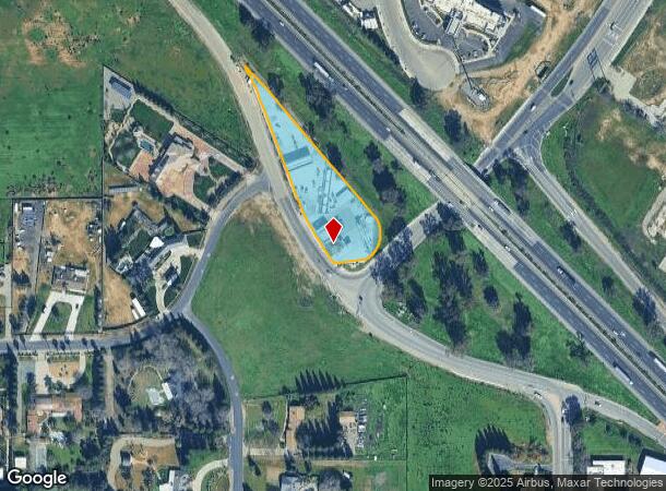
6639 N Parkway Dr, Fresno, CA 93722


NEARBY LISTINGS FOR SALE OR LEASE
Property Detail
6639 N Parkway Dr
Fresno, CA
Jc Forkner Fig Garden Sub #10
504-060-36S
SUR RT IN LTS 88-91 J C FRKNR FG GDN 10/SC 5 13/19
Commercialnec
Fresno
X
California
06019C1535H
89
2025
1.35 AC
2025
West Fresno
004218
Fresno
2,399 SF
DEMOGRAPHICS near 6639 N Parkway Dr
1 Mile
3 Mile
5 Mile
2024 Total Population
4,844
49,554
110,535
2029 Population
4,921
50,960
113,196
Pop Growth 2024-2029
+ 1.59%
+ 2.84%
+ 2.41%
Average Age
37
36
37
2024 Total Households
1,446
15,424
36,176
HH Growth 2024-2029
+ 1.52%
+ 2.75%
+ 2.39%
Median Household Inc
$105,792
$88,519
$78,350
Avg Household Size
3.30
3.10
3.00
2024 Avg HH Vehicles
3.00
2.00
2.00
Median Home Value
$425,987
$364,510
$353,213
Median Year Built
2006
1998
1992
Nearby Places
Map Layers
Map Styles
 Street
 Aerial
- Restaurants
- Banks
- Shops
- Fitness
- Groceries
PUBLIC TRANSPORTATION
AIRPORT
Fresno Yosemite International
DRIVE
WALK
Distance
Fresno Yosemite International
21 min
12.9 mi
Freight Ports
Port of Stockton
DRIVE
WALK
Distance
Port of Stockton
139 min
117.6 mi
Nearby Properties
Address
Land Use
TOTAL SIZE
Lot Size
Zoning
Address
Land Use
TOTAL SIZE
Lot Size
Zoning
197,659 SF
11.80 AC
CC
Address
Land Use
TOTAL SIZE
Lot Size
Zoning
278,502 SF
19.42 AC
SPLIT
Address
Land Use
TOTAL SIZE
Lot Size
Zoning
82,970 SF
8.19 AC
CR
Address
Land Use
TOTAL SIZE
Lot Size
Zoning
54,758 SF
8 AC
AE5
Address
Land Use
TOTAL SIZE
Lot Size
Zoning
150,437 SF
14.72 AC
SPLIT
Address
Land Use
TOTAL SIZE
Lot Size
Zoning
139,072 SF
11.15 AC
C3
Address
Land Use
TOTAL SIZE
Lot Size
Zoning
83,026 SF
5.02 AC
RM1
Address
Land Use
TOTAL SIZE
Lot Size
Zoning
92,279 SF
0.01 AC
CM
Address
Land Use
TOTAL SIZE
Lot Size
Zoning
83,800 SF
4.04 AC
R2
Address
Land Use
TOTAL SIZE
Lot Size
Zoning
128,386 SF
8.30 AC
R2
Address
Land Use
TOTAL SIZE
Lot Size
Zoning
57,445 SF
5.81 AC
Address
Land Use
TOTAL SIZE
Lot Size
Zoning
111,285 SF
10 AC
R1
Address
Land Use
TOTAL SIZE
Lot Size
Zoning
55,200 SF
3.73 AC
RM1
Address
Land Use
TOTAL SIZE
Lot Size
Zoning
103,332 SF
6.63 AC
R2
Address
Land Use
TOTAL SIZE
Lot Size
Zoning
79,563 SF
5.72 AC
CR
Address
Land Use
TOTAL SIZE
Lot Size
Zoning
132,690 SF
7.86 AC
RA
Address
Land Use
TOTAL SIZE
Lot Size
Zoning
55,934 SF
3.95 AC
Address
Land Use
TOTAL SIZE
Lot Size
Zoning
60,000 SF
5.05 AC
CR
Address
Land Use
TOTAL SIZE
Lot Size
Zoning
104,157 SF
6.68 AC
R2
Address
Land Use
TOTAL SIZE
Lot Size
Zoning
50,415 SF
4.18 AC
CR
Address
Land Use
TOTAL SIZE
Lot Size
Zoning
23,125 SF
1.78 AC
Address
Land Use
TOTAL SIZE
Lot Size
Zoning
40,340 SF
4.08 AC
CP
Address
Land Use
TOTAL SIZE
Lot Size
Zoning
38,584 SF
0.01 AC
PI/UGM
Address
Land Use
TOTAL SIZE
Lot Size
Zoning
76,986 SF
4.81 AC
R2
Address
Land Use
TOTAL SIZE
Lot Size
Zoning
75,144 SF
3.90 AC
R3
Address
Land Use
TOTAL SIZE
Lot Size
Zoning
210,225 SF
18.86 AC
SL
Address
Land Use
TOTAL SIZE
Lot Size
Zoning
49,144 SF
1.63 AC
CM
Address
Land Use
TOTAL SIZE
Lot Size
Zoning
39,485 SF
3.18 AC
M1
Address
Land Use
TOTAL SIZE
Lot Size
Zoning
6.35 AC
The World's #1 Commercial Real Estate Marketplace
Connect with us
© 2025 CoStar Group
The information above has been obtained from sources believed reliable. While we do not doubt its accuracy we have not verified it and make no guarantee, warranty or representation about it. It is your responsibility to independently confirm its accuracy and completeness. Any projections, opinions, assumptions, or estimates used are for example only and do not represent the current or future performance of the property. The value of this transaction to you depends on tax and other factors which should be evaluated by your tax, financial, and legal advisors. You and your advisors should conduct a careful, independent investigation of the property to determine to your satisfaction the suitability of the property for your needs.