Property Record
665 Warwick Tpke, Hewitt, NJ 07421


Property Detail
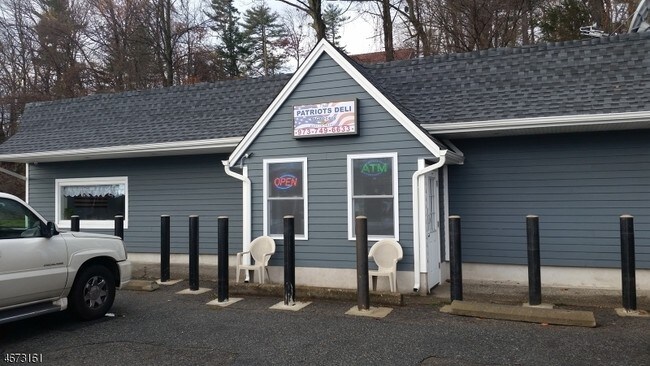
665 Warwick Tpke
New York-Jersey City-White Plains, NY-NJ
Passaic
15-00905-0000-00018
New Jersey
Storebuilding
18
B and X Area of moderate flood hazard, usually the area between the limits of the 100-year and 500-year floods.
0.58 AC
2024
Upper Suburban Passaic
2025
Northern New Jersey
256801
NEARBY LISTINGS FOR SALE OR LEASE
-
-
View all Hewitt listings for sale on LoopNet.com
DEMOGRAPHICS near 665 Warwick Tpke
1 mile
3 mile
5 mile
2025 Total Population
3,797
10,509
29,971
2030 Population
4,034
11,075
31,310
Pop Growth 2025-2030
+ 6.24%
+ 5.39%
+ 4.47%
Average Age
43
44
45
2025 Total Households
1,475
4,111
11,704
HH Growth 2025-2030
+ 6.17%
+ 5.35%
+ 4.61%
Median Household Inc
$117,626
$119,826
$114,985
Avg Household Size
2.50
2.50
2.50
2025 Avg HH Vehicles
2.00
2.00
2.00
Median Home Value
$390,142
$365,993
$379,921
Median Year Built
1972
1973
1973
Nearby Places
Map Layers
Map Styles
 Street
 Aerial
Layers
 Traffic
 Biking
Places
Listings with unknown addresses are not visible on the map
- Restaurants
- Banks
- Shops
- Fitness
- Groceries
PUBLIC TRANSPORTATION
AIRPORT
New York Stewart International
Drive
Walk
Distance
New York Stewart International
56 min
33.8 mi
Freight Ports
Port Newark Container Terminal
Drive
Walk
Distance
Port Newark Container Terminal
71 min
49.3 mi
SALE & LEASE HISTORY
LISTING DATE
SALE/LEASE

May 30, 2017
For Sale
Jan 30, 2017
For Lease
Jan 03, 2017
For Sale
Jan 03, 2017
For Sale
Feb 27, 2017
For Sale
Nearby Properties
Address
Land Use
TOTAL SIZE
Lot Size
Zoning
Address
Land Use
TOTAL SIZE
Lot Size
Zoning
1,980.99 AC
Address
Land Use
TOTAL SIZE
Lot Size
Zoning
1,486.31 AC
Address
Land Use
TOTAL SIZE
Lot Size
Zoning
1,854.80 AC
Address
Land Use
TOTAL SIZE
Lot Size
Zoning
Address
Land Use
TOTAL SIZE
Lot Size
Zoning
2,056 SF
2,729.93 AC
Address
Land Use
TOTAL SIZE
Lot Size
Zoning
1,344 SF
36.33 AC
Address
Land Use
TOTAL SIZE
Lot Size
Zoning
15 AC
Address
Land Use
TOTAL SIZE
Lot Size
Zoning
Address
Land Use
TOTAL SIZE
Lot Size
Zoning
Address
Land Use
TOTAL SIZE
Lot Size
Zoning
276.91 AC
Address
Land Use
TOTAL SIZE
Lot Size
Zoning
527 AC
P
Address
Land Use
TOTAL SIZE
Lot Size
Zoning
220.45 AC
Address
Land Use
TOTAL SIZE
Lot Size
Zoning
6.60 AC
Address
Land Use
TOTAL SIZE
Lot Size
Zoning
25,485 SF
10.23 AC
Address
Land Use
TOTAL SIZE
Lot Size
Zoning
3.25 AC
Address
Land Use
TOTAL SIZE
Lot Size
Zoning
1.66 AC
Address
Land Use
TOTAL SIZE
Lot Size
Zoning
17,400 SF
6.04 AC
LI
Address
Land Use
TOTAL SIZE
Lot Size
Zoning
1,812 SF
219.25 AC
LI
Address
Land Use
TOTAL SIZE
Lot Size
Zoning
239.15 AC
Address
Land Use
TOTAL SIZE
Lot Size
Zoning
Address
Land Use
TOTAL SIZE
Lot Size
Zoning
203.21 AC
P
Address
Land Use
TOTAL SIZE
Lot Size
Zoning
197.78 AC
Address
Land Use
TOTAL SIZE
Lot Size
Zoning
3,689 SF
4 AC
Address
Land Use
TOTAL SIZE
Lot Size
Zoning
14,360 SF
4.83 AC
C1
Address
Land Use
TOTAL SIZE
Lot Size
Zoning
163.47 AC
Address
Land Use
TOTAL SIZE
Lot Size
Zoning
13.62 AC
Address
Land Use
TOTAL SIZE
Lot Size
Zoning
Address
Land Use
TOTAL SIZE
Lot Size
Zoning
Address
Land Use
TOTAL SIZE
Lot Size
Zoning
2.53 AC
Address
Land Use
TOTAL SIZE
Lot Size
Zoning
49,061 SF
85 AC
00230
The World's #1 Commercial Real Estate Marketplace
Connect with us
© 2026 CoStar Group
The information above has been obtained from sources believed reliable. While we do not doubt its accuracy we have not verified it and make no guarantee, warranty or representation about it. It is your responsibility to independently confirm its accuracy and completeness. Any projections, opinions, assumptions, or estimates used are for example only and do not represent the current or future performance of the property. The value of this transaction to you depends on tax and other factors which should be evaluated by your tax, financial, and legal advisors. You and your advisors should conduct a careful, independent investigation of the property to determine to your satisfaction the suitability of the property for your needs.