Property Record
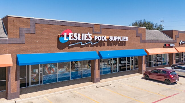
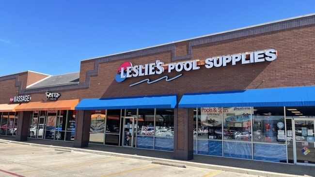
6651 Watauga Rd, Watauga, TX 76148


Property Detail
6651 Watauga Rd
Dallas-Fort Worth-Arlington, TX
SINGING HILLS ADDITION BLOCK 3 LOT 26R1
41510127
Tarrant
Commercialnec
Texas
B and X Area of moderate flood hazard, usually the area between the limits of the 100-year and 500-year floods.
26
2024
2.02 AC
2025
Watauga/Keller/NRH
113809
Dallas/Ft Worth
27,175 SF
NEARBY LISTINGS FOR SALE OR LEASE
-
-
-
-
-
-
-
-
-
No Photo
-
-
-
-
-
-
-
View all Watauga listings for lease on LoopNet.com
DEMOGRAPHICS near 6651 Watauga Rd
1 mile
3 mile
5 mile
2025 Total Population
16,145
130,864
307,461
2030 Population
16,908
136,946
321,695
Pop Growth 2025-2030
+ 4.73%
+ 4.65%
+ 4.63%
Average Age
39
39
39
2025 Total Households
5,875
48,825
112,702
HH Growth 2025-2030
+ 4.92%
+ 4.84%
+ 4.82%
Median Household Inc
$88,762
$88,666
$92,377
Avg Household Size
2.70
2.60
2.70
2025 Avg HH Vehicles
2.00
2.00
2.00
Median Home Value
$272,707
$321,036
$345,788
Median Year Built
1983
1988
1990
Nearby Places
Map Layers
Map Styles
 Street
 Aerial
Layers
 Traffic
 Biking
Places
Listings with unknown addresses are not visible on the map
- Restaurants
- Banks
- Shops
- Fitness
- Groceries
PUBLIC TRANSPORTATION
COMMUTER RAIL
Drive
Walk
Distance
11 min
5.8 mi
Drive
Walk
Distance
16 min
8.8 mi
AIRPORT
Dallas-Fort Worth International
Drive
Walk
Distance
Dallas-Fort Worth International
27 min
18.5 mi
Dallas Love Field
Drive
Walk
Distance
Dallas Love Field
38 min
27.2 mi
SALE & LEASE HISTORY
LISTING DATE
SALE/LEASE

Oct 23, 2017
For Lease
Nearby Properties
Address
Land Use
TOTAL SIZE
Lot Size
Zoning
Address
Land Use
TOTAL SIZE
Lot Size
Zoning
547,836 SF
2 AC
Address
Land Use
TOTAL SIZE
Lot Size
Zoning
332,094 SF
19.33 AC
Address
Land Use
TOTAL SIZE
Lot Size
Zoning
285,754 SF
69.41 AC
Address
Land Use
TOTAL SIZE
Lot Size
Zoning
381,000 SF
8.74 AC
Address
Land Use
TOTAL SIZE
Lot Size
Zoning
350,153 SF
19.73 AC
Address
Land Use
TOTAL SIZE
Lot Size
Zoning
521,150 SF
92.05 AC
Address
Land Use
TOTAL SIZE
Lot Size
Zoning
388,447 SF
9.47 AC
Address
Land Use
TOTAL SIZE
Lot Size
Zoning
327,325 SF
16.87 AC
Address
Land Use
TOTAL SIZE
Lot Size
Zoning
174,596 SF
11.91 AC
Address
Land Use
TOTAL SIZE
Lot Size
Zoning
318,602 SF
9.90 AC
Address
Land Use
TOTAL SIZE
Lot Size
Zoning
368,751 SF
19.97 AC
Address
Land Use
TOTAL SIZE
Lot Size
Zoning
293,972 SF
17.30 AC
Address
Land Use
TOTAL SIZE
Lot Size
Zoning
301,972 SF
19.32 AC
Address
Land Use
TOTAL SIZE
Lot Size
Zoning
266,403 SF
16.67 AC
Address
Land Use
TOTAL SIZE
Lot Size
Zoning
348,941 SF
22.25 AC
Address
Land Use
TOTAL SIZE
Lot Size
Zoning
240,154 SF
6.92 AC
Address
Land Use
TOTAL SIZE
Lot Size
Zoning
296,724 SF
17.58 AC
Address
Land Use
TOTAL SIZE
Lot Size
Zoning
261,579 SF
30.93 AC
Address
Land Use
TOTAL SIZE
Lot Size
Zoning
237,551 SF
4.39 AC
Address
Land Use
TOTAL SIZE
Lot Size
Zoning
241,064 SF
12.63 AC
Address
Land Use
TOTAL SIZE
Lot Size
Zoning
307,568 SF
13.13 AC
Address
Land Use
TOTAL SIZE
Lot Size
Zoning
197,964 SF
4.57 AC
Address
Land Use
TOTAL SIZE
Lot Size
Zoning
248,166 SF
12.05 AC
Address
Land Use
TOTAL SIZE
Lot Size
Zoning
235,530 SF
13.21 AC
Address
Land Use
TOTAL SIZE
Lot Size
Zoning
221,591 SF
14.50 AC
Address
Land Use
TOTAL SIZE
Lot Size
Zoning
245,684 SF
18.11 AC
Address
Land Use
TOTAL SIZE
Lot Size
Zoning
187,236 SF
9.85 AC
Address
Land Use
TOTAL SIZE
Lot Size
Zoning
130,253 SF
17.92 AC
Address
Land Use
TOTAL SIZE
Lot Size
Zoning
151,023 SF
5.18 AC
Address
Land Use
TOTAL SIZE
Lot Size
Zoning
176,242 SF
11.59 AC
The World's #1 Commercial Real Estate Marketplace
Connect with us
© 2026 CoStar Group
The information above has been obtained from sources believed reliable. While we do not doubt its accuracy we have not verified it and make no guarantee, warranty or representation about it. It is your responsibility to independently confirm its accuracy and completeness. Any projections, opinions, assumptions, or estimates used are for example only and do not represent the current or future performance of the property. The value of this transaction to you depends on tax and other factors which should be evaluated by your tax, financial, and legal advisors. You and your advisors should conduct a careful, independent investigation of the property to determine to your satisfaction the suitability of the property for your needs.