Property Record
67 Timber Ct, Highland, NY 12528


Property Detail
67 Timber Ct
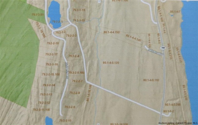
2200-079.002-0002-004.000-0000
ULSTER
Residentialacreage
New York
R40
4.000
B and X Area of moderate flood hazard, usually the area between the limits of the 100-year and 500-year floods.
2.70 AC
2025
Newburgh/Kingston
2025
Other Market Areas
953700
Kingston, NY
NEARBY LISTINGS FOR SALE OR LEASE
-
-
View all Highland listings for sale on LoopNet.com
DEMOGRAPHICS near 67 Timber Ct
1 mile
3 mile
5 mile
2025 Total Population
237
7,286
31,535
2030 Population
228
7,265
31,611
Pop Growth 2025-2030
(3.80%)
(0.29%)
+ 0.24%
Average Age
42
44
41
2025 Total Households
55
2,928
10,638
HH Growth 2025-2030
(5.45%)
(0.31%)
+ 0.08%
Median Household Inc
$102,206
$82,928
$92,147
Avg Household Size
2.40
2.20
2.30
2025 Avg HH Vehicles
2.00
2.00
2.00
Median Home Value
$362,499
$320,393
$328,883
Median Year Built
1961
1962
1968
Nearby Places
Map Layers
Map Styles
 Street
 Aerial
Layers
 Traffic
 Biking
Places
Listings with unknown addresses are not visible on the map
- Restaurants
- Banks
- Shops
- Fitness
- Groceries
PUBLIC TRANSPORTATION
AIRPORT
New York Stewart International
Drive
Walk
Distance
New York Stewart International
41 min
27.7 mi
SALE & LEASE HISTORY
LISTING DATE
SALE/LEASE

Sep 04, 2017
For Sale
Nearby Properties
Address
Land Use
TOTAL SIZE
Lot Size
Zoning
Address
Land Use
TOTAL SIZE
Lot Size
Zoning
15.50 AC
N
Address
Land Use
TOTAL SIZE
Lot Size
Zoning
23,195 SF
142.20 AC
RF1
Address
Land Use
TOTAL SIZE
Lot Size
Zoning
5,665 SF
510.60 AC
R40
Address
Land Use
TOTAL SIZE
Lot Size
Zoning
53,841 SF
195.70 AC
WF
Address
Land Use
TOTAL SIZE
Lot Size
Zoning
14,786 SF
24.80 AC
R40
Address
Land Use
TOTAL SIZE
Lot Size
Zoning
59,424 SF
15.41 AC
TCHD
Address
Land Use
TOTAL SIZE
Lot Size
Zoning
97,100 SF
5.80 AC
LI
Address
Land Use
TOTAL SIZE
Lot Size
Zoning
132,561 SF
15 AC
TCHD
Address
Land Use
TOTAL SIZE
Lot Size
Zoning
21,440 SF
33.20 AC
WF
Address
Land Use
TOTAL SIZE
Lot Size
Zoning
108,714 SF
64.17 AC
N
Address
Land Use
TOTAL SIZE
Lot Size
Zoning
49,334 SF
16.30 AC
WF
Address
Land Use
TOTAL SIZE
Lot Size
Zoning
47,524 SF
13 AC
N
Address
Land Use
TOTAL SIZE
Lot Size
Zoning
123,407 SF
7.71 AC
NC
Address
Land Use
TOTAL SIZE
Lot Size
Zoning
11,483 SF
15.25 AC
NC
Address
Land Use
TOTAL SIZE
Lot Size
Zoning
30,114 SF
23.40 AC
WF
Address
Land Use
TOTAL SIZE
Lot Size
Zoning
52,509 SF
14.28 AC
TCHD
Address
Land Use
TOTAL SIZE
Lot Size
Zoning
9,325 SF
4 AC
GC
Address
Land Use
TOTAL SIZE
Lot Size
Zoning
371.40 AC
R1
Address
Land Use
TOTAL SIZE
Lot Size
Zoning
3,696 SF
13.70 AC
R40
Address
Land Use
TOTAL SIZE
Lot Size
Zoning
27,597 SF
8.76 AC
R40
Address
Land Use
TOTAL SIZE
Lot Size
Zoning
60.60 AC
WF
Address
Land Use
TOTAL SIZE
Lot Size
Zoning
17,982 SF
21.36 AC
EPBD
Address
Land Use
TOTAL SIZE
Lot Size
Zoning
10.70 AC
WF
Address
Land Use
TOTAL SIZE
Lot Size
Zoning
32,872 SF
8.30 AC
TCHD
Address
Land Use
TOTAL SIZE
Lot Size
Zoning
94 AC
R60
Address
Land Use
TOTAL SIZE
Lot Size
Zoning
15,250 SF
1.30 AC
CC
Address
Land Use
TOTAL SIZE
Lot Size
Zoning
53,412 SF
7.50 AC
NC
Address
Land Use
TOTAL SIZE
Lot Size
Zoning
52.30 AC
WF
Address
Land Use
TOTAL SIZE
Lot Size
Zoning
7,122 SF
27.30 AC
R40
Address
Land Use
TOTAL SIZE
Lot Size
Zoning
6,016 SF
12.50 AC
R40
The World's #1 Commercial Real Estate Marketplace
Connect with us
© 2026 CoStar Group
The information above has been obtained from sources believed reliable. While we do not doubt its accuracy we have not verified it and make no guarantee, warranty or representation about it. It is your responsibility to independently confirm its accuracy and completeness. Any projections, opinions, assumptions, or estimates used are for example only and do not represent the current or future performance of the property. The value of this transaction to you depends on tax and other factors which should be evaluated by your tax, financial, and legal advisors. You and your advisors should conduct a careful, independent investigation of the property to determine to your satisfaction the suitability of the property for your needs.