Property Record
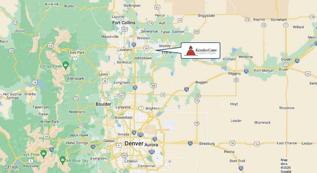
6700 29Th St Rd, Greeley, CO 80634


Property Detail
6700 29Th St Rd
Greeley, CO
St Michaels Town Center 1St Rplt
R4793707
GR 1STMTC L1 BLK10 ST MICHAELS TOWN CENTER 1ST REPLT
Commercialnec
Weld
X
Colorado
08123C1518E
1
2024
1.15 AC
2025
Greeley
001406
Denver
11,279 SF
NEARBY LISTINGS FOR SALE OR LEASE
DEMOGRAPHICS near 6700 29Th St Rd
1 mile
3 mile
5 mile
2024 Total Population
5,398
47,190
119,227
2029 Population
6,345
55,822
140,395
Pop Growth 2024-2029
+ 17.54%
+ 18.29%
+ 17.75%
Average Age
38
39
37
2024 Total Households
1,996
17,813
43,035
HH Growth 2024-2029
+ 18.09%
+ 18.88%
+ 18.44%
Median Household Inc
$106,197
$88,660
$74,528
Avg Household Size
2.70
2.60
2.70
2024 Avg HH Vehicles
2.00
2.00
2.00
Median Home Value
$409,574
$396,800
$352,430
Median Year Built
2005
2002
1993
Nearby Places
Map Layers
Map Styles
 Street
 Aerial
Transit
 Traffic
 Biking
Places
Listings with unknown addresses are not visible on the map
- Restaurants
- Banks
- Shops
- Fitness
- Groceries
SALE & LEASE HISTORY
LISTING DATE
SALE/LEASE

Jun 05, 2024
For Sale
Nearby Properties
Address
Land Use
TOTAL SIZE
Lot Size
Zoning
Address
Land Use
TOTAL SIZE
Lot Size
Zoning
315,937 SF
22.73 AC
Address
Land Use
TOTAL SIZE
Lot Size
Zoning
280,000 SF
43.91 AC
Address
Land Use
TOTAL SIZE
Lot Size
Zoning
46,025 SF
5.32 AC
Address
Land Use
TOTAL SIZE
Lot Size
Zoning
142,317 SF
34.34 AC
Address
Land Use
TOTAL SIZE
Lot Size
Zoning
67,456 SF
40.89 AC
Address
Land Use
TOTAL SIZE
Lot Size
Zoning
151,418 SF
16.96 AC
Address
Land Use
TOTAL SIZE
Lot Size
Zoning
611,456 SF
29.25 AC
Address
Land Use
TOTAL SIZE
Lot Size
Zoning
146,843 SF
12.80 AC
Address
Land Use
TOTAL SIZE
Lot Size
Zoning
118,663 SF
13.36 AC
Address
Land Use
TOTAL SIZE
Lot Size
Zoning
138,446 SF
14.40 AC
Address
Land Use
TOTAL SIZE
Lot Size
Zoning
101,963 SF
45.74 AC
Address
Land Use
TOTAL SIZE
Lot Size
Zoning
88,284 SF
5.80 AC
Address
Land Use
TOTAL SIZE
Lot Size
Zoning
214,594 SF
22.70 AC
Address
Land Use
TOTAL SIZE
Lot Size
Zoning
289,203 SF
12.28 AC
Address
Land Use
TOTAL SIZE
Lot Size
Zoning
437,527 SF
17.54 AC
Address
Land Use
TOTAL SIZE
Lot Size
Zoning
105,705 SF
9.24 AC
Address
Land Use
TOTAL SIZE
Lot Size
Zoning
5,731 SF
77 AC
Address
Land Use
TOTAL SIZE
Lot Size
Zoning
252,025 SF
10.15 AC
Address
Land Use
TOTAL SIZE
Lot Size
Zoning
405,388 SF
17.36 AC
Address
Land Use
TOTAL SIZE
Lot Size
Zoning
125,372 SF
11.40 AC
Address
Land Use
TOTAL SIZE
Lot Size
Zoning
80,202 SF
6 AC
Address
Land Use
TOTAL SIZE
Lot Size
Zoning
48,544 SF
7.92 AC
Address
Land Use
TOTAL SIZE
Lot Size
Zoning
71,614 SF
5.99 AC
Address
Land Use
TOTAL SIZE
Lot Size
Zoning
58,754 SF
5.77 AC
Address
Land Use
TOTAL SIZE
Lot Size
Zoning
240,821 SF
14.53 AC
Address
Land Use
TOTAL SIZE
Lot Size
Zoning
45,141 SF
12.15 AC
Address
Land Use
TOTAL SIZE
Lot Size
Zoning
75,376 SF
11.70 AC
Address
Land Use
TOTAL SIZE
Lot Size
Zoning
133,978 SF
12.51 AC
Address
Land Use
TOTAL SIZE
Lot Size
Zoning
22,012 SF
3.30 AC
Address
Land Use
TOTAL SIZE
Lot Size
Zoning
184,724 SF
7.21 AC
The World's #1 Commercial Real Estate Marketplace
Connect with us
© 2026 CoStar Group
The information above has been obtained from sources believed reliable. While we do not doubt its accuracy we have not verified it and make no guarantee, warranty or representation about it. It is your responsibility to independently confirm its accuracy and completeness. Any projections, opinions, assumptions, or estimates used are for example only and do not represent the current or future performance of the property. The value of this transaction to you depends on tax and other factors which should be evaluated by your tax, financial, and legal advisors. You and your advisors should conduct a careful, independent investigation of the property to determine to your satisfaction the suitability of the property for your needs.