Property Record
6710 Route 83, Darien, IL 60561

Save to a Folder
{{folder.Name}}
{{folder.ListingIds.length}} Properties
{{folder.ListingIds.length}} Property
Create a New Folder
Property Detail
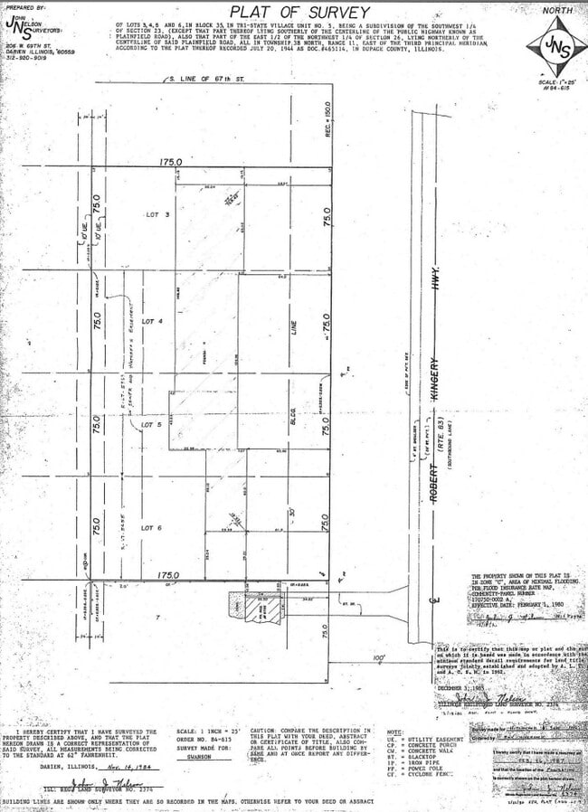
6710 Route 83
Chicago-Naperville-Elgin, IL-IN
TRI STATE VILL UNIT 5
09-23-304-021
DUPAGE
Commercialnec
Illinois
V
5
B and X Area of moderate flood hazard, usually the area between the limits of the 100-year and 500-year floods.
0.30 AC
2024
Eastern East/West Corr
2024
Chicago
845508
NEARBY LISTINGS FOR SALE OR LEASE
DEMOGRAPHICS near 6710 Route 83
1 mile
3 mile
5 mile
2025 Total Population
10,290
102,720
226,848
2030 Population
10,467
104,767
231,099
Pop Growth 2025-2030
+ 1.72%
+ 1.99%
+ 1.87%
Average Age
46
43
43
2025 Total Households
4,554
40,481
87,958
HH Growth 2025-2030
+ 1.65%
+ 1.91%
+ 1.83%
Median Household Inc
$101,603
$113,189
$116,605
Avg Household Size
2.20
2.50
2.50
2025 Avg HH Vehicles
2.00
2.00
2.00
Median Home Value
$381,672
$466,730
$475,768
Median Year Built
1976
1976
1975
Nearby Places
Map Layers
Map Styles
 Street
 Aerial
Layers
 Traffic
 Biking
Places
Listings with unknown addresses are not visible on the map
- Restaurants
- Banks
- Shops
- Fitness
- Groceries
PUBLIC TRANSPORTATION
COMMUTER RAIL
Clarendon Hills Station (Burlington Northern-Santa Fe Railway Line - Northeast Illinois Regional Commuter Railroad (Metra))
Drive
Walk
Distance
Clarendon Hills Station (Burlington Northern-Santa Fe Railway Line - Northeast Illinois Regional Commuter Railroad (Metra))
7 min
3.2 mi
West Hinsdale Station (Burlington Northern-Santa Fe Railway Line - Northeast Illinois Regional Commuter Railroad (Metra))
Drive
Walk
Distance
West Hinsdale Station (Burlington Northern-Santa Fe Railway Line - Northeast Illinois Regional Commuter Railroad (Metra))
9 min
3.9 mi
AIRPORT
Chicago Midway International
Drive
Walk
Distance
Chicago Midway International
19 min
13.4 mi
Chicago O'Hare International
Drive
Walk
Distance
Chicago O'Hare International
32 min
21.8 mi
Freight Ports
Port Milwaukee
Drive
Walk
Distance
Port Milwaukee
113 min
93.5 mi
SALE & LEASE HISTORY
LISTING DATE
SALE/LEASE

Jun 20, 2017
For Lease
Nearby Properties
Address
Land Use
TOTAL SIZE
Lot Size
Zoning
Address
Land Use
TOTAL SIZE
Lot Size
Zoning
439,070 SF
38.77 AC
C
Address
Land Use
TOTAL SIZE
Lot Size
Zoning
470,838 SF
17.13 AC
M
Address
Land Use
TOTAL SIZE
Lot Size
Zoning
183,080 SF
20.86 AC
C
Address
Land Use
TOTAL SIZE
Lot Size
Zoning
368,233 SF
16.12 AC
Address
Land Use
TOTAL SIZE
Lot Size
Zoning
388,561 SF
12.77 AC
Address
Land Use
TOTAL SIZE
Lot Size
Zoning
274,406 SF
17.67 AC
M
Address
Land Use
TOTAL SIZE
Lot Size
Zoning
436,456 SF
59.11 AC
I
Address
Land Use
TOTAL SIZE
Lot Size
Zoning
182,295 SF
21.84 AC
C
Address
Land Use
TOTAL SIZE
Lot Size
Zoning
230,187 SF
15.38 AC
M
Address
Land Use
TOTAL SIZE
Lot Size
Zoning
202,562 SF
16.17 AC
M
Address
Land Use
TOTAL SIZE
Lot Size
Zoning
104,912 SF
6.91 AC
Address
Land Use
TOTAL SIZE
Lot Size
Zoning
108,021 SF
0.89 AC
Address
Land Use
TOTAL SIZE
Lot Size
Zoning
268,566 SF
15.24 AC
M
Address
Land Use
TOTAL SIZE
Lot Size
Zoning
121,968 SF
2.07 AC
Address
Land Use
TOTAL SIZE
Lot Size
Zoning
94,064 SF
8.55 AC
Address
Land Use
TOTAL SIZE
Lot Size
Zoning
110,584 SF
5.57 AC
Address
Land Use
TOTAL SIZE
Lot Size
Zoning
23,043 SF
9.85 AC
M
Address
Land Use
TOTAL SIZE
Lot Size
Zoning
203,532 SF
6.85 AC
M
Address
Land Use
TOTAL SIZE
Lot Size
Zoning
146,856 SF
7.18 AC
A
Address
Land Use
TOTAL SIZE
Lot Size
Zoning
111,892 SF
8.69 AC
I
Address
Land Use
TOTAL SIZE
Lot Size
Zoning
22,770 SF
7.48 AC
M
Address
Land Use
TOTAL SIZE
Lot Size
Zoning
113,961 SF
6.94 AC
M
Address
Land Use
TOTAL SIZE
Lot Size
Zoning
8.91 AC
Address
Land Use
TOTAL SIZE
Lot Size
Zoning
195,000 SF
10.18 AC
Address
Land Use
TOTAL SIZE
Lot Size
Zoning
49,503 SF
1.47 AC
Address
Land Use
TOTAL SIZE
Lot Size
Zoning
215,631 SF
23.94 AC
I
Address
Land Use
TOTAL SIZE
Lot Size
Zoning
84,944 SF
6.82 AC
C
Address
Land Use
TOTAL SIZE
Lot Size
Zoning
73,004 SF
7.67 AC
Address
Land Use
TOTAL SIZE
Lot Size
Zoning
128,283 SF
6.89 AC
C
Address
Land Use
TOTAL SIZE
Lot Size
Zoning
52,887 SF
4.64 AC
C
The World's #1 Commercial Real Estate Marketplace
Connect with us
© 2026 CoStar Group
The information above has been obtained from sources believed reliable. While we do not doubt its accuracy we have not verified it and make no guarantee, warranty or representation about it. It is your responsibility to independently confirm its accuracy and completeness. Any projections, opinions, assumptions, or estimates used are for example only and do not represent the current or future performance of the property. The value of this transaction to you depends on tax and other factors which should be evaluated by your tax, financial, and legal advisors. You and your advisors should conduct a careful, independent investigation of the property to determine to your satisfaction the suitability of the property for your needs.