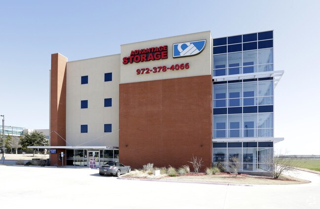
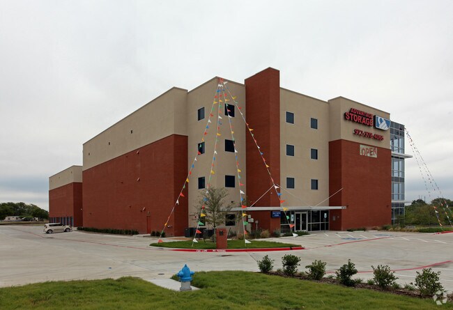
Property Record
6720 Parkwood Blvd, Plano, TX 75024

Property Detail
6720 Parkwood Blvd
R-10053-00A-001R-1
PARKWOOD STORAGE, BLK A, LOT 1R; (REPLAT)
Commercialnec
COLLIN
CE
Texas
AE The base floodplain where base flood elevations are provided. AE Zones are now used on new format FIRMs instead of A1-A30 Zones.
1r
2025
3 AC
2025
Upper Tollway/West Plano
031672
Dallas/Ft Worth
167,307 SF
Dallas-Fort Worth-Arlington, TX
NEARBY LISTINGS FOR SALE OR LEASE
DEMOGRAPHICS near 6720 Parkwood Blvd
1 mile
3 mile
5 mile
2025 Total Population
8,523
115,285
360,077
2030 Population
9,697
130,906
406,708
Pop Growth 2025-2030
+ 13.77%
+ 13.55%
+ 12.95%
Average Age
38
39
40
2025 Total Households
4,584
50,984
149,603
HH Growth 2025-2030
+ 13.83%
+ 13.89%
+ 13.27%
Median Household Inc
$97,916
$115,171
$112,785
Avg Household Size
1.80
2.20
2.40
2025 Avg HH Vehicles
2.00
2.00
2.00
Median Home Value
$816,632
$721,699
$576,004
Median Year Built
2000
2001
1996
Nearby Places
Map Layers
Map Styles
 Street
 Aerial
Layers
 Traffic
 Biking
Places
Listings with unknown addresses are not visible on the map
- Restaurants
- Banks
- Shops
- Fitness
- Groceries
PUBLIC TRANSPORTATION
AIRPORT
Dallas Love Field
Drive
Walk
Distance
Dallas Love Field
27 min
19.4 mi
Dallas-Fort Worth International
Drive
Walk
Distance
Dallas-Fort Worth International
29 min
22.8 mi
Freight Ports
Port of Shreveport
Drive
Walk
Distance
Port of Shreveport
230 min
212.7 mi
Nearby Properties
Address
Land Use
TOTAL SIZE
Lot Size
Zoning
Address
Land Use
TOTAL SIZE
Lot Size
Zoning
1,622,342 SF
48.59 AC
Address
Land Use
TOTAL SIZE
Lot Size
Zoning
1,508,248 SF
49.26 AC
CE
Address
Land Use
TOTAL SIZE
Lot Size
Zoning
779,629 SF
56 AC
Address
Land Use
TOTAL SIZE
Lot Size
Zoning
958,318 SF
9.07 AC
CE
Address
Land Use
TOTAL SIZE
Lot Size
Zoning
1,316,483 SF
47.52 AC
Address
Land Use
TOTAL SIZE
Lot Size
Zoning
1,929,059 SF
55.12 AC
CE
Address
Land Use
TOTAL SIZE
Lot Size
Zoning
558,664 SF
20.14 AC
CE
Address
Land Use
TOTAL SIZE
Lot Size
Zoning
4,575,402 SF
51.93 AC
Address
Land Use
TOTAL SIZE
Lot Size
Zoning
725,987 SF
34.18 AC
CE
Address
Land Use
TOTAL SIZE
Lot Size
Zoning
420,131 SF
3.92 AC
COMM
Address
Land Use
TOTAL SIZE
Lot Size
Zoning
719,177 SF
27.02 AC
O-2
Address
Land Use
TOTAL SIZE
Lot Size
Zoning
426,009 SF
3.60 AC
Address
Land Use
TOTAL SIZE
Lot Size
Zoning
426,009 SF
3.60 AC
Address
Land Use
TOTAL SIZE
Lot Size
Zoning
325,179 SF
4.74 AC
COMM
Address
Land Use
TOTAL SIZE
Lot Size
Zoning
440,034 SF
2.11 AC
CE
Address
Land Use
TOTAL SIZE
Lot Size
Zoning
455,432 SF
2.55 AC
MULTI-FAMI
Address
Land Use
TOTAL SIZE
Lot Size
Zoning
356,196 SF
3.71 AC
CB-1
Address
Land Use
TOTAL SIZE
Lot Size
Zoning
337,550 SF
8.73 AC
Address
Land Use
TOTAL SIZE
Lot Size
Zoning
584,998 SF
23.45 AC
Address
Land Use
TOTAL SIZE
Lot Size
Zoning
333,321 SF
5.80 AC
CE
Address
Land Use
TOTAL SIZE
Lot Size
Zoning
318,230 SF
5.52 AC
Address
Land Use
TOTAL SIZE
Lot Size
Zoning
320,098 SF
20 AC
CE
Address
Land Use
TOTAL SIZE
Lot Size
Zoning
375,848 SF
5.76 AC
Address
Land Use
TOTAL SIZE
Lot Size
Zoning
1,578,500 SF
91.04 AC
Address
Land Use
TOTAL SIZE
Lot Size
Zoning
306,200 SF
4.33 AC
Address
Land Use
TOTAL SIZE
Lot Size
Zoning
518,210 SF
38.11 AC
CE
Address
Land Use
TOTAL SIZE
Lot Size
Zoning
598,569 SF
86.50 AC
Address
Land Use
TOTAL SIZE
Lot Size
Zoning
318,619 SF
5.65 AC
COMM
Address
Land Use
TOTAL SIZE
Lot Size
Zoning
454,511 SF
52.88 AC
COMM
Address
Land Use
TOTAL SIZE
Lot Size
Zoning
401,260 SF
23.33 AC
CE
The World's #1 Commercial Real Estate Marketplace
Connect with us
© 2026 CoStar Group
The information above has been obtained from sources believed reliable. While we do not doubt its accuracy we have not verified it and make no guarantee, warranty or representation about it. It is your responsibility to independently confirm its accuracy and completeness. Any projections, opinions, assumptions, or estimates used are for example only and do not represent the current or future performance of the property. The value of this transaction to you depends on tax and other factors which should be evaluated by your tax, financial, and legal advisors. You and your advisors should conduct a careful, independent investigation of the property to determine to your satisfaction the suitability of the property for your needs.