Property Record
6801 Lowell Blvd, Denver, CO 80221
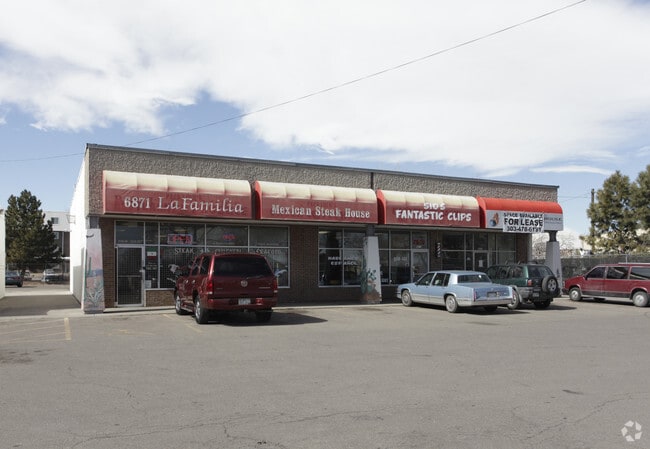

Property Detail
6801 Lowell Blvd
1825-06-1-06-006
Lowell Manor 1St Replat Of
Storebuilding
SECT,TWN,RNG:6-3-68 DESC: PT NE4 OF SEC 6 DESC AS FOL BEG AT E4 COR OF SD SEC TH NLY 261/5 FT TH WLY AND // WITH S LN OF NE4 OF SD SEC 40 FT TO POB TH NLY 94 FT TH WLY 230 FT TH SLY 94 FT TH ELY 230 FT TO POB 0/48A
ARE
Adams
08059C0208F
Colorado
2024
1.06 AC
2025
Northwest
009607
Denver
8,280 SF
Denver-Aurora-Centennial, CO
NEARBY LISTINGS FOR SALE OR LEASE
DEMOGRAPHICS near 6801 Lowell Blvd
1 mile
3 mile
5 mile
2024 Total Population
17,032
130,985
366,913
2029 Population
17,674
133,856
372,956
Pop Growth 2024-2029
+ 3.77%
+ 2.19%
+ 1.65%
Average Age
38
38
38
2024 Total Households
6,423
49,084
151,436
HH Growth 2024-2029
+ 3.83%
+ 2.09%
+ 1.55%
Median Household Inc
$57,722
$69,671
$80,839
Avg Household Size
2.60
2.60
2.30
2024 Avg HH Vehicles
2.00
2.00
2.00
Median Home Value
$430,606
$422,045
$455,293
Median Year Built
1974
1971
1976
Nearby Places
Map Layers
Map Styles
 Street
 Aerial
Transit
 Traffic
 Biking
Places
Listings with unknown addresses are not visible on the map
- Restaurants
- Banks
- Shops
- Fitness
- Groceries
PUBLIC TRANSPORTATION
COMMUTER RAIL
Drive
Walk
Distance
3 min
10 min
0.5 mi
Drive
Walk
Distance
3 min
10 min
0.5 mi
AIRPORT
Denver International
Drive
Walk
Distance
Denver International
36 min
27.0 mi
Nearby Properties
Address
Land Use
TOTAL SIZE
Lot Size
Zoning
Address
Land Use
TOTAL SIZE
Lot Size
Zoning
860,132 SF
68.50 AC
R-5
Address
Land Use
TOTAL SIZE
Lot Size
Zoning
208,500 SF
8.42 AC
Address
Land Use
TOTAL SIZE
Lot Size
Zoning
138,770 SF
4.64 AC
Address
Land Use
TOTAL SIZE
Lot Size
Zoning
138,912 SF
8.71 AC
Address
Land Use
TOTAL SIZE
Lot Size
Zoning
113,385 SF
6.77 AC
Address
Land Use
TOTAL SIZE
Lot Size
Zoning
398,180 SF
33.31 AC
R1C
Address
Land Use
TOTAL SIZE
Lot Size
Zoning
58,750 SF
1.52 AC
Address
Land Use
TOTAL SIZE
Lot Size
Zoning
86,816 SF
4.95 AC
Address
Land Use
TOTAL SIZE
Lot Size
Zoning
305,110 SF
16.87 AC
Address
Land Use
TOTAL SIZE
Lot Size
Zoning
470,539 SF
23.59 AC
Address
Land Use
TOTAL SIZE
Lot Size
Zoning
110,878 SF
4.65 AC
Address
Land Use
TOTAL SIZE
Lot Size
Zoning
105,600 SF
1.31 AC
Address
Land Use
TOTAL SIZE
Lot Size
Zoning
419,745 SF
24.75 AC
Address
Land Use
TOTAL SIZE
Lot Size
Zoning
390,764 SF
20.19 AC
Address
Land Use
TOTAL SIZE
Lot Size
Zoning
65,336 SF
2.86 AC
Address
Land Use
TOTAL SIZE
Lot Size
Zoning
64,106 SF
4.10 AC
Address
Land Use
TOTAL SIZE
Lot Size
Zoning
74,432 SF
4.47 AC
Address
Land Use
TOTAL SIZE
Lot Size
Zoning
283,572 SF
17.76 AC
Address
Land Use
TOTAL SIZE
Lot Size
Zoning
147,009 SF
36.94 AC
I3
Address
Land Use
TOTAL SIZE
Lot Size
Zoning
69,537 SF
4.49 AC
Address
Land Use
TOTAL SIZE
Lot Size
Zoning
6,731 SF
80.77 AC
Address
Land Use
TOTAL SIZE
Lot Size
Zoning
51,312 SF
2.17 AC
PUD
Address
Land Use
TOTAL SIZE
Lot Size
Zoning
62,025 SF
2.49 AC
R4
Address
Land Use
TOTAL SIZE
Lot Size
Zoning
157,724 SF
10.07 AC
Address
Land Use
TOTAL SIZE
Lot Size
Zoning
350,400 SF
19.31 AC
Address
Land Use
TOTAL SIZE
Lot Size
Zoning
436,238 SF
13.94 AC
Address
Land Use
TOTAL SIZE
Lot Size
Zoning
281,777 SF
24.89 AC
I2
Address
Land Use
TOTAL SIZE
Lot Size
Zoning
70,338 SF
2.57 AC
Address
Land Use
TOTAL SIZE
Lot Size
Zoning
176,800 SF
8.81 AC
I-MX-3
Address
Land Use
TOTAL SIZE
Lot Size
Zoning
176,800 SF
8.72 AC
I-MX-3
The World's #1 Commercial Real Estate Marketplace
Connect with us
© 2026 CoStar Group
The information above has been obtained from sources believed reliable. While we do not doubt its accuracy we have not verified it and make no guarantee, warranty or representation about it. It is your responsibility to independently confirm its accuracy and completeness. Any projections, opinions, assumptions, or estimates used are for example only and do not represent the current or future performance of the property. The value of this transaction to you depends on tax and other factors which should be evaluated by your tax, financial, and legal advisors. You and your advisors should conduct a careful, independent investigation of the property to determine to your satisfaction the suitability of the property for your needs.