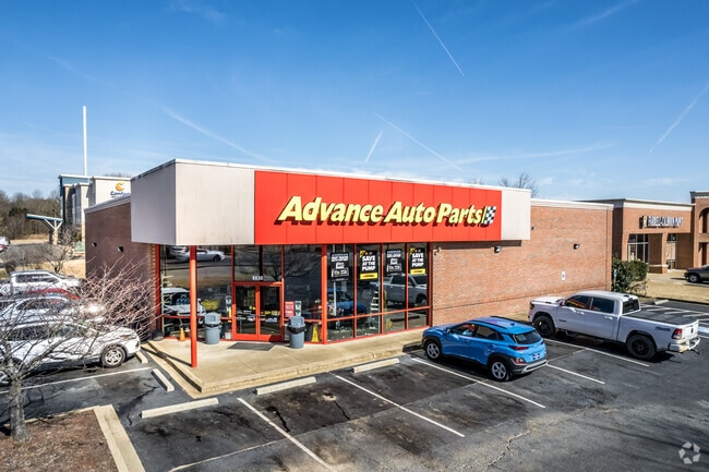
Property Record
6830 Goodman Rd, Olive Branch, MS 38654


Current Lease Availabilities
Property Detail
6830 Goodman Rd
1069301700000100
MARKET AT CHEROKEE VALLEY-WEST LOT 1
Realpropertynec
Desoto
C-4
Mississippi
B and X Area of moderate flood hazard, usually the area between the limits of the 100-year and 500-year floods.
1
2025
0.98 AC
2025
Olive Branch
070723
Memphis
7,056 SF
Memphis, TN-MS-AR
NEARBY LISTINGS FOR SALE OR LEASE
DEMOGRAPHICS near 6830 Goodman Rd
1 mile
3 mile
5 mile
2025 Total Population
4,674
25,338
89,001
2030 Population
4,847
26,348
90,559
Pop Growth 2025-2030
+ 3.70%
+ 3.99%
+ 1.75%
Average Age
41
40
39
2025 Total Households
1,708
9,338
31,651
HH Growth 2025-2030
+ 3.75%
+ 4.01%
+ 1.80%
Median Household Inc
$104,942
$99,840
$90,649
Avg Household Size
2.70
2.70
2.80
2025 Avg HH Vehicles
2.00
2.00
2.00
Median Home Value
$333,913
$321,022
$275,298
Median Year Built
1998
1999
1996
Nearby Places
Map Layers
Map Styles
 Street
 Aerial
Transit
 Traffic
 Biking
Places
Listings with unknown addresses are not visible on the map
- Restaurants
- Banks
- Shops
- Fitness
- Groceries
PUBLIC TRANSPORTATION
AIRPORT
Memphis International
Drive
Walk
Distance
Memphis International
22 min
11.5 mi
The World's #1 Commercial Real Estate Marketplace
Connect with us
© 2026 CoStar Group
The information above has been obtained from sources believed reliable. While we do not doubt its accuracy we have not verified it and make no guarantee, warranty or representation about it. It is your responsibility to independently confirm its accuracy and completeness. Any projections, opinions, assumptions, or estimates used are for example only and do not represent the current or future performance of the property. The value of this transaction to you depends on tax and other factors which should be evaluated by your tax, financial, and legal advisors. You and your advisors should conduct a careful, independent investigation of the property to determine to your satisfaction the suitability of the property for your needs.