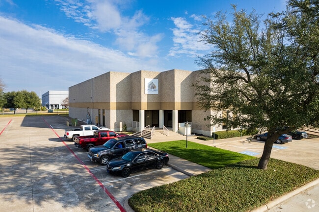
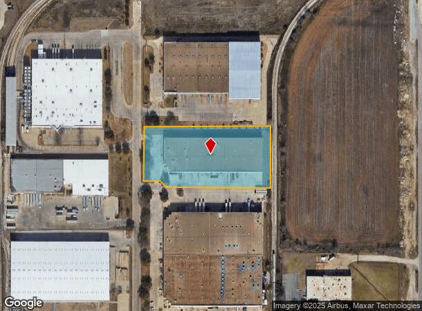
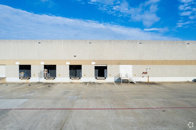
Property Record
6851 Snowden Rd, Fort Worth, TX 76140

NEARBY LISTINGS FOR SALE OR LEASE
Property Detail
6851 Snowden Rd
Dallas-Fort Worth-Arlington, TX
Carter Industrial Park Addn
06099890
CARTER INDUSTRIAL PARK ADDN BLOCK 6A LOT 1C
Commercialnec
Tarrant
X
Texas
48439C0320L
1c
2024
3.91 AC
2025
S Cen.Tarrant Cnty
106002
Dallas/Ft Worth
75,000 SF
DEMOGRAPHICS near 6851 Snowden Rd
1 Mile
3 Mile
5 Mile
2024 Total Population
1,895
78,206
244,078
2029 Population
1,985
82,134
257,681
Pop Growth 2024-2029
+ 4.75%
+ 5.02%
+ 5.57%
Average Age
36
35
35
2024 Total Households
603
23,836
77,364
HH Growth 2024-2029
+ 4.81%
+ 5.07%
+ 5.63%
Median Household Inc
$57,246
$50,680
$54,991
Avg Household Size
3.00
3.10
3.00
2024 Avg HH Vehicles
2.00
2.00
2.00
Median Home Value
$137,605
$159,271
$182,273
Median Year Built
1966
1978
1977
Nearby Places
Map Layers
Map Styles
 Street
 Aerial
- Restaurants
- Banks
- Shops
- Fitness
- Groceries
PUBLIC TRANSPORTATION
COMMUTER RAIL
Texas And Pacific (T&P) (Trinity Railway Express - Dallas Area Rapid Transit (DART))
DRIVE
WALK
Distance
Texas And Pacific (T&P) (Trinity Railway Express - Dallas Area Rapid Transit (DART))
13 min
8.3 mi
DRIVE
WALK
Distance
14 min
8.5 mi
AIRPORT
Dallas-Fort Worth International
DRIVE
WALK
Distance
Dallas-Fort Worth International
44 min
32.6 mi
Dallas Love Field
DRIVE
WALK
Distance
Dallas Love Field
55 min
41.7 mi
Nearby Properties
Address
Land Use
TOTAL SIZE
Lot Size
Zoning
Address
Land Use
TOTAL SIZE
Lot Size
Zoning
661,238 SF
38.80 AC
Address
Land Use
TOTAL SIZE
Lot Size
Zoning
1,623,188 SF
84.13 AC
Address
Land Use
TOTAL SIZE
Lot Size
Zoning
555,914 SF
31.06 AC
Address
Land Use
TOTAL SIZE
Lot Size
Zoning
948,833 SF
64.37 AC
Address
Land Use
TOTAL SIZE
Lot Size
Zoning
343,416 SF
101.49 AC
Address
Land Use
TOTAL SIZE
Lot Size
Zoning
1,052,516 SF
102.74 AC
Address
Land Use
TOTAL SIZE
Lot Size
Zoning
1,129,204 SF
74.34 AC
Address
Land Use
TOTAL SIZE
Lot Size
Zoning
1,402,986 SF
68.89 AC
Address
Land Use
TOTAL SIZE
Lot Size
Zoning
781,200 SF
37.80 AC
Address
Land Use
TOTAL SIZE
Lot Size
Zoning
1,126,017 SF
76.27 AC
Address
Land Use
TOTAL SIZE
Lot Size
Zoning
655,500 SF
38.98 AC
Address
Land Use
TOTAL SIZE
Lot Size
Zoning
660,000 SF
33.91 AC
Address
Land Use
TOTAL SIZE
Lot Size
Zoning
647,228 SF
31.47 AC
Address
Land Use
TOTAL SIZE
Lot Size
Zoning
615,250 SF
32.43 AC
Address
Land Use
TOTAL SIZE
Lot Size
Zoning
593,917 SF
45.85 AC
Address
Land Use
TOTAL SIZE
Lot Size
Zoning
319,017 SF
14.68 AC
Address
Land Use
TOTAL SIZE
Lot Size
Zoning
655,500 SF
35.45 AC
Address
Land Use
TOTAL SIZE
Lot Size
Zoning
193,098 SF
25 AC
Address
Land Use
TOTAL SIZE
Lot Size
Zoning
266,514 SF
14.06 AC
Address
Land Use
TOTAL SIZE
Lot Size
Zoning
615,054 SF
27.49 AC
Address
Land Use
TOTAL SIZE
Lot Size
Zoning
489,679 SF
27.08 AC
Address
Land Use
TOTAL SIZE
Lot Size
Zoning
488,564 SF
29.43 AC
Address
Land Use
TOTAL SIZE
Lot Size
Zoning
181,611 SF
24.44 AC
Address
Land Use
TOTAL SIZE
Lot Size
Zoning
455,000 SF
6 AC
Address
Land Use
TOTAL SIZE
Lot Size
Zoning
147,466 SF
19.19 AC
Address
Land Use
TOTAL SIZE
Lot Size
Zoning
619,649 SF
53.64 AC
Address
Land Use
TOTAL SIZE
Lot Size
Zoning
585,000 SF
28.75 AC
Address
Land Use
TOTAL SIZE
Lot Size
Zoning
224,000 SF
24.35 AC
Address
Land Use
TOTAL SIZE
Lot Size
Zoning
244,871 SF
11.88 AC
Address
Land Use
TOTAL SIZE
Lot Size
Zoning
456,500 SF
29.55 AC
The World's #1 Commercial Real Estate Marketplace
Connect with us
© 2025 CoStar Group
The information above has been obtained from sources believed reliable. While we do not doubt its accuracy we have not verified it and make no guarantee, warranty or representation about it. It is your responsibility to independently confirm its accuracy and completeness. Any projections, opinions, assumptions, or estimates used are for example only and do not represent the current or future performance of the property. The value of this transaction to you depends on tax and other factors which should be evaluated by your tax, financial, and legal advisors. You and your advisors should conduct a careful, independent investigation of the property to determine to your satisfaction the suitability of the property for your needs.