Property Record
6892 W State Highway 29 W, Georgetown, TX 78628
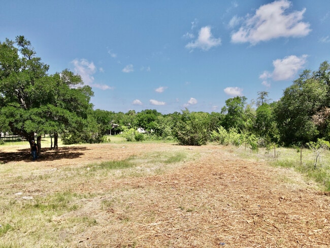

Property Detail
6892 W State Highway 29 W
Austin-Round Rock-San Marcos, TX
AW0005 AW0005 - FISK, G. SUR., ACRES 0.483
R403160
WILLIAMSON
Residentialacreage
Texas
2024
0.48 AC
2025
Georgetown
020120
Austin
806 SF
NEARBY LISTINGS FOR SALE OR LEASE
DEMOGRAPHICS near 6892 W State Highway 29 W
1 mile
3 mile
5 mile
2024 Total Population
3,604
22,235
50,538
2029 Population
4,763
29,003
65,510
Pop Growth 2024-2029
+ 32.16%
+ 30.44%
+ 29.63%
Average Age
38
38
37
2024 Total Households
1,234
7,633
17,448
HH Growth 2024-2029
+ 32.66%
+ 31.02%
+ 30.24%
Median Household Inc
$160,792
$141,796
$126,679
Avg Household Size
2.90
2.90
2.90
2024 Avg HH Vehicles
2.00
2.00
2.00
Median Home Value
$544,658
$526,457
$486,364
Median Year Built
2011
2011
2011
Nearby Places
Map Layers
Map Styles
 Street
 Aerial
Transit
 Traffic
 Biking
Places
Listings with unknown addresses are not visible on the map
- Restaurants
- Banks
- Shops
- Fitness
- Groceries
PUBLIC TRANSPORTATION
AIRPORT
Robert Gray AAF
Drive
Walk
Distance
Robert Gray AAF
60 min
39.2 mi
Freight Ports
Calhoun Port
Drive
Walk
Distance
Calhoun Port
224 min
193.6 mi
SALE & LEASE HISTORY
LISTING DATE
SALE/LEASE

Apr 25, 2023
For Sale
Nearby Properties
Address
Land Use
TOTAL SIZE
Lot Size
Zoning
Address
Land Use
TOTAL SIZE
Lot Size
Zoning
124,625 SF
14.41 AC
Address
Land Use
TOTAL SIZE
Lot Size
Zoning
286,888 SF
20.68 AC
Address
Land Use
TOTAL SIZE
Lot Size
Zoning
247,584 SF
18.45 AC
Address
Land Use
TOTAL SIZE
Lot Size
Zoning
Address
Land Use
TOTAL SIZE
Lot Size
Zoning
109,663 SF
19.54 AC
Address
Land Use
TOTAL SIZE
Lot Size
Zoning
11.98 AC
Address
Land Use
TOTAL SIZE
Lot Size
Zoning
35,223 SF
9.75 AC
Address
Land Use
TOTAL SIZE
Lot Size
Zoning
37,809 SF
6.26 AC
Address
Land Use
TOTAL SIZE
Lot Size
Zoning
127,329 SF
32.79 AC
Address
Land Use
TOTAL SIZE
Lot Size
Zoning
159,400 SF
8.26 AC
Address
Land Use
TOTAL SIZE
Lot Size
Zoning
1,412 SF
20.17 AC
Address
Land Use
TOTAL SIZE
Lot Size
Zoning
72,209 SF
14.16 AC
Address
Land Use
TOTAL SIZE
Lot Size
Zoning
90,802 SF
10.36 AC
Address
Land Use
TOTAL SIZE
Lot Size
Zoning
25,928 SF
15.13 AC
Address
Land Use
TOTAL SIZE
Lot Size
Zoning
21,065 SF
0.47 AC
Address
Land Use
TOTAL SIZE
Lot Size
Zoning
16.64 AC
Address
Land Use
TOTAL SIZE
Lot Size
Zoning
12.64 AC
Address
Land Use
TOTAL SIZE
Lot Size
Zoning
72,199 SF
7.85 AC
Address
Land Use
TOTAL SIZE
Lot Size
Zoning
Address
Land Use
TOTAL SIZE
Lot Size
Zoning
13,170 SF
0.30 AC
Address
Land Use
TOTAL SIZE
Lot Size
Zoning
177,611 SF
6.42 AC
Address
Land Use
TOTAL SIZE
Lot Size
Zoning
32,092 SF
0.14 AC
Address
Land Use
TOTAL SIZE
Lot Size
Zoning
61,130 SF
7.71 AC
Address
Land Use
TOTAL SIZE
Lot Size
Zoning
672 SF
50.79 AC
Address
Land Use
TOTAL SIZE
Lot Size
Zoning
624 SF
67.42 AC
Address
Land Use
TOTAL SIZE
Lot Size
Zoning
15,132 SF
4.07 AC
Address
Land Use
TOTAL SIZE
Lot Size
Zoning
15,474 SF
5.50 AC
Address
Land Use
TOTAL SIZE
Lot Size
Zoning
28,858 SF
9.93 AC
Address
Land Use
TOTAL SIZE
Lot Size
Zoning
12,774 SF
1.73 AC
Address
Land Use
TOTAL SIZE
Lot Size
Zoning
16,744 SF
3.09 AC
The World's #1 Commercial Real Estate Marketplace
Connect with us
© 2026 CoStar Group
The information above has been obtained from sources believed reliable. While we do not doubt its accuracy we have not verified it and make no guarantee, warranty or representation about it. It is your responsibility to independently confirm its accuracy and completeness. Any projections, opinions, assumptions, or estimates used are for example only and do not represent the current or future performance of the property. The value of this transaction to you depends on tax and other factors which should be evaluated by your tax, financial, and legal advisors. You and your advisors should conduct a careful, independent investigation of the property to determine to your satisfaction the suitability of the property for your needs.