Property Record
69 Old Mill Bottom Rd N, Annapolis, MD 21409

NEARBY LISTINGS FOR SALE OR LEASE
-
-
View all Annapolis listings for lease on LoopNet.com
Property Detail
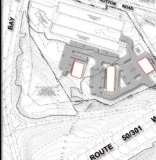
69 Old Mill Bottom Rd N
Baltimore-Columbia-Towson, MD
St Margarets
03-000-27228050
4.828 ACRES ST MARGARETS
Motel
Anne Arundel
X
Maryland
24003C0188F
116
2024
4.82 AC
2025
Annapolis
731103
Baltimore
31,664 SF
DEMOGRAPHICS near 69 Old Mill Bottom Rd N
1 Mile
3 Mile
5 Mile
2024 Total Population
4,351
42,258
103,846
2029 Population
4,458
43,226
106,641
Pop Growth 2024-2029
+ 2.46%
+ 2.29%
+ 2.69%
Average Age
41
40
41
2024 Total Households
1,535
15,286
40,936
HH Growth 2024-2029
+ 2.48%
+ 2.32%
+ 2.79%
Median Household Inc
$138,856
$135,365
$120,791
Avg Household Size
2.80
2.70
2.50
2024 Avg HH Vehicles
2.00
2.00
2.00
Median Home Value
$558,061
$496,629
$529,908
Median Year Built
1982
1980
1978
Nearby Places
Map Layers
Map Styles
 Street
 Aerial
- Restaurants
- Banks
- Shops
- Fitness
- Groceries
PUBLIC TRANSPORTATION
AIRPORT
Baltimore/Washington International Thurgood Marshall
DRIVE
WALK
Distance
Baltimore/Washington International Thurgood Marshall
34 min
20.8 mi
Freight Ports
Port of Baltimore
DRIVE
WALK
Distance
Port of Baltimore
41 min
22.6 mi
SALE & LEASE HISTORY
LISTING DATE
SALE/LEASE

Sep 25, 2016
For Lease
Nearby Properties
Address
Land Use
TOTAL SIZE
Lot Size
Zoning
Address
Land Use
TOTAL SIZE
Lot Size
Zoning
301,324 SF
169 AC
R1
Address
Land Use
TOTAL SIZE
Lot Size
Zoning
434,112 SF
822.11 AC
R1
Address
Land Use
TOTAL SIZE
Lot Size
Zoning
117,577 SF
6.92 AC
R2
Address
Land Use
TOTAL SIZE
Lot Size
Zoning
318,622 SF
62.01 AC
R5
Address
Land Use
TOTAL SIZE
Lot Size
Zoning
Address
Land Use
TOTAL SIZE
Lot Size
Zoning
Address
Land Use
TOTAL SIZE
Lot Size
Zoning
Address
Land Use
TOTAL SIZE
Lot Size
Zoning
Address
Land Use
TOTAL SIZE
Lot Size
Zoning
Address
Land Use
TOTAL SIZE
Lot Size
Zoning
Address
Land Use
TOTAL SIZE
Lot Size
Zoning
Address
Land Use
TOTAL SIZE
Lot Size
Zoning
125,266 SF
65.33 AC
R1
Address
Land Use
TOTAL SIZE
Lot Size
Zoning
75,073 SF
5.53 AC
P
Address
Land Use
TOTAL SIZE
Lot Size
Zoning
100,236 SF
12.99 AC
R5
Address
Land Use
TOTAL SIZE
Lot Size
Zoning
17.35 AC
Address
Land Use
TOTAL SIZE
Lot Size
Zoning
5.62 AC
R15
Address
Land Use
TOTAL SIZE
Lot Size
Zoning
7.56 AC
R15
Address
Land Use
TOTAL SIZE
Lot Size
Zoning
3,412 SF
16.95 AC
Address
Land Use
TOTAL SIZE
Lot Size
Zoning
88,832 SF
8.09 AC
C3
Address
Land Use
TOTAL SIZE
Lot Size
Zoning
44,680 SF
3.54 AC
C3
Address
Land Use
TOTAL SIZE
Lot Size
Zoning
60,971 SF
5.04 AC
C3
Address
Land Use
TOTAL SIZE
Lot Size
Zoning
9.90 AC
R15
Address
Land Use
TOTAL SIZE
Lot Size
Zoning
45,200 SF
3.28 AC
C4
Address
Land Use
TOTAL SIZE
Lot Size
Zoning
55,944 SF
14.50 AC
R5
Address
Land Use
TOTAL SIZE
Lot Size
Zoning
74,540 SF
53.76 AC
R5
Address
Land Use
TOTAL SIZE
Lot Size
Zoning
51,294 SF
29.29 AC
R5
Address
Land Use
TOTAL SIZE
Lot Size
Zoning
30,153 SF
7.05 AC
C4
Address
Land Use
TOTAL SIZE
Lot Size
Zoning
56,370 SF
6.53 AC
C4
Address
Land Use
TOTAL SIZE
Lot Size
Zoning
53,843 SF
7.24 AC
C3
Address
Land Use
TOTAL SIZE
Lot Size
Zoning
54,088 SF
10.25 AC
R5
The World's #1 Commercial Real Estate Marketplace
Connect with us
© 2026 CoStar Group
The information above has been obtained from sources believed reliable. While we do not doubt its accuracy we have not verified it and make no guarantee, warranty or representation about it. It is your responsibility to independently confirm its accuracy and completeness. Any projections, opinions, assumptions, or estimates used are for example only and do not represent the current or future performance of the property. The value of this transaction to you depends on tax and other factors which should be evaluated by your tax, financial, and legal advisors. You and your advisors should conduct a careful, independent investigation of the property to determine to your satisfaction the suitability of the property for your needs.