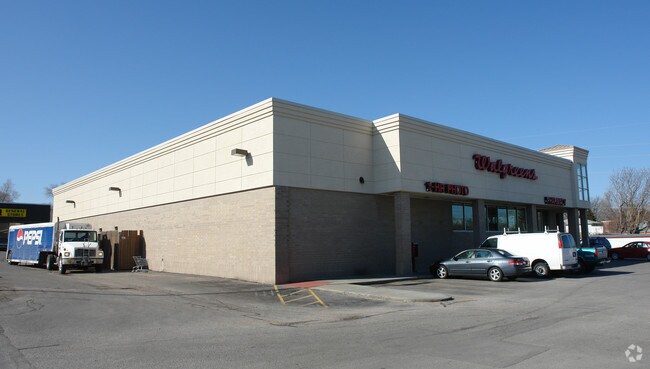
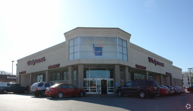
Property Record
6905 S 36Th St, Bellevue, NE 68147
NEARBY LISTINGS FOR SALE OR LEASE
Property Detail
6905 S 36Th St
Omaha-Council Bluffs, NE-IA
Harrison Square
011572924
LOT 1 HARRISON SQUARE
Commercialnec
Sarpy
X
Nebraska
31153C0080G
1
2024
1.28 AC
2025
Sarpy East
010505
Omaha/Council Bluffs
14,483 SF
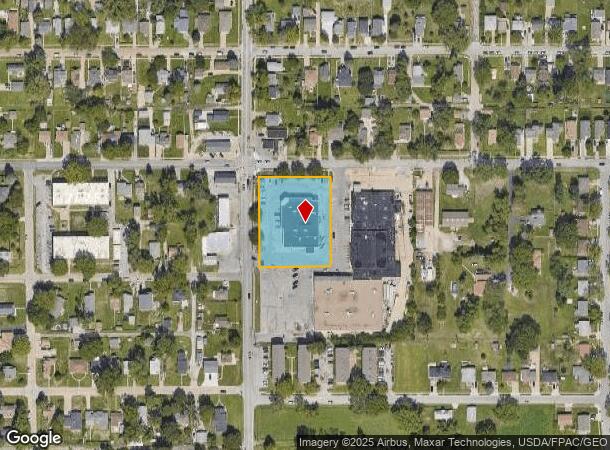
DEMOGRAPHICS near 6905 S 36Th St
1 Mile
3 Mile
5 Mile
2024 Total Population
16,049
77,047
225,406
2029 Population
16,474
79,612
234,276
Pop Growth 2024-2029
+ 2.65%
+ 3.33%
+ 3.94%
Average Age
35
36
37
2024 Total Households
5,186
26,612
90,065
HH Growth 2024-2029
+ 2.93%
+ 3.56%
+ 4.07%
Median Household Inc
$53,199
$61,507
$60,785
Avg Household Size
3.00
2.80
2.40
2024 Avg HH Vehicles
2.00
2.00
2.00
Median Home Value
$145,198
$164,602
$190,719
Median Year Built
1955
1962
1968
Nearby Places
Map Layers
Map Styles
 Street
 Aerial
- Restaurants
- Banks
- Shops
- Fitness
- Groceries
PUBLIC TRANSPORTATION
COMMUTER RAIL
DRIVE
WALK
Distance
13 min
6.5 mi
DRIVE
WALK
Distance
14 min
6.6 mi
AIRPORT
Eppley Airfield
DRIVE
WALK
Distance
Eppley Airfield
22 min
10.5 mi
Nearby Properties
Address
Land Use
TOTAL SIZE
Lot Size
Zoning
Address
Land Use
TOTAL SIZE
Lot Size
Zoning
25,204 SF
2.34 AC
R4
Address
Land Use
TOTAL SIZE
Lot Size
Zoning
276,509 SF
3.67 AC
Address
Land Use
TOTAL SIZE
Lot Size
Zoning
18,727 SF
11.15 AC
RG20
Address
Land Use
TOTAL SIZE
Lot Size
Zoning
97,617 SF
49.05 AC
Address
Land Use
TOTAL SIZE
Lot Size
Zoning
1,216 SF
22.82 AC
Address
Land Use
TOTAL SIZE
Lot Size
Zoning
12.71 AC
Address
Land Use
TOTAL SIZE
Lot Size
Zoning
119,396 SF
13.46 AC
Address
Land Use
TOTAL SIZE
Lot Size
Zoning
226,320 SF
12.75 AC
Address
Land Use
TOTAL SIZE
Lot Size
Zoning
217,511 SF
25.06 AC
Address
Land Use
TOTAL SIZE
Lot Size
Zoning
1,850 SF
8.14 AC
Address
Land Use
TOTAL SIZE
Lot Size
Zoning
400 SF
23.26 AC
Address
Land Use
TOTAL SIZE
Lot Size
Zoning
42,900 SF
16.25 AC
Address
Land Use
TOTAL SIZE
Lot Size
Zoning
212,990 SF
8.75 AC
MH
Address
Land Use
TOTAL SIZE
Lot Size
Zoning
193,967 SF
7.27 AC
Address
Land Use
TOTAL SIZE
Lot Size
Zoning
236,067 SF
10.12 AC
HI
Address
Land Use
TOTAL SIZE
Lot Size
Zoning
33,713 SF
14.39 AC
Address
Land Use
TOTAL SIZE
Lot Size
Zoning
4.53 AC
Address
Land Use
TOTAL SIZE
Lot Size
Zoning
126,910 SF
13.49 AC
Address
Land Use
TOTAL SIZE
Lot Size
Zoning
173,616 SF
9.30 AC
Address
Land Use
TOTAL SIZE
Lot Size
Zoning
3,418 SF
5.56 AC
Address
Land Use
TOTAL SIZE
Lot Size
Zoning
230,995 SF
11.29 AC
HI
Address
Land Use
TOTAL SIZE
Lot Size
Zoning
252,694 SF
17.74 AC
HI
Address
Land Use
TOTAL SIZE
Lot Size
Zoning
70,219 SF
2.83 AC
Address
Land Use
TOTAL SIZE
Lot Size
Zoning
148,963 SF
9.80 AC
Address
Land Use
TOTAL SIZE
Lot Size
Zoning
116,718 SF
8.28 AC
Address
Land Use
TOTAL SIZE
Lot Size
Zoning
161,765 SF
18.32 AC
Address
Land Use
TOTAL SIZE
Lot Size
Zoning
38,595 SF
2.07 AC
Address
Land Use
TOTAL SIZE
Lot Size
Zoning
74,586 SF
4.24 AC
Address
Land Use
TOTAL SIZE
Lot Size
Zoning
85,320 SF
6.60 AC
HI
Address
Land Use
TOTAL SIZE
Lot Size
Zoning
81,172 SF
4 AC
The World's #1 Commercial Real Estate Marketplace
Connect with us
© 2025 CoStar Group
The information above has been obtained from sources believed reliable. While we do not doubt its accuracy we have not verified it and make no guarantee, warranty or representation about it. It is your responsibility to independently confirm its accuracy and completeness. Any projections, opinions, assumptions, or estimates used are for example only and do not represent the current or future performance of the property. The value of this transaction to you depends on tax and other factors which should be evaluated by your tax, financial, and legal advisors. You and your advisors should conduct a careful, independent investigation of the property to determine to your satisfaction the suitability of the property for your needs.