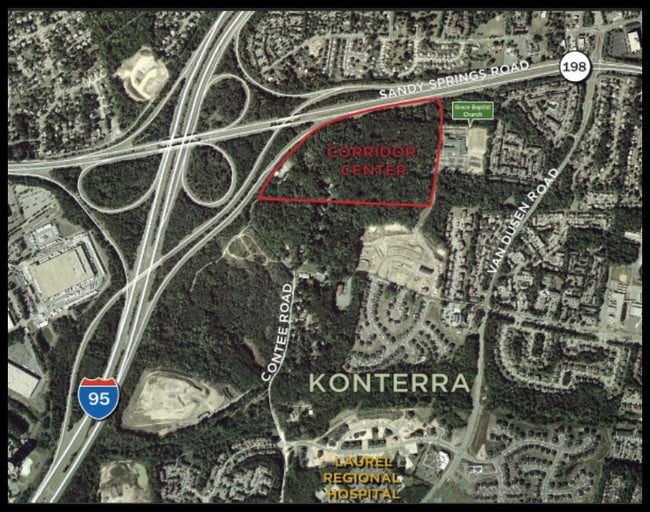
Property Record
6920 Contee Rd, Laurel, MD 20707
Property Detail
6920 Contee Rd
Washington-Arlington-Alexandria, DC-VA-MD-WV
S CEN 160 FT LOT 11 EQ 1.056 AC
10-0993345
PRINCE GEORGE'S
Commercialnec
Maryland
LAUR
11
B and X Area of moderate flood hazard, usually the area between the limits of the 100-year and 500-year floods.
11.40 AC
2024
Laurel
2025
Washington, DC
800106
NEARBY LISTINGS FOR SALE OR LEASE
DEMOGRAPHICS near 6920 Contee Rd
1 mile
3 mile
5 mile
2025 Total Population
12,135
90,923
206,104
2030 Population
12,324
92,413
209,405
Pop Growth 2025-2030
+ 1.56%
+ 1.64%
+ 1.60%
Average Age
40
39
39
2025 Total Households
4,359
33,613
74,823
HH Growth 2025-2030
+ 1.61%
+ 1.59%
+ 1.65%
Median Household Inc
$119,453
$102,264
$110,266
Avg Household Size
2.70
2.60
2.70
2025 Avg HH Vehicles
2.00
2.00
2.00
Median Home Value
$405,516
$443,875
$471,528
Median Year Built
1983
1985
1985
Nearby Places
Map Layers
Map Styles
 Street
 Aerial
Transit
 Traffic
 Biking
Places
Listings with unknown addresses are not visible on the map
- Restaurants
- Banks
- Shops
- Fitness
- Groceries
PUBLIC TRANSPORTATION
COMMUTER RAIL
Laurel Marc Sb (CAMDEN - WASHINGTON - Maryland Transit Administration)
Drive
Walk
Distance
Laurel Marc Sb (CAMDEN - WASHINGTON - Maryland Transit Administration)
7 min
2.9 mi
Muirkirk Marc Sb (CAMDEN - WASHINGTON - Maryland Transit Administration)
Drive
Walk
Distance
Muirkirk Marc Sb (CAMDEN - WASHINGTON - Maryland Transit Administration)
8 min
3.4 mi
AIRPORT
Baltimore/Washington International Thurgood Marshall
Drive
Walk
Distance
Baltimore/Washington International Thurgood Marshall
28 min
20.3 mi
Ronald Reagan Washington Ntl
Drive
Walk
Distance
Ronald Reagan Washington Ntl
42 min
26.1 mi
Freight Ports
Port of Baltimore
Drive
Walk
Distance
Port of Baltimore
33 min
23.2 mi
SALE & LEASE HISTORY
LISTING DATE
SALE/LEASE

Sep 24, 2016
For Sale
Nearby Properties
Address
Land Use
TOTAL SIZE
Lot Size
Zoning
Address
Land Use
TOTAL SIZE
Lot Size
Zoning
393,970 SF
44 AC
RR
Address
Land Use
TOTAL SIZE
Lot Size
Zoning
218,406 SF
26.80 AC
LAUR
Address
Land Use
TOTAL SIZE
Lot Size
Zoning
399,715 SF
23.04 AC
LAUR
Address
Land Use
TOTAL SIZE
Lot Size
Zoning
791,089 SF
10.69 AC
LAUR
Address
Land Use
TOTAL SIZE
Lot Size
Zoning
657,100 SF
7.39 AC
LAUR
Address
Land Use
TOTAL SIZE
Lot Size
Zoning
514,064 SF
7.37 AC
NAC
Address
Land Use
TOTAL SIZE
Lot Size
Zoning
390,986 SF
16.87 AC
LAUR
Address
Land Use
TOTAL SIZE
Lot Size
Zoning
564,165 SF
35.85 AC
RMF12
Address
Land Use
TOTAL SIZE
Lot Size
Zoning
559,944 SF
11.89 AC
IE
Address
Land Use
TOTAL SIZE
Lot Size
Zoning
104,067 SF
25.29 AC
RMF20
Address
Land Use
TOTAL SIZE
Lot Size
Zoning
165,236 SF
5.24 AC
LAUR
Address
Land Use
TOTAL SIZE
Lot Size
Zoning
379,264 SF
23.08 AC
LAUR
Address
Land Use
TOTAL SIZE
Lot Size
Zoning
166,410 SF
26.25 AC
CRT1.
Address
Land Use
TOTAL SIZE
Lot Size
Zoning
158,316 SF
20.30 AC
LAUR
Address
Land Use
TOTAL SIZE
Lot Size
Zoning
16,016 SF
19.95 AC
RA15
Address
Land Use
TOTAL SIZE
Lot Size
Zoning
12,936 SF
19.50 AC
RA15
Address
Land Use
TOTAL SIZE
Lot Size
Zoning
302,887 SF
24.96 AC
LAUR
Address
Land Use
TOTAL SIZE
Lot Size
Zoning
16.36 AC
RMF20
Address
Land Use
TOTAL SIZE
Lot Size
Zoning
149,990 SF
10.41 AC
PEC
Address
Land Use
TOTAL SIZE
Lot Size
Zoning
149,990 SF
9.70 AC
PEC
Address
Land Use
TOTAL SIZE
Lot Size
Zoning
15.70 AC
RMF20
Address
Land Use
TOTAL SIZE
Lot Size
Zoning
13,624 SF
17.08 AC
RA15
Address
Land Use
TOTAL SIZE
Lot Size
Zoning
155,446 SF
10.76 AC
PEC
Address
Land Use
TOTAL SIZE
Lot Size
Zoning
149,990 SF
6.40 AC
PEC
Address
Land Use
TOTAL SIZE
Lot Size
Zoning
61,198 SF
10.10 AC
PEC
Address
Land Use
TOTAL SIZE
Lot Size
Zoning
456,896 SF
8.96 AC
R20
Address
Land Use
TOTAL SIZE
Lot Size
Zoning
10.52 AC
RMF20
Address
Land Use
TOTAL SIZE
Lot Size
Zoning
110,336 SF
41.82 AC
PECMX
Address
Land Use
TOTAL SIZE
Lot Size
Zoning
63,896 SF
229.19 AC
W1B
Address
Land Use
TOTAL SIZE
Lot Size
Zoning
12,786 SF
12 AC
RA15
The World's #1 Commercial Real Estate Marketplace
Connect with us
© 2026 CoStar Group
The information above has been obtained from sources believed reliable. While we do not doubt its accuracy we have not verified it and make no guarantee, warranty or representation about it. It is your responsibility to independently confirm its accuracy and completeness. Any projections, opinions, assumptions, or estimates used are for example only and do not represent the current or future performance of the property. The value of this transaction to you depends on tax and other factors which should be evaluated by your tax, financial, and legal advisors. You and your advisors should conduct a careful, independent investigation of the property to determine to your satisfaction the suitability of the property for your needs.