Property Record
6921 E Cave Creek Rd, Cave Creek, AZ 85331
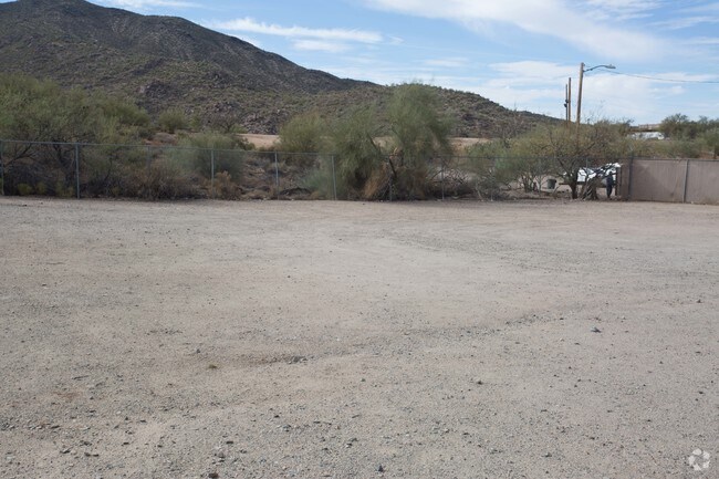

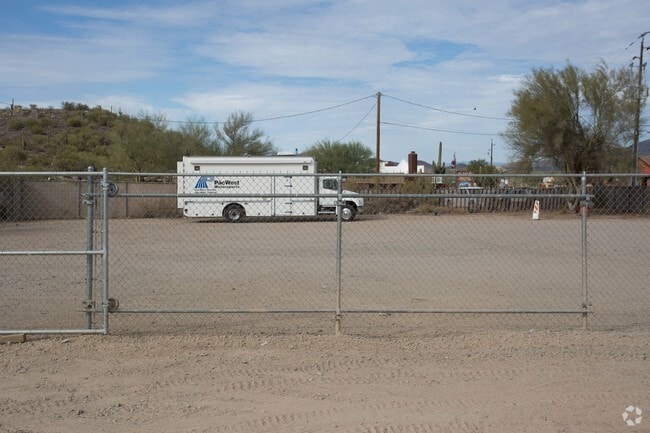
Property Detail
6921 E Cave Creek Rd
216-07-013A
PT LOT 11 BEG 590 E OF S4 COR SEC 27 N 284.5 TH N 8D 44 E 520 TO NE COR JOE FASSIOS PROP AS STARTING PT TH S 57D 55 E 141 TO STAKE TH S 8D 44 W 200 TO STAKE W 131.5 TH TO STAKE N 8D 44 E TO BEG EX TH PT LY WITHIN CAVE CREEK RD R/W .58 AC
Commercialnec
Maricopa
C-T
Arizona
C and X Area of minimal flood hazard, usually depicted on FIRMs as above the 500-year flood level.
11
2025
0.58 AC
2025
N Scottsdale/Carefree
030402
Phoenix
891 SF
Phoenix-Mesa-Chandler, AZ
NEARBY LISTINGS FOR SALE OR LEASE
DEMOGRAPHICS near 6921 E Cave Creek Rd
1 mile
3 mile
5 mile
2025 Total Population
2,021
13,629
35,808
2030 Population
2,134
14,564
38,098
Pop Growth 2025-2030
+ 5.59%
+ 6.86%
+ 6.40%
Average Age
58
59
56
2025 Total Households
994
6,454
15,965
HH Growth 2025-2030
+ 5.73%
+ 6.94%
+ 6.73%
Median Household Inc
$122,844
$137,375
$154,919
Avg Household Size
2.00
2.10
2.20
2025 Avg HH Vehicles
2.00
2.00
2.00
Median Home Value
$1,023,179
$1,032,196
$1,015,402
Median Year Built
1991
1996
2000
Nearby Places
Map Layers
Map Styles
 Street
 Aerial
Layers
 Traffic
 Biking
Places
Listings with unknown addresses are not visible on the map
- Restaurants
- Banks
- Shops
- Fitness
- Groceries
PUBLIC TRANSPORTATION
AIRPORT
Phoenix Sky Harbor International
Drive
Walk
Distance
Phoenix Sky Harbor International
53 min
36.1 mi
Nearby Properties
Address
Land Use
TOTAL SIZE
Lot Size
Zoning
Address
Land Use
TOTAL SIZE
Lot Size
Zoning
140,303 SF
29.18 AC
R-4R
Address
Land Use
TOTAL SIZE
Lot Size
Zoning
123,518 SF
14.92 AC
C-C
Address
Land Use
TOTAL SIZE
Lot Size
Zoning
126,785 SF
17.94 AC
C-G
Address
Land Use
TOTAL SIZE
Lot Size
Zoning
223,188 SF
13.68 AC
RT
Address
Land Use
TOTAL SIZE
Lot Size
Zoning
82,175 SF
8.65 AC
C-C
Address
Land Use
TOTAL SIZE
Lot Size
Zoning
47,830 SF
5.22 AC
R-43
Address
Land Use
TOTAL SIZE
Lot Size
Zoning
84,248 SF
6.68 AC
C-C
Address
Land Use
TOTAL SIZE
Lot Size
Zoning
35,734 SF
10.13 AC
R-43
Address
Land Use
TOTAL SIZE
Lot Size
Zoning
32,944 SF
6.89 AC
R-70
Address
Land Use
TOTAL SIZE
Lot Size
Zoning
65,744 SF
2.05 AC
Address
Land Use
TOTAL SIZE
Lot Size
Zoning
21,828 SF
58.46 AC
R-43
Address
Land Use
TOTAL SIZE
Lot Size
Zoning
15,261 SF
13.02 AC
R135
Address
Land Use
TOTAL SIZE
Lot Size
Zoning
31,318 SF
5.37 AC
C-C
Address
Land Use
TOTAL SIZE
Lot Size
Zoning
27,058 SF
8.21 AC
O-S
Address
Land Use
TOTAL SIZE
Lot Size
Zoning
64,796 SF
2.86 AC
C-C
Address
Land Use
TOTAL SIZE
Lot Size
Zoning
29,900 SF
3.18 AC
GC
Address
Land Use
TOTAL SIZE
Lot Size
Zoning
12.46 AC
C-C
Address
Land Use
TOTAL SIZE
Lot Size
Zoning
90,526 SF
32.62 AC
R-190
Address
Land Use
TOTAL SIZE
Lot Size
Zoning
12,832 SF
5.44 AC
RURAL43
Address
Land Use
TOTAL SIZE
Lot Size
Zoning
35,680 SF
5.91 AC
RT
Address
Land Use
TOTAL SIZE
Lot Size
Zoning
9.27 AC
RT
Address
Land Use
TOTAL SIZE
Lot Size
Zoning
29,792 SF
3.42 AC
C-T
Address
Land Use
TOTAL SIZE
Lot Size
Zoning
14,188 SF
2.80 AC
C-C
Address
Land Use
TOTAL SIZE
Lot Size
Zoning
1.10 AC
R35
Address
Land Use
TOTAL SIZE
Lot Size
Zoning
7.65 AC
RT
Address
Land Use
TOTAL SIZE
Lot Size
Zoning
29,535 SF
2.07 AC
C-C
Address
Land Use
TOTAL SIZE
Lot Size
Zoning
8,277 SF
4.26 AC
R-35
Address
Land Use
TOTAL SIZE
Lot Size
Zoning
31,283 SF
3 AC
C-T
Address
Land Use
TOTAL SIZE
Lot Size
Zoning
3,043 SF
9.09 AC
R-89
The World's #1 Commercial Real Estate Marketplace
Connect with us
© 2026 CoStar Group
The information above has been obtained from sources believed reliable. While we do not doubt its accuracy we have not verified it and make no guarantee, warranty or representation about it. It is your responsibility to independently confirm its accuracy and completeness. Any projections, opinions, assumptions, or estimates used are for example only and do not represent the current or future performance of the property. The value of this transaction to you depends on tax and other factors which should be evaluated by your tax, financial, and legal advisors. You and your advisors should conduct a careful, independent investigation of the property to determine to your satisfaction the suitability of the property for your needs.