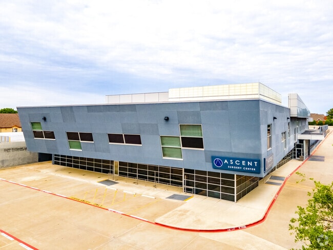
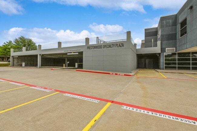
Property Record
6957 W Plano Pky, Plano, TX 75093

Current Lease Availabilities
Property Detail
6957 W Plano Pky
Dallas-Fort Worth-Arlington, TX
THE ARBORS AT PRESTONWOOD BLK A LOT 2
R288222
Denton
Commercialnec
Texas
B and X Area of moderate flood hazard, usually the area between the limits of the 100-year and 500-year floods.
2
2024
4.17 AC
2025
Upper Tollway/West Plano
021648
Dallas/Ft Worth
62,912 SF
NEARBY LISTINGS FOR SALE OR LEASE
DEMOGRAPHICS near 6957 W Plano Pky
1 mile
3 mile
5 mile
2025 Total Population
10,677
139,097
361,374
2030 Population
11,988
156,139
402,283
Pop Growth 2025-2030
+ 12.28%
+ 12.25%
+ 11.32%
Average Age
44
39
40
2025 Total Households
4,876
62,590
156,483
HH Growth 2025-2030
+ 12.49%
+ 12.47%
+ 11.56%
Median Household Inc
$119,795
$93,053
$99,885
Avg Household Size
2.20
2.20
2.30
2025 Avg HH Vehicles
2.00
2.00
2.00
Median Home Value
$592,262
$578,109
$499,310
Median Year Built
1999
1994
1993
Nearby Places
Map Layers
Map Styles
 Street
 Aerial
Transit
 Traffic
 Biking
Places
Listings with unknown addresses are not visible on the map
- Restaurants
- Banks
- Shops
- Fitness
- Groceries
PUBLIC TRANSPORTATION
COMMUTER RAIL
Trinity Mills Station (Green Line - Dallas Area Rapid Transit (DART))
Drive
Walk
Distance
Trinity Mills Station (Green Line - Dallas Area Rapid Transit (DART))
14 min
8.2 mi
Drive
Walk
Distance
17 min
8.2 mi
AIRPORT
Dallas Love Field
Drive
Walk
Distance
Dallas Love Field
27 min
17.5 mi
Dallas-Fort Worth International
Drive
Walk
Distance
Dallas-Fort Worth International
27 min
18.6 mi
Nearby Properties
Address
Land Use
TOTAL SIZE
Lot Size
Zoning
Address
Land Use
TOTAL SIZE
Lot Size
Zoning
725,987 SF
34.18 AC
CE
Address
Land Use
TOTAL SIZE
Lot Size
Zoning
542,570 SF
75.67 AC
Address
Land Use
TOTAL SIZE
Lot Size
Zoning
719,177 SF
27.02 AC
O-2
Address
Land Use
TOTAL SIZE
Lot Size
Zoning
526,509 SF
135.02 AC
Address
Land Use
TOTAL SIZE
Lot Size
Zoning
598,569 SF
86.50 AC
Address
Land Use
TOTAL SIZE
Lot Size
Zoning
615,249 SF
16.17 AC
COMM
Address
Land Use
TOTAL SIZE
Lot Size
Zoning
1,817,951 SF
82 AC
Address
Land Use
TOTAL SIZE
Lot Size
Zoning
545,224 SF
42.80 AC
Address
Land Use
TOTAL SIZE
Lot Size
Zoning
417,990 SF
10.42 AC
Address
Land Use
TOTAL SIZE
Lot Size
Zoning
537,274 SF
20.91 AC
Address
Land Use
TOTAL SIZE
Lot Size
Zoning
435,683 SF
18.25 AC
COMM
Address
Land Use
TOTAL SIZE
Lot Size
Zoning
554,780 SF
23.81 AC
Address
Land Use
TOTAL SIZE
Lot Size
Zoning
482,025 SF
11.73 AC
LC
Address
Land Use
TOTAL SIZE
Lot Size
Zoning
512,903 SF
18 AC
Address
Land Use
TOTAL SIZE
Lot Size
Zoning
500,844 SF
24.36 AC
2B
Address
Land Use
TOTAL SIZE
Lot Size
Zoning
460,403 SF
19.26 AC
Address
Land Use
TOTAL SIZE
Lot Size
Zoning
389,014 SF
20.91 AC
Address
Land Use
TOTAL SIZE
Lot Size
Zoning
479,145 SF
17.08 AC
Address
Land Use
TOTAL SIZE
Lot Size
Zoning
517,362 SF
23.61 AC
MF-2
Address
Land Use
TOTAL SIZE
Lot Size
Zoning
452,164 SF
15.70 AC
2B
Address
Land Use
TOTAL SIZE
Lot Size
Zoning
396,669 SF
18.50 AC
Address
Land Use
TOTAL SIZE
Lot Size
Zoning
376,139 SF
3.58 AC
Address
Land Use
TOTAL SIZE
Lot Size
Zoning
419,464 SF
22.05 AC
MF-3
Address
Land Use
TOTAL SIZE
Lot Size
Zoning
294,218 SF
20.54 AC
CE
Address
Land Use
TOTAL SIZE
Lot Size
Zoning
462,888 SF
20.17 AC
Address
Land Use
TOTAL SIZE
Lot Size
Zoning
434,639 SF
16.20 AC
Address
Land Use
TOTAL SIZE
Lot Size
Zoning
809,451 SF
94.32 AC
Address
Land Use
TOTAL SIZE
Lot Size
Zoning
291,446 SF
16.18 AC
Address
Land Use
TOTAL SIZE
Lot Size
Zoning
254,691 SF
7.87 AC
RC
Address
Land Use
TOTAL SIZE
Lot Size
Zoning
239,913 SF
10.36 AC
RC
The World's #1 Commercial Real Estate Marketplace
Connect with us
© 2026 CoStar Group
The information above has been obtained from sources believed reliable. While we do not doubt its accuracy we have not verified it and make no guarantee, warranty or representation about it. It is your responsibility to independently confirm its accuracy and completeness. Any projections, opinions, assumptions, or estimates used are for example only and do not represent the current or future performance of the property. The value of this transaction to you depends on tax and other factors which should be evaluated by your tax, financial, and legal advisors. You and your advisors should conduct a careful, independent investigation of the property to determine to your satisfaction the suitability of the property for your needs.