Property Record
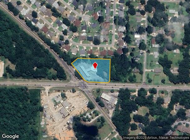
6960 Mobile Hwy, Pensacola, FL 32526

NEARBY LISTINGS FOR SALE OR LEASE
Property Detail
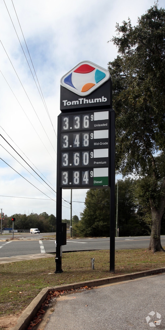
6960 Mobile Hwy
26-1S-31-1100-000-010
Subdivision Number: 1100
Storemultistory
COM AT INTERSECT OF E LI OF SEC WITH N R/W LI OF BLUE ANGEL PARKWAY (100 FT R/W) N 86 DEG 49 MIN 51 SEC W ALG N R/W LI OF BLUE ANGEL PKY 200 FT FOR POB CONT N 86 DEG 49 MIN 51 SEC W ALG R/W LI 240 75/100 FT TO PT OF INTERSECT WITH NELY R/W LI OF MOBI
X
Escambia
12033C0355G
Florida
2024
1.82 AC
2025
Myrtle Grove/Bellview
003301
Pensacola
3,232 SF
Pensacola-Ferry Pass-Brent, FL
DEMOGRAPHICS near 6960 Mobile Hwy
1 Mile
3 Mile
5 Mile
2024 Total Population
4,645
34,522
104,309
2029 Population
4,694
35,082
106,484
Pop Growth 2024-2029
+ 1.05%
+ 1.62%
+ 2.09%
Average Age
40
41
39
2024 Total Households
1,833
13,604
39,922
HH Growth 2024-2029
+ 1.04%
+ 1.61%
+ 2.10%
Median Household Inc
$55,410
$54,931
$52,140
Avg Household Size
2.40
2.40
2.40
2024 Avg HH Vehicles
2.00
2.00
2.00
Median Home Value
$190,315
$172,806
$170,718
Median Year Built
1998
1986
1984
Nearby Places
Map Layers
Map Styles
 Street
 Aerial
- Restaurants
- Banks
- Shops
- Fitness
- Groceries
PUBLIC TRANSPORTATION
AIRPORT
Pensacola International
DRIVE
WALK
Distance
Pensacola International
21 min
9.7 mi
Freight Ports
Port of Mobile
DRIVE
WALK
Distance
Port of Mobile
59 min
50.7 mi
Nearby Properties
Address
Land Use
TOTAL SIZE
Lot Size
Zoning
Address
Land Use
TOTAL SIZE
Lot Size
Zoning
295,911 SF
15.53 AC
HC/LI,HDR
Address
Land Use
TOTAL SIZE
Lot Size
Zoning
305,650 SF
21.90 AC
HDMU
Address
Land Use
TOTAL SIZE
Lot Size
Zoning
280,848 SF
15 AC
COM,HDMU
Address
Land Use
TOTAL SIZE
Lot Size
Zoning
263,838 SF
9.03 AC
HC/LI
Address
Land Use
TOTAL SIZE
Lot Size
Zoning
1,350,030 SF
80 AC
REC
Address
Land Use
TOTAL SIZE
Lot Size
Zoning
265,012 SF
14.51 AC
HC/LI
Address
Land Use
TOTAL SIZE
Lot Size
Zoning
250,232 SF
19.24 AC
HDR
Address
Land Use
TOTAL SIZE
Lot Size
Zoning
178,038 SF
11.03 AC
COM
Address
Land Use
TOTAL SIZE
Lot Size
Zoning
141,728 SF
8.59 AC
COM
Address
Land Use
TOTAL SIZE
Lot Size
Zoning
83,923 SF
6.70 AC
HC/LI
Address
Land Use
TOTAL SIZE
Lot Size
Zoning
129,518 SF
6.44 AC
HDMU
Address
Land Use
TOTAL SIZE
Lot Size
Zoning
103,671 SF
13.96 AC
HDMU
Address
Land Use
TOTAL SIZE
Lot Size
Zoning
54,556 SF
3.98 AC
HC/LI
Address
Land Use
TOTAL SIZE
Lot Size
Zoning
3,926 SF
57.46 AC
HDMU
Address
Land Use
TOTAL SIZE
Lot Size
Zoning
62,848 SF
0.99 AC
COM
Address
Land Use
TOTAL SIZE
Lot Size
Zoning
102,019 SF
9.85 AC
COM
Address
Land Use
TOTAL SIZE
Lot Size
Zoning
54,158 SF
1.27 AC
HC/LI
Address
Land Use
TOTAL SIZE
Lot Size
Zoning
48,922 SF
3.25 AC
COM
Address
Land Use
TOTAL SIZE
Lot Size
Zoning
49,824 SF
3.84 AC
HC/LI
Address
Land Use
TOTAL SIZE
Lot Size
Zoning
84,005 SF
7.93 AC
COM
Address
Land Use
TOTAL SIZE
Lot Size
Zoning
51,241 SF
5.95 AC
HC/LI
Address
Land Use
TOTAL SIZE
Lot Size
Zoning
57,494 SF
5.48 AC
COM
Address
Land Use
TOTAL SIZE
Lot Size
Zoning
48,100 SF
3.69 AC
COM
Address
Land Use
TOTAL SIZE
Lot Size
Zoning
78,951 SF
3.50 AC
COM
Address
Land Use
TOTAL SIZE
Lot Size
Zoning
54,312 SF
6.32 AC
HDMU
Address
Land Use
TOTAL SIZE
Lot Size
Zoning
97,699 SF
18 AC
MDR
Address
Land Use
TOTAL SIZE
Lot Size
Zoning
30,544 SF
10 AC
HC/LI
Address
Land Use
TOTAL SIZE
Lot Size
Zoning
51,259 SF
6.46 AC
COM
Address
Land Use
TOTAL SIZE
Lot Size
Zoning
43,408 SF
2.74 AC
HC/LI
Address
Land Use
TOTAL SIZE
Lot Size
Zoning
42,003 SF
1.88 AC
COM
The World's #1 Commercial Real Estate Marketplace
Connect with us
© 2026 CoStar Group
The information above has been obtained from sources believed reliable. While we do not doubt its accuracy we have not verified it and make no guarantee, warranty or representation about it. It is your responsibility to independently confirm its accuracy and completeness. Any projections, opinions, assumptions, or estimates used are for example only and do not represent the current or future performance of the property. The value of this transaction to you depends on tax and other factors which should be evaluated by your tax, financial, and legal advisors. You and your advisors should conduct a careful, independent investigation of the property to determine to your satisfaction the suitability of the property for your needs.