Property Record
6985 S State Road 37 Ave S, Lakeland, FL 33813


NEARBY LISTINGS FOR SALE OR LEASE
Property Detail
6985 S State Road 37 Ave S
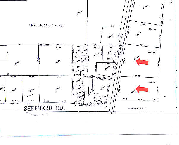
23-29-23-000000-022160
Barbour Acres
Storebuilding
PROPOSED WALGREEN SITE & REMAINDER PCL DESC AS: COMM NW COR OF SEC 24 T29 R23 RUN E 273.8 FT TO ELY R/W OF CSX RR S 24 DEG 36 MIN 23 SEC W ALONG SAID RR R/W 18.49 FT SWLY ALONG CURVE AND SAID RR R/W 590.94 FT S 12 DEG 39 MIN 46 SEC W ALONG SAID RR R/
X
Polk
12105C0480G
Florida
2024
4.73 AC
2025
Polk County
011821
Tampa/St Petersburg
15,048 SF
Lakeland-Winter Haven, FL
DEMOGRAPHICS near 6985 S State Road 37 Ave S
1 Mile
3 Mile
5 Mile
2024 Total Population
4,581
45,011
93,940
2029 Population
5,423
53,430
111,557
Pop Growth 2024-2029
+ 18.38%
+ 18.70%
+ 18.75%
Average Age
41
40
40
2024 Total Households
1,858
17,242
35,174
HH Growth 2024-2029
+ 18.30%
+ 18.63%
+ 18.68%
Median Household Inc
$89,264
$71,568
$74,714
Avg Household Size
2.50
2.60
2.60
2024 Avg HH Vehicles
2.00
2.00
2.00
Median Home Value
$283,817
$251,997
$258,034
Median Year Built
1995
1992
1990
Nearby Places
Map Layers
Map Styles
 Street
 Aerial
- Restaurants
- Banks
- Shops
- Fitness
- Groceries
PUBLIC TRANSPORTATION
COMMUTER RAIL
DRIVE
WALK
Distance
17 min
8.0 mi
AIRPORT
Tampa International
DRIVE
WALK
Distance
Tampa International
61 min
45.8 mi
Freight Ports
Port of Tampa Bay
DRIVE
WALK
Distance
Port of Tampa Bay
54 min
39.2 mi
Nearby Properties
Address
Land Use
TOTAL SIZE
Lot Size
Zoning
Address
Land Use
TOTAL SIZE
Lot Size
Zoning
882,663 SF
133.57 AC
PUD
Address
Land Use
TOTAL SIZE
Lot Size
Zoning
292,243 SF
11.94 AC
PUD
Address
Land Use
TOTAL SIZE
Lot Size
Zoning
306,126 SF
25.03 AC
Address
Land Use
TOTAL SIZE
Lot Size
Zoning
214,889 SF
23.50 AC
Address
Land Use
TOTAL SIZE
Lot Size
Zoning
166,313 SF
63.97 AC
Address
Land Use
TOTAL SIZE
Lot Size
Zoning
126,269 SF
16.35 AC
Address
Land Use
TOTAL SIZE
Lot Size
Zoning
112,538 SF
23.44 AC
Address
Land Use
TOTAL SIZE
Lot Size
Zoning
76,527 SF
17.51 AC
R1
Address
Land Use
TOTAL SIZE
Lot Size
Zoning
101,103 SF
13.87 AC
Address
Land Use
TOTAL SIZE
Lot Size
Zoning
147,718 SF
52.29 AC
PUD
Address
Land Use
TOTAL SIZE
Lot Size
Zoning
145,672 SF
16 AC
Address
Land Use
TOTAL SIZE
Lot Size
Zoning
119,901 SF
8.46 AC
Address
Land Use
TOTAL SIZE
Lot Size
Zoning
199,906 SF
19.73 AC
R2
Address
Land Use
TOTAL SIZE
Lot Size
Zoning
116,961 SF
5.01 AC
I1
Address
Land Use
TOTAL SIZE
Lot Size
Zoning
149,528 SF
21.75 AC
Address
Land Use
TOTAL SIZE
Lot Size
Zoning
110,784 SF
15.58 AC
Address
Land Use
TOTAL SIZE
Lot Size
Zoning
66,800 SF
8.65 AC
Address
Land Use
TOTAL SIZE
Lot Size
Zoning
104,418 SF
20.10 AC
Address
Land Use
TOTAL SIZE
Lot Size
Zoning
79,100 SF
4.72 AC
PUD
Address
Land Use
TOTAL SIZE
Lot Size
Zoning
54,315 SF
10.60 AC
C4
Address
Land Use
TOTAL SIZE
Lot Size
Zoning
90,952 SF
7.99 AC
PUD
Address
Land Use
TOTAL SIZE
Lot Size
Zoning
110,991 SF
9.12 AC
Address
Land Use
TOTAL SIZE
Lot Size
Zoning
95,863 SF
8.10 AC
Address
Land Use
TOTAL SIZE
Lot Size
Zoning
101,500 SF
8.47 AC
Address
Land Use
TOTAL SIZE
Lot Size
Zoning
39,936 SF
3.16 AC
C4
Address
Land Use
TOTAL SIZE
Lot Size
Zoning
122,724 SF
14.05 AC
Address
Land Use
TOTAL SIZE
Lot Size
Zoning
63,640 SF
8.81 AC
C4
Address
Land Use
TOTAL SIZE
Lot Size
Zoning
27,425 SF
8.02 AC
Address
Land Use
TOTAL SIZE
Lot Size
Zoning
103,698 SF
10.86 AC
GI
Address
Land Use
TOTAL SIZE
Lot Size
Zoning
55,112 SF
4.73 AC
R1
The World's #1 Commercial Real Estate Marketplace
Connect with us
© 2026 CoStar Group
The information above has been obtained from sources believed reliable. While we do not doubt its accuracy we have not verified it and make no guarantee, warranty or representation about it. It is your responsibility to independently confirm its accuracy and completeness. Any projections, opinions, assumptions, or estimates used are for example only and do not represent the current or future performance of the property. The value of this transaction to you depends on tax and other factors which should be evaluated by your tax, financial, and legal advisors. You and your advisors should conduct a careful, independent investigation of the property to determine to your satisfaction the suitability of the property for your needs.