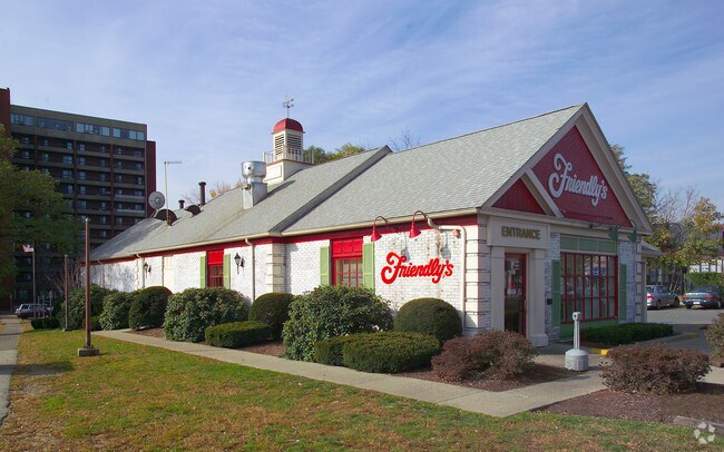
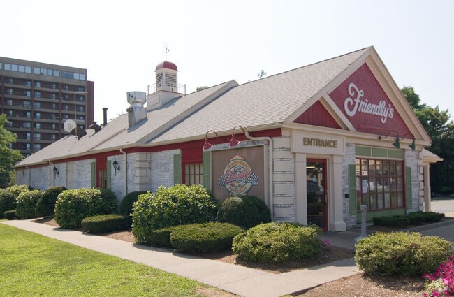
Property Record
699 Hancock St, Quincy, MA 02170

NEARBY LISTINGS FOR SALE OR LEASE
Property Detail
699 Hancock St
QUIN-005092-000042-000077
Norfolk
Financialbuilding
Massachusetts
X
77
25021C0069G
0.38 AC
2025
Quincy/Braintree
2025
Boston
417602
Boston-Cambridge-Newton, MA-NH
2,582 SF
DEMOGRAPHICS near 699 Hancock St
1 Mile
3 Mile
5 Mile
2024 Total Population
28,253
134,654
354,872
2029 Population
27,946
132,289
343,399
Pop Growth 2024-2029
(1.09%)
(1.76%)
(3.23%)
Average Age
41
41
40
2024 Total Households
11,345
57,411
139,327
HH Growth 2024-2029
(1.10%)
(1.81%)
(3.37%)
Median Household Inc
$93,057
$91,321
$84,042
Avg Household Size
2.40
2.30
2.40
2024 Avg HH Vehicles
1.00
1.00
1.00
Median Home Value
$659,764
$646,926
$627,875
Median Year Built
1948
1954
1949
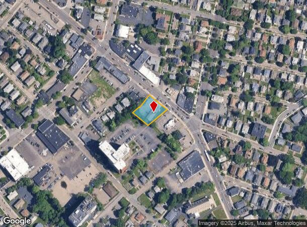
Nearby Places
Map Layers
Map Styles
 Street
 Aerial
- Restaurants
- Banks
- Shops
- Fitness
- Groceries
PUBLIC TRANSPORTATION
COMMUTER RAIL
Quincy Center Station (Red Line - Massachusetts Bay Transportation Authority Subway (The T))
DRIVE
WALK
Distance
Quincy Center Station (Red Line - Massachusetts Bay Transportation Authority Subway (The T))
3 min
1.2 mi
DRIVE
WALK
Distance
10 min
4.6 mi
AIRPORT
General Edward Lawrence Logan International
DRIVE
WALK
Distance
General Edward Lawrence Logan International
19 min
10.0 mi
SALE & LEASE HISTORY
LISTING DATE
SALE/LEASE

Nov 09, 2017
For Lease
Nearby Properties
Address
Land Use
TOTAL SIZE
Lot Size
Zoning
Address
Land Use
TOTAL SIZE
Lot Size
Zoning
148,456 SF
0.43 AC
Address
Land Use
TOTAL SIZE
Lot Size
Zoning
17.33 AC
Address
Land Use
TOTAL SIZE
Lot Size
Zoning
251,272 SF
3.77 AC
BUSC
Address
Land Use
TOTAL SIZE
Lot Size
Zoning
152,495 SF
6.51 AC
Address
Land Use
TOTAL SIZE
Lot Size
Zoning
254,856 SF
4.05 AC
BUSC
Address
Land Use
TOTAL SIZE
Lot Size
Zoning
20,596 SF
16.20 AC
PUD
Address
Land Use
TOTAL SIZE
Lot Size
Zoning
3.31 AC
BUSC
Address
Land Use
TOTAL SIZE
Lot Size
Zoning
236,154 SF
1.41 AC
BUSC
Address
Land Use
TOTAL SIZE
Lot Size
Zoning
14.81 AC
Address
Land Use
TOTAL SIZE
Lot Size
Zoning
681,518 SF
34.52 AC
Address
Land Use
TOTAL SIZE
Lot Size
Zoning
15.81 AC
Address
Land Use
TOTAL SIZE
Lot Size
Zoning
728,348 SF
11.71 AC
C
Address
Land Use
TOTAL SIZE
Lot Size
Zoning
383,811 SF
5.86 AC
RESB
Address
Land Use
TOTAL SIZE
Lot Size
Zoning
9.10 AC
RESC
Address
Land Use
TOTAL SIZE
Lot Size
Zoning
202,858 SF
2.30 AC
Address
Land Use
TOTAL SIZE
Lot Size
Zoning
5.06 AC
BUSC
Address
Land Use
TOTAL SIZE
Lot Size
Zoning
17.85 AC
BUSC
Address
Land Use
TOTAL SIZE
Lot Size
Zoning
150,987 SF
6.90 AC
PUD
Address
Land Use
TOTAL SIZE
Lot Size
Zoning
132,997 SF
1.45 AC
Address
Land Use
TOTAL SIZE
Lot Size
Zoning
560,065 SF
28.20 AC
Address
Land Use
TOTAL SIZE
Lot Size
Zoning
147,611 SF
0.62 AC
BUSC
Address
Land Use
TOTAL SIZE
Lot Size
Zoning
11.90 AC
PUD
Address
Land Use
TOTAL SIZE
Lot Size
Zoning
237,086 SF
15 AC
INDB
Address
Land Use
TOTAL SIZE
Lot Size
Zoning
133,254 SF
4.21 AC
Address
Land Use
TOTAL SIZE
Lot Size
Zoning
124,274 SF
0.62 AC
Address
Land Use
TOTAL SIZE
Lot Size
Zoning
10.38 AC
Address
Land Use
TOTAL SIZE
Lot Size
Zoning
233,530 SF
6.70 AC
PUD
Address
Land Use
TOTAL SIZE
Lot Size
Zoning
24,156 SF
7.65 AC
RESB
Address
Land Use
TOTAL SIZE
Lot Size
Zoning
134,342 SF
1.03 AC
BUSC
Address
Land Use
TOTAL SIZE
Lot Size
Zoning
4.81 AC
RESC
The World's #1 Commercial Real Estate Marketplace
Connect with us
© 2025 CoStar Group
The information above has been obtained from sources believed reliable. While we do not doubt its accuracy we have not verified it and make no guarantee, warranty or representation about it. It is your responsibility to independently confirm its accuracy and completeness. Any projections, opinions, assumptions, or estimates used are for example only and do not represent the current or future performance of the property. The value of this transaction to you depends on tax and other factors which should be evaluated by your tax, financial, and legal advisors. You and your advisors should conduct a careful, independent investigation of the property to determine to your satisfaction the suitability of the property for your needs.