Property Record
7 Route 537, Colts Neck, NJ 07722
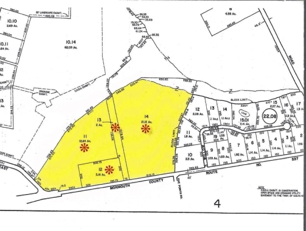

Property Detail
7 Route 537
10-00022-0000-00018
MONMOUTH
Vacantlandnec
New Jersey
AGCL
18
AE The base floodplain where base flood elevations are provided. AE Zones are now used on new format FIRMs instead of A1-A30 Zones.
38.92 AC
2024
Western Monmouth
2025
Northern New Jersey
809901
Lakewood-New Brunswick, NJ
NEARBY LISTINGS FOR SALE OR LEASE
DEMOGRAPHICS near 7 Route 537
1 mile
3 mile
5 mile
2025 Total Population
2,220
21,063
69,280
2030 Population
2,205
20,914
68,700
Pop Growth 2025-2030
(0.68%)
(0.71%)
(0.84%)
Average Age
41
41
42
2025 Total Households
724
6,866
23,200
HH Growth 2025-2030
(0.69%)
(1.02%)
(1.06%)
Median Household Inc
$208,223
$179,304
$149,597
Avg Household Size
3.00
3.00
2.90
2025 Avg HH Vehicles
3.00
2.00
2.00
Median Home Value
$814,024
$764,217
$692,476
Median Year Built
1990
1987
1981
Nearby Places
Map Layers
Map Styles
 Street
 Aerial
Layers
 Traffic
 Biking
Places
Listings with unknown addresses are not visible on the map
- Restaurants
- Banks
- Shops
- Fitness
- Groceries
PUBLIC TRANSPORTATION
AIRPORT
Newark Liberty International
Drive
Walk
Distance
Newark Liberty International
49 min
40.6 mi
Freight Ports
New York Container Terminal
Drive
Walk
Distance
New York Container Terminal
42 min
32.8 mi
Nearby Properties
Address
Land Use
TOTAL SIZE
Lot Size
Zoning
Address
Land Use
TOTAL SIZE
Lot Size
Zoning
904,310 SF
85.13 AC
M2M1
Address
Land Use
TOTAL SIZE
Lot Size
Zoning
267,666 SF
29.06 AC
M-1
Address
Land Use
TOTAL SIZE
Lot Size
Zoning
69.99 AC
SF80
Address
Land Use
TOTAL SIZE
Lot Size
Zoning
73,884 SF
37.60 AC
R-40
Address
Land Use
TOTAL SIZE
Lot Size
Zoning
42,982 SF
118.30 AC
R-40
Address
Land Use
TOTAL SIZE
Lot Size
Zoning
241.06 AC
AG
Address
Land Use
TOTAL SIZE
Lot Size
Zoning
19.02 AC
HD
Address
Land Use
TOTAL SIZE
Lot Size
Zoning
1.06 AC
SF80
Address
Land Use
TOTAL SIZE
Lot Size
Zoning
200,294 SF
12 AC
R10
Address
Land Use
TOTAL SIZE
Lot Size
Zoning
93.79 AC
R-60
Address
Land Use
TOTAL SIZE
Lot Size
Zoning
1,800 SF
83.93 AC
R120
Address
Land Use
TOTAL SIZE
Lot Size
Zoning
56,000 SF
21.53 AC
M-1
Address
Land Use
TOTAL SIZE
Lot Size
Zoning
8.32 AC
R-40
Address
Land Use
TOTAL SIZE
Lot Size
Zoning
22.95 AC
A-1
Address
Land Use
TOTAL SIZE
Lot Size
Zoning
119,817 SF
23 AC
R-60
Address
Land Use
TOTAL SIZE
Lot Size
Zoning
3,663 SF
179.80 AC
SF80
Address
Land Use
TOTAL SIZE
Lot Size
Zoning
65,708 SF
13.65 AC
C5
Address
Land Use
TOTAL SIZE
Lot Size
Zoning
39,321 SF
6.77 AC
C125
Address
Land Use
TOTAL SIZE
Lot Size
Zoning
1,800 SF
39.45 AC
R120
Address
Land Use
TOTAL SIZE
Lot Size
Zoning
42,354 SF
0.92 AC
LI-3
Address
Land Use
TOTAL SIZE
Lot Size
Zoning
36 AC
R-60
Address
Land Use
TOTAL SIZE
Lot Size
Zoning
35.45 AC
R-60
Address
Land Use
TOTAL SIZE
Lot Size
Zoning
64,871 SF
15 AC
R-60
Address
Land Use
TOTAL SIZE
Lot Size
Zoning
34.52 AC
R-60
Address
Land Use
TOTAL SIZE
Lot Size
Zoning
32,800 SF
6.32 AC
LI-3
Address
Land Use
TOTAL SIZE
Lot Size
Zoning
33.73 AC
R-60
Address
Land Use
TOTAL SIZE
Lot Size
Zoning
3,358 SF
16.33 AC
M-1
Address
Land Use
TOTAL SIZE
Lot Size
Zoning
6,072 SF
31.59 AC
OB0
Address
Land Use
TOTAL SIZE
Lot Size
Zoning
17,199 SF
4 AC
Address
Land Use
TOTAL SIZE
Lot Size
Zoning
27.87 AC
A-1
The World's #1 Commercial Real Estate Marketplace
Connect with us
© 2026 CoStar Group
The information above has been obtained from sources believed reliable. While we do not doubt its accuracy we have not verified it and make no guarantee, warranty or representation about it. It is your responsibility to independently confirm its accuracy and completeness. Any projections, opinions, assumptions, or estimates used are for example only and do not represent the current or future performance of the property. The value of this transaction to you depends on tax and other factors which should be evaluated by your tax, financial, and legal advisors. You and your advisors should conduct a careful, independent investigation of the property to determine to your satisfaction the suitability of the property for your needs.