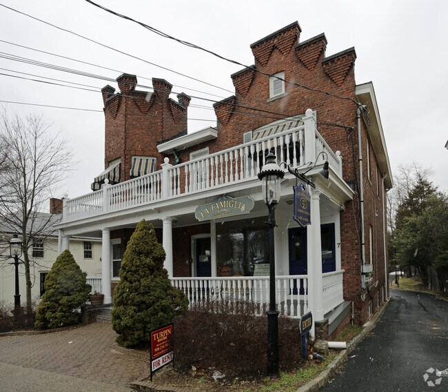
Property Record
7 W Main St, Denville, NJ 07834


Property Detail
7 W Main St
Newark, NJ
Morris
18-00301-0000-00035
New Jersey
Commercialnec
35
B
0.34 AC
2024
Western Morris
2025
Northern New Jersey
046400
NEARBY LISTINGS FOR SALE OR LEASE
DEMOGRAPHICS near 7 W Main St
1 mile
3 mile
5 mile
2025 Total Population
3,726
12,324
42,492
2030 Population
3,796
12,551
43,426
Pop Growth 2025-2030
+ 1.88%
+ 1.84%
+ 2.20%
Average Age
45
43
42
2025 Total Households
1,316
4,176
14,459
HH Growth 2025-2030
+ 1.82%
+ 1.84%
+ 2.25%
Median Household Inc
$206,902
$232,316
$225,420
Avg Household Size
2.70
2.90
2.90
2025 Avg HH Vehicles
2.00
2.00
2.00
Median Home Value
$814,788
$920,830
$827,418
Median Year Built
1968
1972
1973
Nearby Places
Map Layers
Map Styles
 Street
 Aerial
Transit
 Traffic
 Biking
Places
Listings with unknown addresses are not visible on the map
- Restaurants
- Banks
- Shops
- Fitness
- Groceries
PUBLIC TRANSPORTATION
TRANSIT/SUBWAY
Denville (Montclair-Boonton Line - NJ Transit Commuter Rail (NJ Transit), Morris & Essex Morristown Line - NJ Transit Commuter Rail (NJ Transit))
Drive
Walk
Distance
Denville (Montclair-Boonton Line - NJ Transit Commuter Rail (NJ Transit), Morris & Essex Morristown Line - NJ Transit Commuter Rail (NJ Transit))
2 min
15 min
0.8 mi
COMMUTER RAIL
Denville (Montclair-Boonton Line - NJ Transit Commuter Rail (NJ Transit), Morris & Essex Morristown Line - NJ Transit Commuter Rail (NJ Transit))
Drive
Walk
Distance
Denville (Montclair-Boonton Line - NJ Transit Commuter Rail (NJ Transit), Morris & Essex Morristown Line - NJ Transit Commuter Rail (NJ Transit))
2 min
15 min
0.8 mi
Mount Tabor (Morris & Essex Morristown Line - NJ Transit Commuter Rail (NJ Transit))
Drive
Walk
Distance
Mount Tabor (Morris & Essex Morristown Line - NJ Transit Commuter Rail (NJ Transit))
3 min
1.4 mi
AIRPORT
Newark Liberty International
Drive
Walk
Distance
Newark Liberty International
37 min
27.9 mi
LaGuardia
Drive
Walk
Distance
LaGuardia
57 min
43.6 mi
Freight Ports
Maher Terminal
Drive
Walk
Distance
Maher Terminal
41 min
28.5 mi
SALE & LEASE HISTORY
LISTING DATE
SALE/LEASE

Jan 21, 2020
For Lease
Jan 15, 2019
For Lease
Jan 09, 2017
For Lease
Aug 07, 2017
For Lease
Nearby Properties
Address
Land Use
TOTAL SIZE
Lot Size
Zoning
Address
Land Use
TOTAL SIZE
Lot Size
Zoning
24.83 AC
RM15
Address
Land Use
TOTAL SIZE
Lot Size
Zoning
428,141 SF
12.30 AC
OB-3
Address
Land Use
TOTAL SIZE
Lot Size
Zoning
114,267 SF
27.26 AC
SED5
Address
Land Use
TOTAL SIZE
Lot Size
Zoning
257,220 SF
30.83 AC
SED5
Address
Land Use
TOTAL SIZE
Lot Size
Zoning
Address
Land Use
TOTAL SIZE
Lot Size
Zoning
278,943 SF
45.85 AC
PED
Address
Land Use
TOTAL SIZE
Lot Size
Zoning
26,967 SF
14.06 AC
OB-4
Address
Land Use
TOTAL SIZE
Lot Size
Zoning
16.01 AC
R-C
Address
Land Use
TOTAL SIZE
Lot Size
Zoning
11.90 AC
OB3
Address
Land Use
TOTAL SIZE
Lot Size
Zoning
1,440 SF
38.80 AC
I-2
Address
Land Use
TOTAL SIZE
Lot Size
Zoning
270,140 SF
51.78 AC
R-1B
Address
Land Use
TOTAL SIZE
Lot Size
Zoning
19,436 SF
33.20 AC
PED
Address
Land Use
TOTAL SIZE
Lot Size
Zoning
217,502 SF
25 AC
SED5
Address
Land Use
TOTAL SIZE
Lot Size
Zoning
Address
Land Use
TOTAL SIZE
Lot Size
Zoning
26.65 AC
AHD7
Address
Land Use
TOTAL SIZE
Lot Size
Zoning
180,636 SF
65.98 AC
I
Address
Land Use
TOTAL SIZE
Lot Size
Zoning
156,380 SF
9.72 AC
I
Address
Land Use
TOTAL SIZE
Lot Size
Zoning
20 AC
OBRL
Address
Land Use
TOTAL SIZE
Lot Size
Zoning
38.15 AC
R-1
Address
Land Use
TOTAL SIZE
Lot Size
Zoning
379,285 SF
24.01 AC
SD5A
Address
Land Use
TOTAL SIZE
Lot Size
Zoning
378.93 AC
POS
Address
Land Use
TOTAL SIZE
Lot Size
Zoning
Address
Land Use
TOTAL SIZE
Lot Size
Zoning
48,455 SF
8.66 AC
POS
Address
Land Use
TOTAL SIZE
Lot Size
Zoning
124,041 SF
13.72 AC
I
Address
Land Use
TOTAL SIZE
Lot Size
Zoning
30,638 SF
7.44 AC
B-3
Address
Land Use
TOTAL SIZE
Lot Size
Zoning
7.77 AC
RMF
Address
Land Use
TOTAL SIZE
Lot Size
Zoning
911,026 SF
35.10 AC
R-3
Address
Land Use
TOTAL SIZE
Lot Size
Zoning
9 AC
B-2A
Address
Land Use
TOTAL SIZE
Lot Size
Zoning
Address
Land Use
TOTAL SIZE
Lot Size
Zoning
125,850 SF
30 AC
R-13
The World's #1 Commercial Real Estate Marketplace
Connect with us
© 2026 CoStar Group
The information above has been obtained from sources believed reliable. While we do not doubt its accuracy we have not verified it and make no guarantee, warranty or representation about it. It is your responsibility to independently confirm its accuracy and completeness. Any projections, opinions, assumptions, or estimates used are for example only and do not represent the current or future performance of the property. The value of this transaction to you depends on tax and other factors which should be evaluated by your tax, financial, and legal advisors. You and your advisors should conduct a careful, independent investigation of the property to determine to your satisfaction the suitability of the property for your needs.