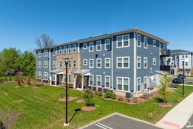
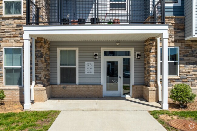
Property Record
70 Hobson Ct, Raritan, NJ 08869

Property Detail
70 Hobson Ct
Newark, NJ
ADDITIONAL LOTS: COAH APARTMENTS/FACILITY NAME: IN-LIEU TAX PAYMENT
21 00027-0000-00022- 01
HUNTERDON
Taxexempt
New Jersey
I-2
22.1
B and X Area of moderate flood hazard, usually the area between the limits of the 100-year and 500-year floods.
8.07 AC
0
Hunterdon County
2026
Northern New Jersey
050500
NEARBY LISTINGS FOR SALE OR LEASE
DEMOGRAPHICS near 70 Hobson Ct
1 mile
3 mile
5 mile
2025 Total Population
3,344
25,673
39,719
2030 Population
3,530
26,439
40,707
Pop Growth 2025-2030
+ 5.56%
+ 2.98%
+ 2.49%
Average Age
41
42
43
2025 Total Households
1,210
9,769
14,769
HH Growth 2025-2030
+ 5.79%
+ 3.01%
+ 2.53%
Median Household Inc
$128,661
$125,105
$144,243
Avg Household Size
2.60
2.60
2.60
2025 Avg HH Vehicles
2.00
2.00
2.00
Median Home Value
$479,647
$493,543
$567,886
Median Year Built
1983
1982
1983
Nearby Places
Map Layers
Map Styles
 Street
 Aerial
Layers
 Traffic
 Biking
Places
Listings with unknown addresses are not visible on the map
- Restaurants
- Banks
- Shops
- Fitness
- Groceries
PUBLIC TRANSPORTATION
COMMUTER RAIL
Raritan (Raritan Valley Line - NJ Transit Commuter Rail (NJ Transit))
Drive
Walk
Distance
Raritan (Raritan Valley Line - NJ Transit Commuter Rail (NJ Transit))
1 min
4 min
0.2 mi
Somerville (Raritan Valley Line - NJ Transit Commuter Rail (NJ Transit))
Drive
Walk
Distance
Somerville (Raritan Valley Line - NJ Transit Commuter Rail (NJ Transit))
6 min
2.1 mi
AIRPORT
Trenton Mercer
Drive
Walk
Distance
Trenton Mercer
52 min
32.5 mi
Newark Liberty International
Drive
Walk
Distance
Newark Liberty International
42 min
34.6 mi
Freight Ports
New York Container Terminal
Drive
Walk
Distance
New York Container Terminal
43 min
33.7 mi
The World's #1 Commercial Real Estate Marketplace
Connect with us
© 2026 CoStar Group
The information above has been obtained from sources believed reliable. While we do not doubt its accuracy we have not verified it and make no guarantee, warranty or representation about it. It is your responsibility to independently confirm its accuracy and completeness. Any projections, opinions, assumptions, or estimates used are for example only and do not represent the current or future performance of the property. The value of this transaction to you depends on tax and other factors which should be evaluated by your tax, financial, and legal advisors. You and your advisors should conduct a careful, independent investigation of the property to determine to your satisfaction the suitability of the property for your needs.