Property Record
70 W Red Oak Ln, West Harrison, NY 10604


NEARBY LISTINGS FOR SALE OR LEASE
Property Detail
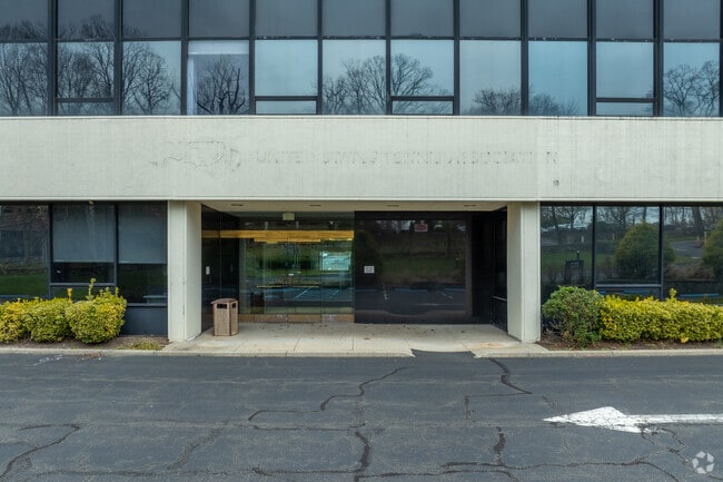
70 W Red Oak Ln
2801-000-621-00000-000-0007
Harrison House Condominium
Officebuilding
Westchester
X
New York
36119C0288F
7
2025
5.53 AC
2024
East I-287 Corridor
008602
Westchester/So Connecticut
102,400 SF
New York-Jersey City-White Plains, NY-NJ
DEMOGRAPHICS near 70 W Red Oak Ln
1 Mile
3 Mile
5 Mile
2024 Total Population
4,549
94,936
235,012
2029 Population
4,644
93,244
230,438
Pop Growth 2024-2029
+ 2.09%
(1.78%)
(1.95%)
Average Age
42
42
42
2024 Total Households
1,188
35,547
86,396
HH Growth 2024-2029
+ 2.69%
(1.74%)
(1.93%)
Median Household Inc
$212,322
$127,849
$135,515
Avg Household Size
2.90
2.50
2.60
2024 Avg HH Vehicles
2.00
2.00
2.00
Median Home Value
$1,022,938
$755,963
$782,982
Median Year Built
1987
1961
1958
Nearby Places
Map Layers
Map Styles
 Street
 Aerial
- Restaurants
- Banks
- Shops
- Fitness
- Groceries
PUBLIC TRANSPORTATION
COMMUTER RAIL
Port Chester Station (New Haven Line - Metro-North Commuter Railroad Company (Metro-North))
DRIVE
WALK
Distance
Port Chester Station (New Haven Line - Metro-North Commuter Railroad Company (Metro-North))
10 min
4.2 mi
Rye Station (New Haven Line - Metro-North Commuter Railroad Company (Metro-North))
DRIVE
WALK
Distance
Rye Station (New Haven Line - Metro-North Commuter Railroad Company (Metro-North))
9 min
4.7 mi
AIRPORT
Westchester County
DRIVE
WALK
Distance
Westchester County
12 min
6.3 mi
LaGuardia
DRIVE
WALK
Distance
LaGuardia
40 min
24.4 mi
John F Kennedy International
DRIVE
WALK
Distance
John F Kennedy International
47 min
31.9 mi
Freight Ports
NY - Red Hook Container Terminal
DRIVE
WALK
Distance
NY - Red Hook Container Terminal
52 min
35.8 mi
SALE & LEASE HISTORY
LISTING DATE
SALE/LEASE

Jun 06, 2023
For Lease
Nearby Properties
Address
Land Use
TOTAL SIZE
Lot Size
Zoning
Address
Land Use
TOTAL SIZE
Lot Size
Zoning
Address
Land Use
TOTAL SIZE
Lot Size
Zoning
5COMMUND
Address
Land Use
TOTAL SIZE
Lot Size
Zoning
277,172 SF
29.98 AC
CD COMM
Address
Land Use
TOTAL SIZE
Lot Size
Zoning
0.01 AC
5COMMUND
Address
Land Use
TOTAL SIZE
Lot Size
Zoning
5COMMUND
Address
Land Use
TOTAL SIZE
Lot Size
Zoning
556,297 SF
25.31 AC
05 - COMME
Address
Land Use
TOTAL SIZE
Lot Size
Zoning
5COMMUND
Address
Land Use
TOTAL SIZE
Lot Size
Zoning
164,312 SF
4.92 AC
Z-4 AIRPRT
Address
Land Use
TOTAL SIZE
Lot Size
Zoning
143,372 SF
24.05 AC
OB-2 OFFC
Address
Land Use
TOTAL SIZE
Lot Size
Zoning
84,747 SF
8.64 AC
C1-P RTAIL
Address
Land Use
TOTAL SIZE
Lot Size
Zoning
188.31 AC
Address
Land Use
TOTAL SIZE
Lot Size
Zoning
85,338 SF
25.19 AC
OB-1 OFFC
Address
Land Use
TOTAL SIZE
Lot Size
Zoning
5.57 AC
AA1
Address
Land Use
TOTAL SIZE
Lot Size
Zoning
477.23 AC
Address
Land Use
TOTAL SIZE
Lot Size
Zoning
5,400 SF
21.08 AC
R-20 SFR
Address
Land Use
TOTAL SIZE
Lot Size
Zoning
109,212 SF
1.80 AC
CD COMM
Address
Land Use
TOTAL SIZE
Lot Size
Zoning
67,759 SF
15.21 AC
R-15 SFR
Address
Land Use
TOTAL SIZE
Lot Size
Zoning
88,129 SF
18.68 AC
OB-1 OFFC
Address
Land Use
TOTAL SIZE
Lot Size
Zoning
5COMMUND
Address
Land Use
TOTAL SIZE
Lot Size
Zoning
Address
Land Use
TOTAL SIZE
Lot Size
Zoning
113,144 SF
6 AC
R-7 SFR
Address
Land Use
TOTAL SIZE
Lot Size
Zoning
45,580 SF
9.17 AC
R2F 2FAM
Address
Land Use
TOTAL SIZE
Lot Size
Zoning
122,134 SF
2.62 AC
M1 INDUST
Address
Land Use
TOTAL SIZE
Lot Size
Zoning
1.21 AC
B
Address
Land Use
TOTAL SIZE
Lot Size
Zoning
21,524 SF
11.06 AC
A2 A
Address
Land Use
TOTAL SIZE
Lot Size
Zoning
8,243 SF
36.48 AC
R-12 SFR
Address
Land Use
TOTAL SIZE
Lot Size
Zoning
62,759 SF
4.12 AC
C1-P RTAIL
Address
Land Use
TOTAL SIZE
Lot Size
Zoning
72,244 SF
3.33 AC
OB-S OFFC
Address
Land Use
TOTAL SIZE
Lot Size
Zoning
113,088 SF
1.41 AC
RA4 MULTIF
Address
Land Use
TOTAL SIZE
Lot Size
Zoning
37,665 SF
6.57 AC
08 - GOVER
The World's #1 Commercial Real Estate Marketplace
Connect with us
© 2025 CoStar Group
The information above has been obtained from sources believed reliable. While we do not doubt its accuracy we have not verified it and make no guarantee, warranty or representation about it. It is your responsibility to independently confirm its accuracy and completeness. Any projections, opinions, assumptions, or estimates used are for example only and do not represent the current or future performance of the property. The value of this transaction to you depends on tax and other factors which should be evaluated by your tax, financial, and legal advisors. You and your advisors should conduct a careful, independent investigation of the property to determine to your satisfaction the suitability of the property for your needs.