Property Record
700 Broad St, Riverton, NJ 08077
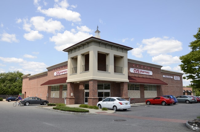


Property Detail
700 Broad St
Philadelphia-Camden-Wilmington, PA-NJ-DE-MD
Burlington
31-01501-0000-00023
New Jersey
Vacantlandnec
23
AE The base floodplain where base flood elevations are provided. AE Zones are now used on new format FIRMs instead of A1-A30 Zones.
1.80 AC
2024
North Burlington County
2025
Philadelphia
700200
NEARBY LISTINGS FOR SALE OR LEASE
DEMOGRAPHICS near 700 Broad St
1 mile
3 mile
5 mile
2025 Total Population
9,357
117,320
416,717
2030 Population
9,633
115,796
411,135
Pop Growth 2025-2030
+ 2.95%
(1.30%)
(1.34%)
Average Age
42
39
39
2025 Total Households
3,737
43,991
153,884
HH Growth 2025-2030
+ 3.10%
(1.32%)
(1.36%)
Median Household Inc
$102,302
$74,827
$67,898
Avg Household Size
2.50
2.60
2.60
2025 Avg HH Vehicles
2.00
2.00
2.00
Median Home Value
$323,819
$248,422
$254,042
Median Year Built
1953
1956
1956
Nearby Places
Map Layers
Map Styles
 Street
 Aerial
Transit
 Traffic
 Biking
Places
Listings with unknown addresses are not visible on the map
- Restaurants
- Banks
- Shops
- Fitness
- Groceries
PUBLIC TRANSPORTATION
COMMUTER RAIL
Tacony (R7 - Southeastern Pennsylvania Transportation Authority Regional Rail (SEPTA Regional Rail))
Drive
Walk
Distance
Tacony (R7 - Southeastern Pennsylvania Transportation Authority Regional Rail (SEPTA Regional Rail))
8 min
3.5 mi
Drive
Walk
Distance
7 min
4.0 mi
AIRPORT
Philadelphia International
Drive
Walk
Distance
Philadelphia International
35 min
20.7 mi
Trenton Mercer
Drive
Walk
Distance
Trenton Mercer
46 min
27.8 mi
Freight Ports
Port of Philadelphia
Drive
Walk
Distance
Port of Philadelphia
15 min
8.4 mi
Nearby Properties
Address
Land Use
TOTAL SIZE
Lot Size
Zoning
Address
Land Use
TOTAL SIZE
Lot Size
Zoning
597,188 SF
120.50 AC
RM2
Address
Land Use
TOTAL SIZE
Lot Size
Zoning
95,280 SF
117.33 AC
I3
Address
Land Use
TOTAL SIZE
Lot Size
Zoning
54.54 AC
Address
Land Use
TOTAL SIZE
Lot Size
Zoning
180,000 SF
23.05 AC
RSA1
Address
Land Use
TOTAL SIZE
Lot Size
Zoning
37.21 AC
SPPOA
Address
Land Use
TOTAL SIZE
Lot Size
Zoning
470,871 SF
41.87 AC
I3
Address
Land Use
TOTAL SIZE
Lot Size
Zoning
410,400 SF
34.14 AC
RSA1
Address
Land Use
TOTAL SIZE
Lot Size
Zoning
95.79 AC
Address
Land Use
TOTAL SIZE
Lot Size
Zoning
227,844 SF
19.82 AC
I2
Address
Land Use
TOTAL SIZE
Lot Size
Zoning
251,791 SF
15.59 AC
I2
Address
Land Use
TOTAL SIZE
Lot Size
Zoning
228,652 SF
12.81 AC
I1
Address
Land Use
TOTAL SIZE
Lot Size
Zoning
437,192 SF
28.03 AC
I2
Address
Land Use
TOTAL SIZE
Lot Size
Zoning
22.49 AC
Address
Land Use
TOTAL SIZE
Lot Size
Zoning
27.33 AC
Address
Land Use
TOTAL SIZE
Lot Size
Zoning
179,848 SF
12.87 AC
RSA1
Address
Land Use
TOTAL SIZE
Lot Size
Zoning
169,768 SF
12.80 AC
Address
Land Use
TOTAL SIZE
Lot Size
Zoning
82.32 AC
Address
Land Use
TOTAL SIZE
Lot Size
Zoning
1,681 SF
3 AC
ICMX
Address
Land Use
TOTAL SIZE
Lot Size
Zoning
19 AC
Address
Land Use
TOTAL SIZE
Lot Size
Zoning
150.59 AC
Address
Land Use
TOTAL SIZE
Lot Size
Zoning
109,445 SF
12.70 AC
ICMX
Address
Land Use
TOTAL SIZE
Lot Size
Zoning
115,573 SF
5.71 AC
CA1
Address
Land Use
TOTAL SIZE
Lot Size
Zoning
25.37 AC
Address
Land Use
TOTAL SIZE
Lot Size
Zoning
24.56 AC
Address
Land Use
TOTAL SIZE
Lot Size
Zoning
205,472 SF
8.40 AC
RM2
Address
Land Use
TOTAL SIZE
Lot Size
Zoning
206,982 SF
8.32 AC
I2
Address
Land Use
TOTAL SIZE
Lot Size
Zoning
37.21 AC
Address
Land Use
TOTAL SIZE
Lot Size
Zoning
3,340 SF
17.52 AC
SPPOA
Address
Land Use
TOTAL SIZE
Lot Size
Zoning
20.30 AC
Address
Land Use
TOTAL SIZE
Lot Size
Zoning
39.58 AC
The World's #1 Commercial Real Estate Marketplace
Connect with us
© 2026 CoStar Group
The information above has been obtained from sources believed reliable. While we do not doubt its accuracy we have not verified it and make no guarantee, warranty or representation about it. It is your responsibility to independently confirm its accuracy and completeness. Any projections, opinions, assumptions, or estimates used are for example only and do not represent the current or future performance of the property. The value of this transaction to you depends on tax and other factors which should be evaluated by your tax, financial, and legal advisors. You and your advisors should conduct a careful, independent investigation of the property to determine to your satisfaction the suitability of the property for your needs.