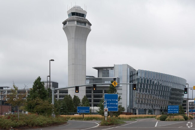
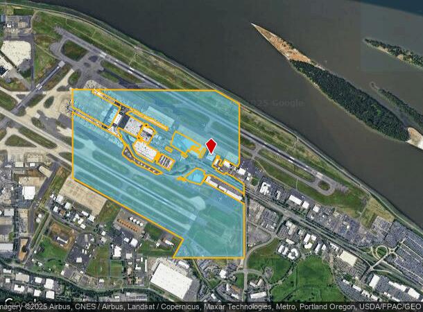
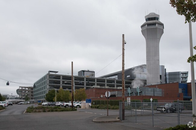
Property Record
7000 Wi Ne Airport Way, Portland, OR 97218
NEARBY LISTINGS FOR SALE OR LEASE
Property Detail
7000 Wi Ne Airport Way
R317054
SECTION 08 1N 2E, TL 300 449.30 ACRES
Industrialacreage
Multnomah
ARE
Oregon
53011C0525D
449.30 AC
2025
Airport Way
2025
Portland
007400
Portland-Vancouver-Hillsboro, OR-WA
72,500 SF
DEMOGRAPHICS near 7000 Wi Ne Airport Way
1 Mile
3 Mile
5 Mile
2024 Total Population
0
65,823
332,597
2029 Population
0
66,982
340,019
Pop Growth 2024-2029
0.00%
+ 1.76%
+ 2.23%
Average Age
0
41
40
2024 Total Households
0
26,468
138,990
HH Growth 2024-2029
0.00%
+ 1.75%
+ 2.12%
Median Household Inc
$0
$82,913
$77,797
Avg Household Size
.00
2.30
2.30
2024 Avg HH Vehicles
.00
2.00
2.00
Median Home Value
$0
$486,784
$481,896
Median Year Built
0
1963
1971
Nearby Places
Map Layers
Map Styles
 Street
 Aerial
- Restaurants
- Banks
- Shops
- Fitness
- Groceries
PUBLIC TRANSPORTATION
TRANSIT/SUBWAY
Portland International Airport (MAX Red Line - Tri-County Metropolitan Transportation District of Oregon Rail (TriMet Rail))
DRIVE
WALK
Distance
Portland International Airport (MAX Red Line - Tri-County Metropolitan Transportation District of Oregon Rail (TriMet Rail))
3 min
16 min
0.8 mi
AIRPORT
Portland International
DRIVE
WALK
Distance
Portland International
3 min
0.8 mi
Freight Ports
Port of Portland
DRIVE
WALK
Distance
Port of Portland
25 min
12.1 mi
Nearby Properties
Address
Land Use
TOTAL SIZE
Lot Size
Zoning
Address
Land Use
TOTAL SIZE
Lot Size
Zoning
1,405,000 SF
16.51 AC
IG2
Address
Land Use
TOTAL SIZE
Lot Size
Zoning
780,691 SF
17.66 AC
OCI
Address
Land Use
TOTAL SIZE
Lot Size
Zoning
15,473 SF
192.67 AC
IG2
Address
Land Use
TOTAL SIZE
Lot Size
Zoning
273,811 SF
6.39 AC
NULL
Address
Land Use
TOTAL SIZE
Lot Size
Zoning
197,027 SF
28.54 AC
R7H
Address
Land Use
TOTAL SIZE
Lot Size
Zoning
817,845 SF
22.54 AC
IG2
Address
Land Use
TOTAL SIZE
Lot Size
Zoning
23.95 AC
IG2
Address
Land Use
TOTAL SIZE
Lot Size
Zoning
352,865 SF
10.10 AC
R-30
Address
Land Use
TOTAL SIZE
Lot Size
Zoning
126.43 AC
IG2
Address
Land Use
TOTAL SIZE
Lot Size
Zoning
356,805 SF
27.10 AC
EG2
Address
Land Use
TOTAL SIZE
Lot Size
Zoning
229,962 SF
30.18 AC
R-6
Address
Land Use
TOTAL SIZE
Lot Size
Zoning
341,504 SF
19.49 AC
R-22
Address
Land Use
TOTAL SIZE
Lot Size
Zoning
126.40 AC
IG2
Address
Land Use
TOTAL SIZE
Lot Size
Zoning
105.72 AC
IG2
Address
Land Use
TOTAL SIZE
Lot Size
Zoning
107,958 SF
2.48 AC
IG2
Address
Land Use
TOTAL SIZE
Lot Size
Zoning
275,661 SF
15.23 AC
R-30
Address
Land Use
TOTAL SIZE
Lot Size
Zoning
133.11 AC
IG2
Address
Land Use
TOTAL SIZE
Lot Size
Zoning
134,442 SF
6.35 AC
OCI
Address
Land Use
TOTAL SIZE
Lot Size
Zoning
1,256 SF
103.58 AC
IG2
Address
Land Use
TOTAL SIZE
Lot Size
Zoning
199,197 SF
10.60 AC
R-22
Address
Land Use
TOTAL SIZE
Lot Size
Zoning
244,000 SF
14.38 AC
R-30
Address
Land Use
TOTAL SIZE
Lot Size
Zoning
47.70 AC
IG2
Address
Land Use
TOTAL SIZE
Lot Size
Zoning
257,560 SF
NULL
Address
Land Use
TOTAL SIZE
Lot Size
Zoning
178,144 SF
6.90 AC
R-22
Address
Land Use
TOTAL SIZE
Lot Size
Zoning
164,030 SF
24.75 AC
R-6
Address
Land Use
TOTAL SIZE
Lot Size
Zoning
184,000 SF
18.88 AC
EG2
Address
Land Use
TOTAL SIZE
Lot Size
Zoning
141,560 SF
8.12 AC
R5
Address
Land Use
TOTAL SIZE
Lot Size
Zoning
58,843 SF
4.53 AC
EG2
Address
Land Use
TOTAL SIZE
Lot Size
Zoning
53.15 AC
IG2
Address
Land Use
TOTAL SIZE
Lot Size
Zoning
174,240 SF
11.25 AC
R-22
The World's #1 Commercial Real Estate Marketplace
Connect with us
© 2025 CoStar Group
The information above has been obtained from sources believed reliable. While we do not doubt its accuracy we have not verified it and make no guarantee, warranty or representation about it. It is your responsibility to independently confirm its accuracy and completeness. Any projections, opinions, assumptions, or estimates used are for example only and do not represent the current or future performance of the property. The value of this transaction to you depends on tax and other factors which should be evaluated by your tax, financial, and legal advisors. You and your advisors should conduct a careful, independent investigation of the property to determine to your satisfaction the suitability of the property for your needs.